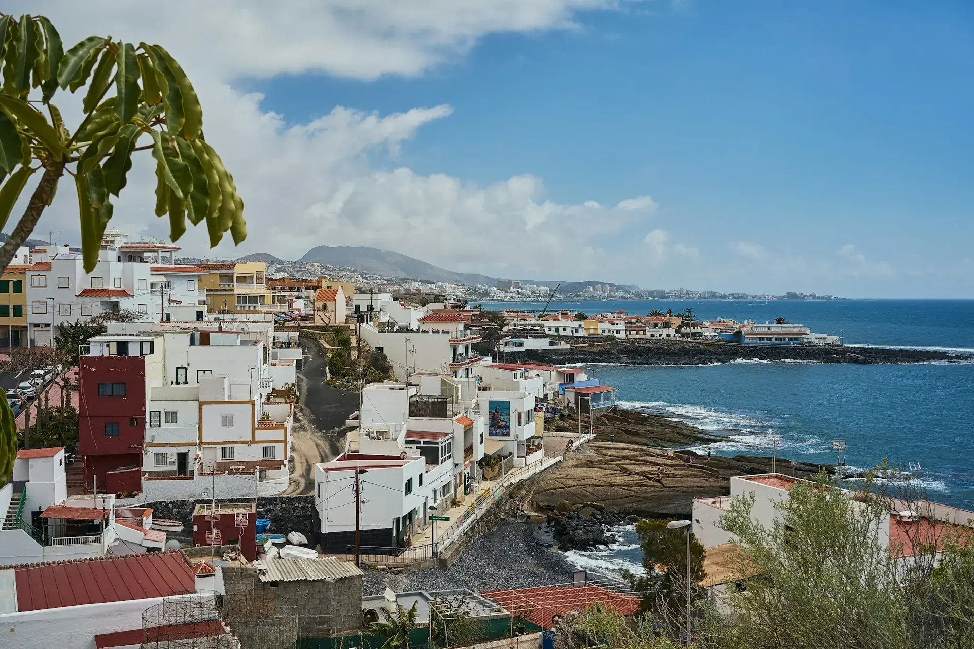
Photo by Bastian Pudill on Unsplash
What to See in North Tenerife: A Guide by Area
The north of Tenerife is the green, humid half of the island: the side that catches the trade winds (the north-easterlies that push clouds against the slopes), with villages of wooden balconies, charcos (natural pools in volcanic rock) and guachinches. The sights are spread along the whole north coast, between Punta de Teno at the western tip and the Anaga massif in the east, with the TF-5 motorway as the backbone. This guide travels that stretch from west to east with the essentials of each stop, the time it needs, where to park and which guagua (the local word for bus) gets there. If you are splitting your trip between the two sides of the island, the guide to what to see in south Tenerife is the other half.
The guagua lines are run by TITSA, the island's intercity bus company, and their timetables change with the season: check them on its website the day before. Prices and opening hours for paid sites are a guide only.
Teno and Buenavista del Norte
The western tip of the island is the Parque Rural de Teno, an ancient massif of cliffs, ravines and isolated hamlets. Buenavista del Norte, a small, quiet town at the end of the road, is the unavoidable starting point for Punta de Teno. Trails, hamlets and viewpoints of the massif are covered in the guide to Teno Rural Park and Punta de Teno.
Punta de Teno
This is Tenerife's westernmost cape, with a lighthouse, a small jetty and a head-on view of the Los Gigantes cliffs. Access along the TF-445 is regulated: according to the Ayuntamiento (town council) of Buenavista del Norte, private vehicles, pedestrians and cyclists are banned every day, and the only way in is guagua 369 or a taxi. The 369 leaves from the Buenavista bus station, takes about 20 minutes and costs €1 per person per journey; check the timetable on the TITSA website. There are exceptions for holders of a reduced-mobility card, and the road closes completely during weather alerts.
- Time: an hour and a half, including the bus ride.
- Parking: leave the car in Buenavista, next to the bus station.
- Guagua: 369 from Buenavista; the 363 links Puerto de la Cruz with Buenavista via Icod, Garachico and Los Silos in an hour and a half.
Masca, the border with the west
The hamlet of Masca sits on the southern side of the massif and is reached on the TF-436 from Santiago del Teide or from Buenavista via El Palmar, a narrow road of hairpin bends with little parking in the village. The descent of the ravine to the sea (about 5 kilometres from about 750 metres above sea level, according to the trail's official website) is regulated: you book on the ravine's official website, it can only be done downhill with a boat out at the end, and non-residents pay a fee.
Garachico and Los Silos
Garachico was the island's main port until the 1706 eruption buried it under lava. The town was rebuilt on top and is now one of the best-preserved historic centres in Tenerife, a Bien de Interés Cultural (listed heritage site) since 1994. The essentials fit into a stroll: the Plaza de la Libertad, the former convent of San Francisco, the Puerta de Tierra (what remains of the old port), the Castillo de San Miguel, a 16th-century fortress by the sea, and El Caletón, the natural pools the lava formed at the foot of the castle, facing the Roque de Garachico. The full tour is in what to see in Garachico. More historic centres like this one are in the prettiest villages in Tenerife.
Los Silos, five minutes away, is a farming town with a tree-lined square and a much quieter centre.
- Time: two hours in Garachico, more if you swim at El Caletón; half an hour in Los Silos.
- Parking: paid and free areas along Garachico's seafront avenue; they fill up by mid-morning at weekends.
- Guagua: 363, which stops in both towns.
Icod de los Vinos: the Drago and the Cueva del Viento
The Drago Milenario is the best-known dragon tree in existence, about 21 metres tall and, by the Ayuntamiento's estimate, around a thousand years old, although botanists put it lower. You can see it from inside the paid Parque del Drago, open 8:00–19:00 according to the town's website, or for free from the square of the church of San Marcos, where you can see it in full; the park adds a garden of Canary Islands flora.
The Cueva del Viento is the longest lava tube in Europe, with 18.5 kilometres surveyed. It can only be visited with a guide and an advance booking on its website, and the tour combines a walk outside with entry into part of the cave. The visitor centre, in the upper part of Icod, is open daily 9:00–16:00; general admission costs €25 (€15 for Canary Islands residents and €8.50 for children aged 5 to 12) and children under five are not allowed in.
- Time: an hour for the Drago and the town centre; about two hours for the cave from the visitor centre.
- Parking: paid, next to the Parque del Drago; the cave has parking at the visitor centre.
- Guagua: 363 from Puerto de la Cruz; 108 Icod–La Orotava–La Laguna–Santa Cruz, an hour and a quarter. No guagua goes to the cave entrance.
San Juan de la Rambla and La Guancha: the charcos
Between Icod and Los Realejos, the main road passes through two small towns whose draw is their natural pools. In San Juan de la Rambla, the Charco de la Laja opens out below a viewpoint of the same name, with steps down, a sun deck, parking and bars next to the town centre; the official advice is to swim at low tide and only in summer, because the swell can be strong. In La Guancha, the Charco del Viento fills a more open lava platform below the banana plantations, with fewer facilities. Both feature in the guide to natural pools in Tenerife.
- Time: an hour per charco, more if you swim.
- Parking: next to the viewpoint in San Juan de la Rambla; a dirt area at the Charco del Viento.
- Guagua: 363 for San Juan de la Rambla.
Los Realejos: Rambla de Castro
Rambla de Castro is a 45-hectare Protected Landscape on the coastal cliff of Los Realejos: Canary Island palm groves, tabaibas, dragon trees and a hermitage dedicated to San Pedro on a hillock. The coastal path starts at the Mirador de San Pedro, next to the TF-5 exit, and links the Casona de Castro, the San Fernando fort and the old Gordejuela water-pumping station, an early 20th-century industrial ruin clinging to the cliff. It is mostly flat and suitable for families.
- Time: two hours there and back to Gordejuela.
- Parking: free at the Mirador de San Pedro; it fills up on Sundays.
- Guagua: 363 and 108 stop at the Los Realejos junction; from there it is a walk to the viewpoint.
Puerto de la Cruz
This has been the north's tourist town since the 19th century. It has its own guide: what to see in Puerto de la Cruz.
- Lago Martiánez: the saltwater pool complex designed by César Manrique on the seafront. Paid entry at the ticket office; check the current opening hours before you go.
- Botanical Garden: the Jardín de Aclimatación de La Orotava, founded in the 18th century and now run by the ICIA, is open 9:00–18:00 (last entry 17:30) and closes on 1 January, Good Friday and 25 December.
- Old town: the Plaza del Charco, the fishing harbour, the church of La Peña de Francia and the Castillo de San Felipe at the end of the promenade.
- Playa Jardín: black sand, Manrique gardens and breakwaters; the north's urban beach with the most facilities, although in 2026 there were temporary swimming bans because of water quality (check its status before you go), covered in detail in the best beaches in north Tenerife.
- Loro Parque: the zoo at Punta Brava, on the outskirts; a full day on its own.
- Time: a day.
- Parking: paid car parks in the centre and next to the Lago; blue-zone street parking is limited.
- Guagua: 102 from Santa Cruz along the TF-5, stopping in La Laguna, one hour; the 363 leaves Puerto's bus station heading west.
La Orotava
Five kilometres up the slope, La Orotava is the valley's stately old town: steep streets, mansions with balconies of tea (resinous Canary pine heartwood) and a collection of churches and gardens you can see on foot in a morning. The Casa de los Balcones, a 17th-century palace with a courtyard and wooden balconies, is open daily 9:00–19:00 (the museum closes at 18:00). Add the church of La Concepción, the terraced Jardines Victoria and the Hijuela del Botánico. Around Corpus Christi, in late May or June, carpets of flowers and sand from Teide cover the square in front of the Ayuntamiento.
- Time: half a day.
- Parking: paid, in the centre; avoid driving into the old town, as the streets are very narrow.
- Guagua: 101 from La Laguna along the old northern main road, one hour, via Tacoronte, El Sauzal, La Matanza, La Victoria and Santa Úrsula; 108 from Santa Cruz and Icod.
Acentejo: Santa Úrsula, La Victoria, La Matanza, El Sauzal and Tacoronte
This band of midland slopes between La Orotava and La Laguna is wine country, home to the Tacoronte-Acentejo designation of origin and the birthplace of guachinches, the seasonal eateries where winegrowers sell their own wine with a few home-cooked dishes. It has no single landmark; you come here to eat, to look out to sea from the cliff-top viewpoints and to taste wine at a winery. Two stops in El Sauzal: the Casa del Vino, the Cabildo's museum, with free entry, a terrace over the coast and closed on Mondays, and the La Garañona viewpoint, above the cliffs of the Costa de Acentejo. To choose where to eat, see the guide to guachinches in Tenerife.
- Time: an afternoon, lunch included.
- Parking: easy in the towns; at guachinches, along the edges of the lanes.
- Guagua: the 101 runs through all five municipalities; guachinches are usually an uphill walk from the stop.
Tegueste and Tejina
Tegueste is an inland municipality with no coastline, with a centre of low houses, wineries and a farmers' market that gets very busy at weekends. Tejina, already part of La Laguna, is the town of the Corazones, the frames of fruit and leaves raised in August. Both lie on the way between La Laguna and Bajamar, can be seen in an hour, and lines 050 and 105 stop in each.
Bajamar and Punta del Hidalgo
At the foot of Anaga, two neighbouring coastal towns share the same character: a seafront promenade, rolling surf and natural pools. The pools at Bajamar, run by the council and with lifeguards in season, fly the Blue Flag in 2026; the charcos at Punta del Hidalgo are more open, with a walk to the lighthouse and the start (or end) of the PR-TF 10 trail, which climbs to Chinamada.
- Time: two hours; half a day with a swim.
- Parking: free next to the Bajamar pools and on the open area in Punta del Hidalgo.
- Guagua: 050 from La Laguna, 40 minutes; 105 from Santa Cruz, one hour.
La Laguna, a World Heritage Site
San Cristóbal de La Laguna was the island's first capital, and UNESCO listed it in 1999 as an example of an unwalled colonial town, the model for the cities later founded in the Americas. Much of the old town is flat and pedestrianised: calle Obispo Rey Redondo, the Cathedral, the church of La Concepción and its tower, the Plaza del Adelantado, the Palacio de Nava and the convent of Santa Catalina. At around 550 metres above sea level, it is cooler and cloudier than the coast; bring a jacket even in summer. Streets, museums and how to get there are covered in what to see in La Laguna.
- Time: half a day; a whole afternoon if you go into the museums.
- Parking: paid underground car parks next to the old town; street parking is difficult.
- Guagua: tram line 1 from Santa Cruz; La Laguna bus interchange for lines 050, 101 and 102. Its refurbishment is planned from mid-November 2026 for about 20 months, with a temporary station: check the departure stop with TITSA.
Anaga, the grand finale
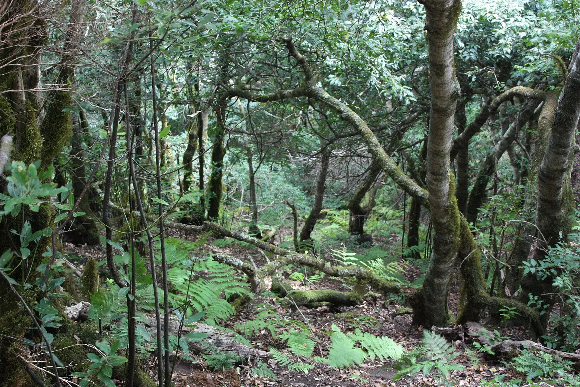
The Anaga massif covers the whole north-eastern tip and has been a Biosphere Reserve since 2015: laurel forest (laurisilva), viewpoints over both coasts, hamlets such as Taganana and Chinamada, and wild beaches. It needs a day of its own on slow roads, and is covered separately in the Anaga Rural Park guide.
How to split it over two or three days
- Day 1, Isla Baja: Garachico first thing, Icod (the Drago and, if booked, the Cueva del Viento), lunch in Garachico and guagua 369 to Punta de Teno in the afternoon from Buenavista. Overnight in Garachico or Puerto de la Cruz.
- Day 2, the Orotava Valley: Rambla de Castro in the morning, Puerto de la Cruz at midday and La Orotava in the afternoon; dinner at a guachinche in Santa Úrsula or La Matanza with a driver who is not drinking.
- Day 3, La Laguna and the Anaga coast: La Laguna's old town in the morning, Bajamar and Punta del Hidalgo at midday, and Cruz del Carmen and the Pico del Inglés viewpoint at sunset.
With only two days, drop the charcos and Tegueste, and cut Puerto de la Cruz down to the Botanical Garden and the old town. The Tenerife road trip puts these stops in driving order with journey times.
The north's climate and when to go
The north side is exposed to the trade wind, the north-easterly that prevails for most of the year. According to AEMET (Spain's state meteorological agency), a layer of cloud forms beneath the temperature inversion and, when it meets the mountains, keeps the slopes damp and green; seen from above, this is the sea of clouds. In practice, the north has more cloud and is a few degrees cooler than the south, especially in the midlands, where the laurel forest grows. The coast usually sees sunshine at midday even when La Laguna is overcast.
Rain falls mostly between November and March, the months when a weather front can close the Teno road or the Anaga trails. Spring and autumn are the best seasons: mild temperatures, fewer people and the midlands in bloom. In summer many seasonal guachinches have already closed; in winter the north is greener and the sea rougher. Calima (dust from Africa suspended in the air) can wipe out the views in any month.
Frequently asked questions
How many days do you need to see the north of Tenerife?
Three days cover the essentials without rushing: one for the Isla Baja (Garachico, Icod, Teno), another for the Orotava Valley and a third for La Laguna, Bajamar and a first foray into Anaga. With two days, choose between Teno and Anaga, because each end takes half a day on the road alone.
Where should you stay to explore the north?
Puerto de la Cruz is the most practical base: the widest choice of hotels, a bus station with lines heading west and towards Santa Cruz, and less than an hour to almost everything. Garachico is quieter if you are focusing on the Isla Baja; La Laguna suits those who prefer a city atmosphere and being close to Anaga and the north airport.
Can you tour the north without a car?
Yes, although it takes longer. The 102 links Santa Cruz and La Laguna with Puerto de la Cruz, the 363 strings together Puerto de la Cruz, Icod, Garachico, Los Silos and Buenavista, the 369 goes up to Punta de Teno, the 101 runs through Acentejo, and the 050 and 105 reach Bajamar and Punta del Hidalgo. What is not well covered is Masca, the Cueva del Viento and the inland hamlets of Anaga.
Is the weather always bad in the north?
No. It is cloudier and cooler than the south, but the coast usually clears by midday and the rain is concentrated in winter. If La Laguna wakes up under cloud, head down to the coast or up above the sea of clouds towards Teide, and save Anaga for a clear day.
Keep planning
You may also like
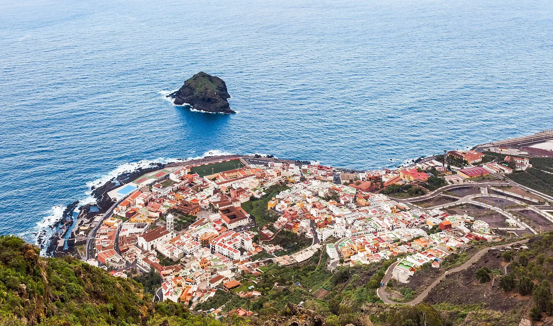
Garachico, Tenerife: old town, El Caletón and the Isla Baja
What to see in Garachico in half a day: the port buried by lava in 1706, the historic centre, El Caletón, the castle, San Roque, buses and where to park.
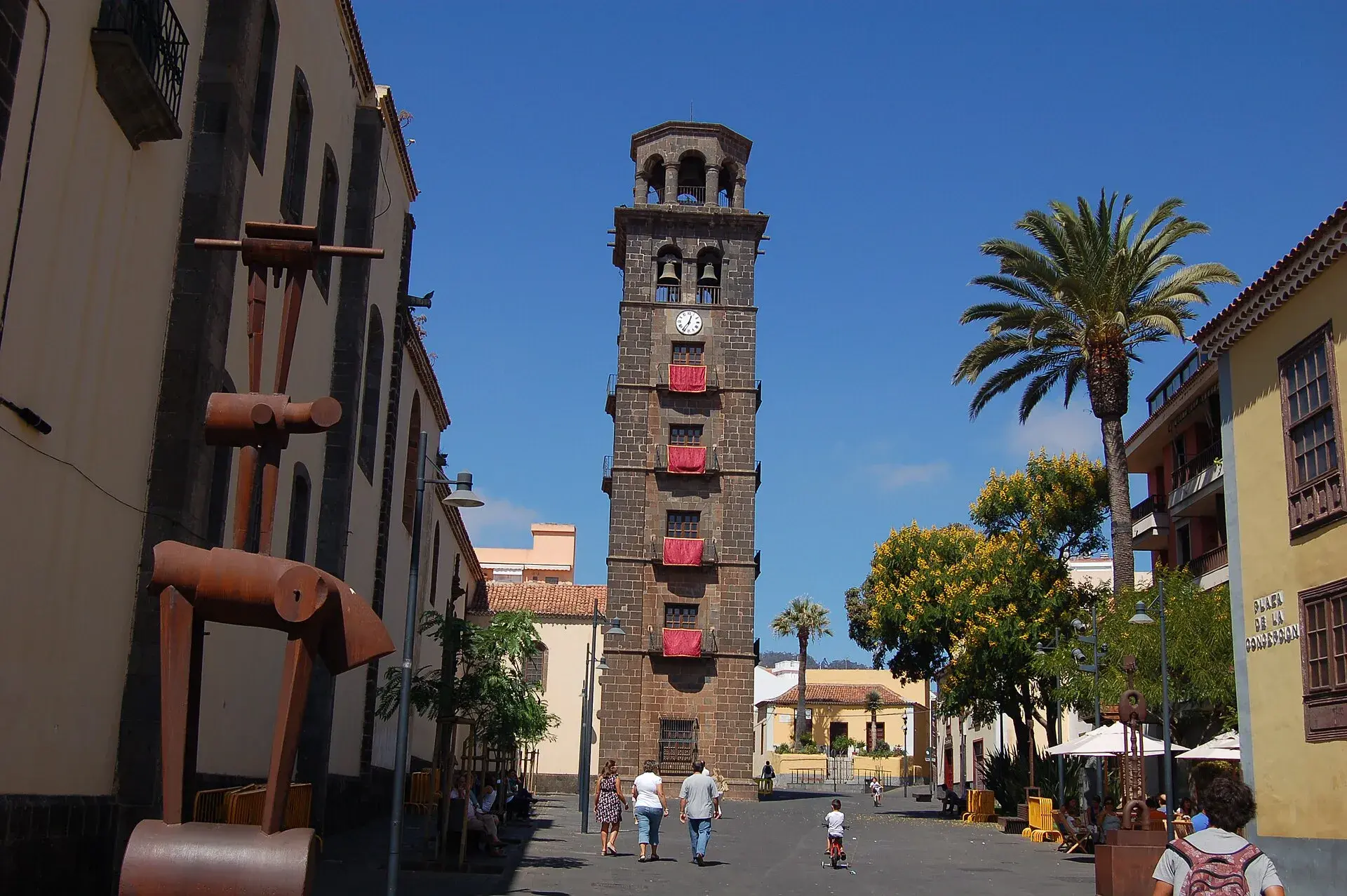
La Laguna, Tenerife: old town, museums and how to get there
What to see in La Laguna step by step: walking route through the World Heritage old town, cathedral, museums, tram, parking, festivals and a trip to Anaga.
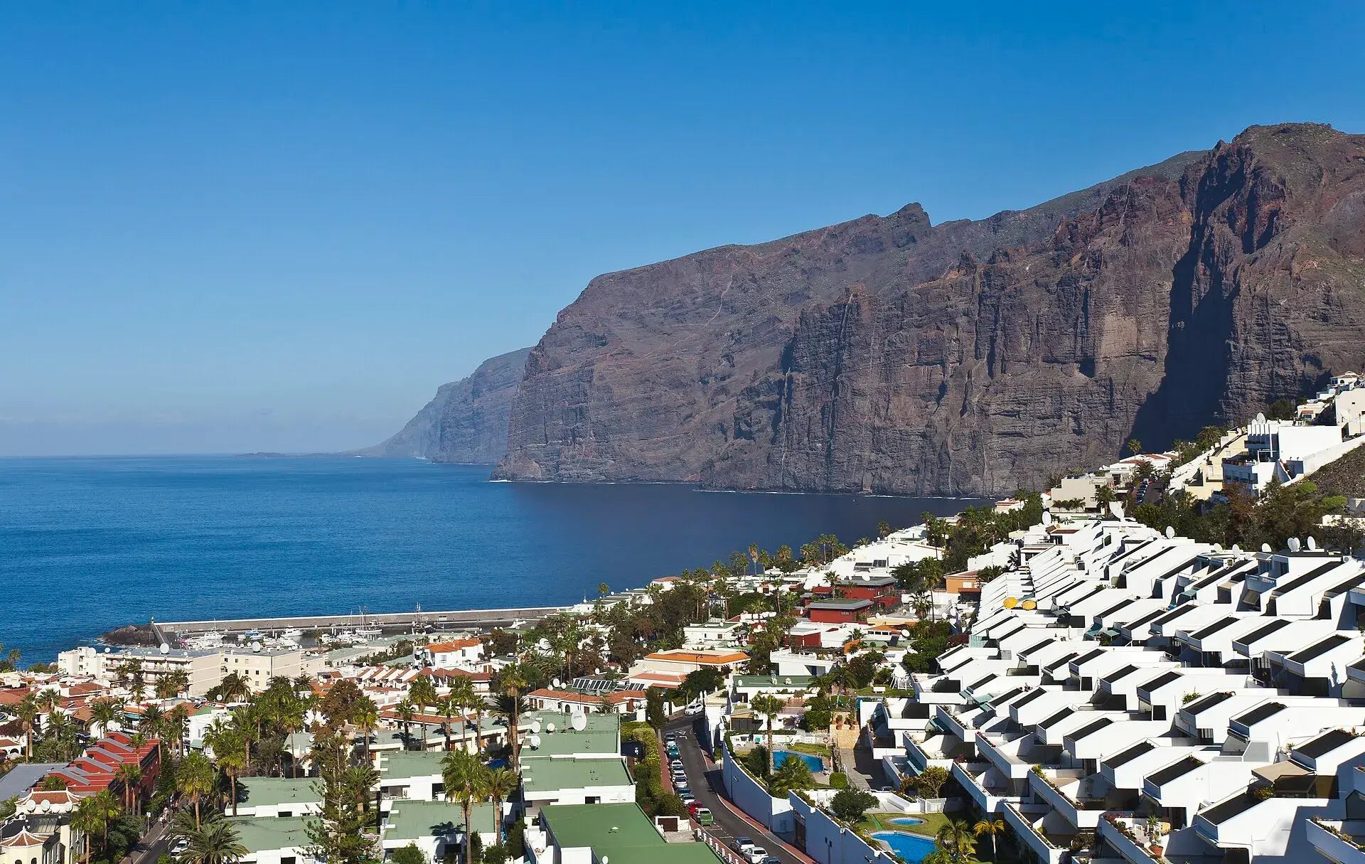
Los Gigantes Tenerife: cliffs, boat trips, beaches and access
Los Gigantes (Tenerife): cliffs up to 600 m, Archipenque viewpoint, boats from the marina, Los Guíos, rock pools, buses 473 and 477 and where to park.
Tenerife protected areas rules: trail quotas and drones
Rules for Tenerife's protected areas: trails that need booking, Teide, Masca and El Pijaral, drones, camping, wildfire alerts, dogs and fines in 2026.