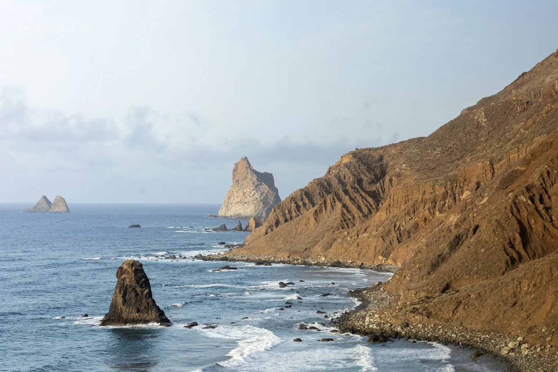
Photo by Iuliia Dutchak on Unsplash
Anaga Rural Park: a guide to visiting
Anaga is the mountain range at the far northeastern tip of Tenerife: some 14,400 hectares of ridges, ravines and laurisilva (the humid laurel forest that has survived since the Tertiary period), with hamlets that the road did not reach until well into the 20th century. It has been a Rural Park since 1994 and a Biosphere Reserve since 9 June 2015, and you can visit it in a day from Santa Cruz or La Laguna, although it deserves two: one for the ridge and its viewpoints and another for the Taganana coast or a long hike. This guide covers how to get there by car and by guagua (the local word for bus), what to see in each area, the trails with official data, the El Pijaral permit and the park rules. The rest of the northern side of the island is in what to see in the north of Tenerife.
What Anaga is
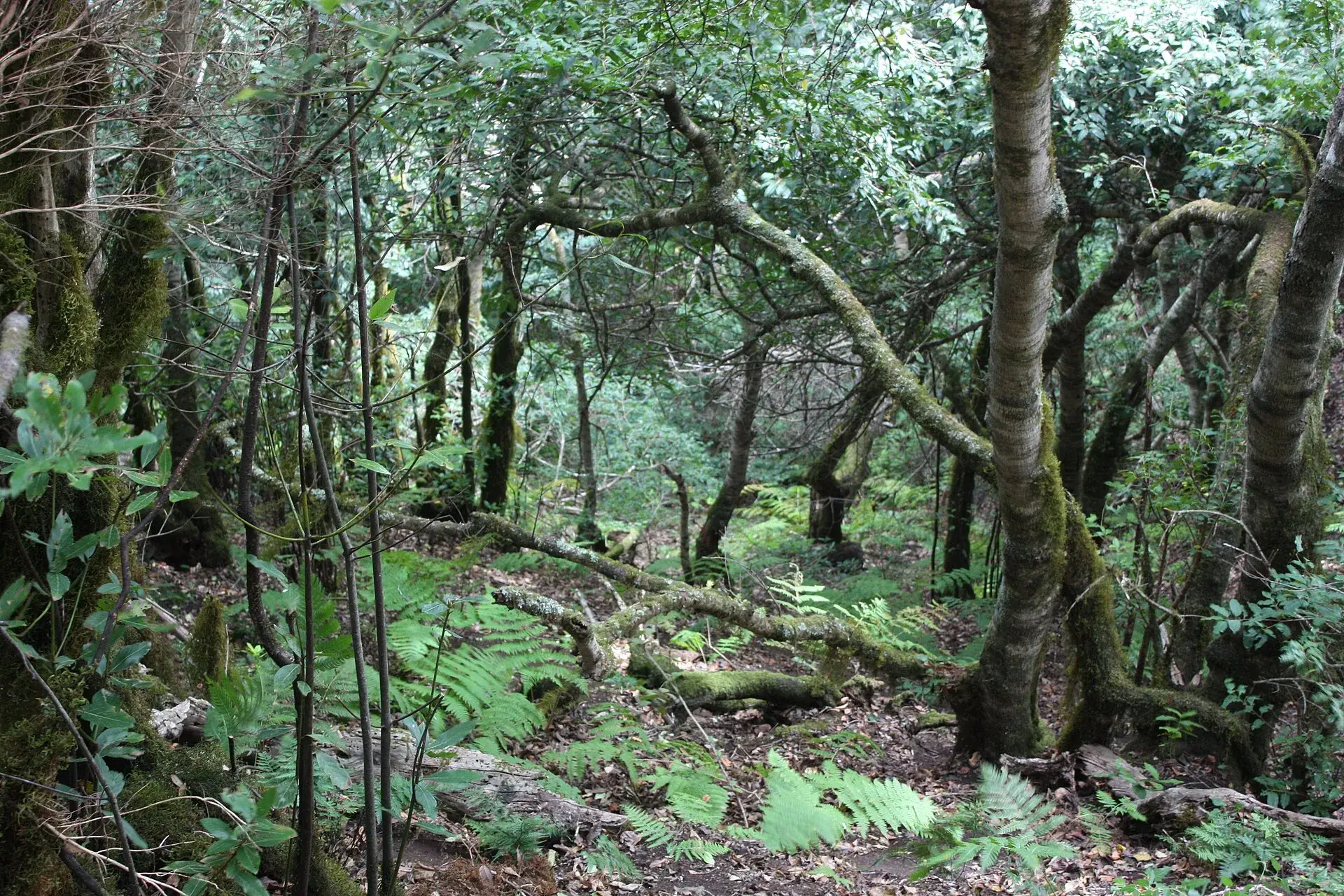
Anaga is one of the three ancient massifs that formed the island, older than Teide, and its terrain is the most rugged in Tenerife: ridges of around 1,000 metres that drop to the sea on both sides in sheer-walled ravines. The ridge, battered by the trade winds, is covered in laurisilva, the forest that shades ferns and mosses and shelters the laurel pigeon and Bolle's pigeon, both endemic to the Canary Islands. It was declared a Natural Park in 1987 and reclassified as a Rural Park in 1994, covering 14,418 hectares across Santa Cruz de Tenerife, La Laguna and Tegueste; within it are three strict nature reserves (Ijuana, El Pijaral and the Roques de Anaga). The Biosphere Reserve, at 49,948 hectares according to its official website, adds the strip of sea around the massif.
Rural means inhabited: Taganana, Afur, Taborno, Chamorga and Chinamada are still villages with residents, vegetable plots and terraced vineyards, and that shapes your visit: narrow roads, scarce parking and private land to respect.
How to get there
By car there are two ways in. From La Laguna, the TF-12 climbs through Las Mercedes to Cruz del Carmen and continues along the ridge towards El Bailadero; from Santa Cruz, the TF-11 runs to San Andrés and Las Teresitas, and from there the TF-12 climbs up to El Bailadero. At that junction the TF-134 begins, dropping down to Taganana, Roque de las Bodegas, Almáciga and Benijo, as does the TF-123, which continues to Chamorga. The roads to Taborno, Las Carboneras, Chinamada and Afur branch off the TF-12 and are narrower still. Allow about 30 minutes from Santa Cruz to Cruz del Carmen and around an hour to Taganana.
By guagua, TITSA lines serve the main villages with infrequent departures, so check the timetables on its website before you set off:
- 946: Santa Cruz bus station, San Andrés, El Bailadero junction, Taganana and Almáciga, about 60 minutes.
- 947: Santa Cruz bus station, San Andrés, El Bailadero and Chamorga, about 80 minutes.
- 077: La Laguna bus station, Cruz del Carmen, the Taborno and Afur junctions and El Bailadero, about 70 minutes.
- 076: La Laguna, Cruz del Carmen, Las Carboneras junction, Roque Negro and Afur.
- 275: La Laguna, Cruz del Carmen, Las Carboneras and Taborno.
- 273: La Laguna bus station, Las Mercedes and Cruz del Carmen, Saturdays, Sundays and public holidays only.
- 050 and 105: La Laguna or Santa Cruz to Bajamar and Punta del Hidalgo, the end of the Chinamada trail.
Lines leaving La Laguna bus interchange may change stops: its refurbishment is planned from mid-November 2026 for about 20 months, with a temporary station.
Cruz del Carmen and the Sendero de los Sentidos
The Cruz del Carmen visitor centre, at 920 metres on the TF-12, is the first stop: maps, an exhibition about the park, information on trail conditions and permits, a bar and a viewpoint over the La Laguna plain with Teide in the background. Entry is free; according to Tenerife ON, it opens from 9:30 to 16:00 (until 15:00 in July, August and September) and closes on 24, 25 and 31 December and on 1 and 6 January.
The Sendero de los Sentidos (Trail of the Senses) starts at the centre: three short loops through the laurisilva with panels inviting you to smell, touch and listen to the forest. The first has a wooden boardwalk and is suitable for pushchairs and people with reduced mobility; the second, about 500 metres long, adds steps and a bridge; the third, the longest, descends to the Llano de los Loros viewpoint. Altogether they cover about two kilometres of easy walking, enough to understand the forest without doing a full hike.
The viewpoints
- Jardina: on the TF-12 just past Las Mercedes, over the La Laguna plain and, on clear days, Teide.
- Cruz del Carmen: next to the visitor centre, the easiest view of the ridge.
- Pico del Inglés: at 980 metres, with parking, via a short turn-off from the TF-12; it takes in Santa Cruz, both coasts, Teide and, when visibility is good, Gran Canaria.
- El Bailadero: at 800 metres, at km 11 of the TF-12, above Taganana; the junction where you head down to the coast.
- Cabezo del Tejo: on foot only, above the Roques de Anaga and the Taganana coast; the direct way is the circular trail from La Ensillada through El Pijaral, with a permit.
- Aguaide: on the cliff edge at Chinamada, above Punta del Hidalgo, also on foot only.
Mist is part of the landscape: if the ridge is inside the cloud, head down to the coast and come back in the afternoon. The island's other lookouts are in the best viewpoints in Tenerife.
Taganana and the coast
The TF-134 winds down from El Bailadero to Taganana, one of the oldest villages on the island, founded in the 16th century around the church of Nuestra Señora de las Nieves, with white houses and terraced vineyards. The road continues along the coast: Roque de las Bodegas, with fish restaurants and a small beach; Almáciga, with the widest and most usable beach in the area, popular with surfers; and Benijo, the black-sand cove facing the Roques de Anaga, which the town council has kept closed since July 2024 because of rockfalls. Its current status, the viewpoint and the coastal path are covered in our guide to Playa de Benijo; the open beaches on this coast and their conditions are in the best beaches in the north of Tenerife. Parking is limited to the roadside, which fills up from mid-morning at weekends.
Chinamada and its cave houses
Chinamada is a hamlet belonging to La Laguna, perched above the Punta del Hidalgo ravine, where most homes are carved into the tosca, the soft volcanic rock, and are still lived in: a tradition that, according to Tenerife ON, dates back to Guanche times and survived because flat land was scarce and kept for farming. There is a chapel, a bar and the Aguaide viewpoint ten minutes away on foot. You can get there by car on the very narrow road up from Las Carboneras, or on foot along the PR-TF 10 from Cruz del Carmen. It is one of the stops in our guide to charming corners and lesser-known places in Tenerife.
Taborno
Taborno is a one-street hamlet on a ridge below the Roque de Taborno, the rock spire that locals compare to the Matterhorn. Its isolation has preserved cave houses, haylofts and traditional huts. There is a bar with a terrace and a short trail around the rock; bus 275 runs here from La Laguna.
Afur and Playa de Tamadite
Afur is a handful of houses at the bottom of a ravine with one of the island's few year-round streams. This is the start of the PR-TF 8 Afur–Taganana–Afur, which follows the ravine down to Playa de Tamadite, a black-sand beach with no facilities at all, climbs to El Chorro and Taganana and returns through the Las Vueltas woodland: according to the Turismo de Tenerife route sheet, it is a 14.3-kilometre loop, about seven hours, of medium difficulty with 1,546 metres of cumulative elevation change and some very steep stretches. The Afur–Tamadite section alone, out and back the same way, is a shorter option. Swimming at Tamadite is dangerous because of the currents; bus 076 reaches Afur.
Chamorga, the Faro de Anaga and Roque Bermejo
Chamorga is the easternmost hamlet on the island, at the end of the TF-123 and of line 947. From the village, the PR-TF 06.1 climbs past the Casas de Tafada to the Faro de Anaga (Anaga lighthouse): according to Tenerife ON, 2.78 kilometres one way, one hour forty minutes, medium difficulty and almost no shade. Below the lighthouse, at sea level, lies Roque Bermejo, a fishing hamlet with a jetty and a beach that can only be reached on foot or by boat, and which lets you close a loop by returning to Chamorga through the ravine. The long variant, the PR-TF 06 from El Draguillo, is 6.8 kilometres, four hours forty minutes and 841 metres of elevation change, rated difficult.
El Pijaral, the Enchanted Forest: permit and quota
The El Pijaral Strict Nature Reserve, covering 300.7 hectares, protects some of the finest laurisilva in Tenerife, with twisted, moss-covered trunks, hence its name, the Bosque Encantado (Enchanted Forest). You can only enter on the La Ensillada–Cabezo del Tejo–La Ensillada loop and with prior authorisation from the Cabildo (the island government), which you request on Tenerife ON or through its booking centre. According to the Cabildo's online portal, the permit is free, the quota is 45 people a day with a maximum of 5 per application, bookings open 14 days in advance (places are released on Mondays at 7:00, Canary Islands time) and you must carry the permit, printed or on your phone, together with your national ID card or passport. Only individuals are admitted, not organised groups or companies; the route must be done on foot and the permit is valid only for the stated day and during daylight. The trailhead is at La Ensillada, on the Chamorga road, with a small car park.
Punta del Hidalgo
At the northwestern tip of the massif, Punta del Hidalgo is the only village in Anaga with a seafront promenade, natural pools and a lighthouse, and the natural end point of the PR-TF 10, which comes down from Cruz del Carmen via Chinamada. Buses 050 and 105 let you do that route without a car and get back to La Laguna or Santa Cruz.
Top routes with official data
- PR-TF 10 Cruz del Carmen–Punta del Hidalgo: 10.4 kilometres one way, four hours, medium difficulty, 420 metres of ascent and 1,300 of descent, via Las Carboneras and Chinamada; no permit needed. The park's classic route, with a bus back.
- PR-TF 8 Afur–Taganana–Afur: 14.3-kilometre loop, seven hours, medium difficulty, 1,546 metres of elevation change; the most demanding on this list.
- PR-TF 06.1 Chamorga–Faro de Anaga: 2.78 kilometres, one hour forty minutes, medium difficulty; short, with the best finish.
- Sendero de los Sentidos: about two kilometres across three loops, easy, the first one accessible.
- La Ensillada–Cabezo del Tejo: loop through El Pijaral, permit only.
The figures come from the official route sheets of Tenerife ON and Turismo de Tenerife; check each trail's status on Tenerife ON, which closes them during weather alerts. More options in the best hikes in Tenerife.
Rules and safety
- Mist and cold. The ridge spends much of the year inside the cloud: bring warm clothing and a waterproof even in summer, and a torch if you will be walking in the afternoon.
- Roads. Narrow, with blind bends, cyclists and buses; do not stop on the carriageway to take photos.
- Parking. Only in viewpoint car parks and on the marked roadside spaces in the villages; never in front of farm gates or entrances.
- Trails. Stay on the waymarked trails and do not cut corners; check the route status at Cruz del Carmen or on Tenerife ON, and call 112 in an emergency.
- Permits. El Pijaral requires authorisation; the rest of the park does not. Quotas, drones and fines in the island's protected areas are summarised in the rules for Tenerife's natural areas.
- Rubbish, fire and plants. Take your rubbish with you, do not light fires and do not pick plants or take stones.
- The sea. No lifeguards and strong currents; only swim when the sea is calm, at Almáciga or Roque de las Bodegas.
Best time to visit
Anaga can be visited all year round. Spring brings the forest into flower; summer has the clearest skies on the ridge and the best swimming on the coast; autumn is mild and quieter. In winter it rains more and mist is common, but the massif is greener and the ravines carry water. At weekends the Taganana road and the viewpoints get crowded: if you can, go on a weekday and early in the morning, when the ridge is usually clearer.
Frequently asked questions
Do you need a permit to visit Anaga?
No. The park is freely accessible by road and along its waymarked trails. Only the El Pijaral Strict Nature Reserve requires a free prior authorisation from the Cabildo, with a quota of 45 people a day.
Can you visit Anaga without a car?
Yes. The 946 runs from Santa Cruz to Taganana and Almáciga in an hour; the 947 goes to Chamorga; the 077 and 076 run from La Laguna to Cruz del Carmen, Taborno and Afur; the 275 goes to Taborno; and the 050 and 105 go to Punta del Hidalgo. The most practical combination is to take the bus up to Cruz del Carmen, walk down the PR-TF 10 and return from Punta del Hidalgo.
What is the best short walk?
The Sendero de los Sentidos at Cruz del Carmen, two kilometres long, to see the laurisilva with no effort; and the PR-TF 06.1 from Chamorga to the Faro de Anaga, 2.78 kilometres and one hour forty minutes, if you want a walk with sea views.
Can you go to the beach in Anaga?
Yes, with care. Almáciga and Roque de las Bodegas are the usable beaches, with restaurants nearby and no lifeguards. Benijo has been closed since July 2024, and Tamadite and Roque Bermejo can only be reached on foot and have strong currents.
Keep planning
You may also like
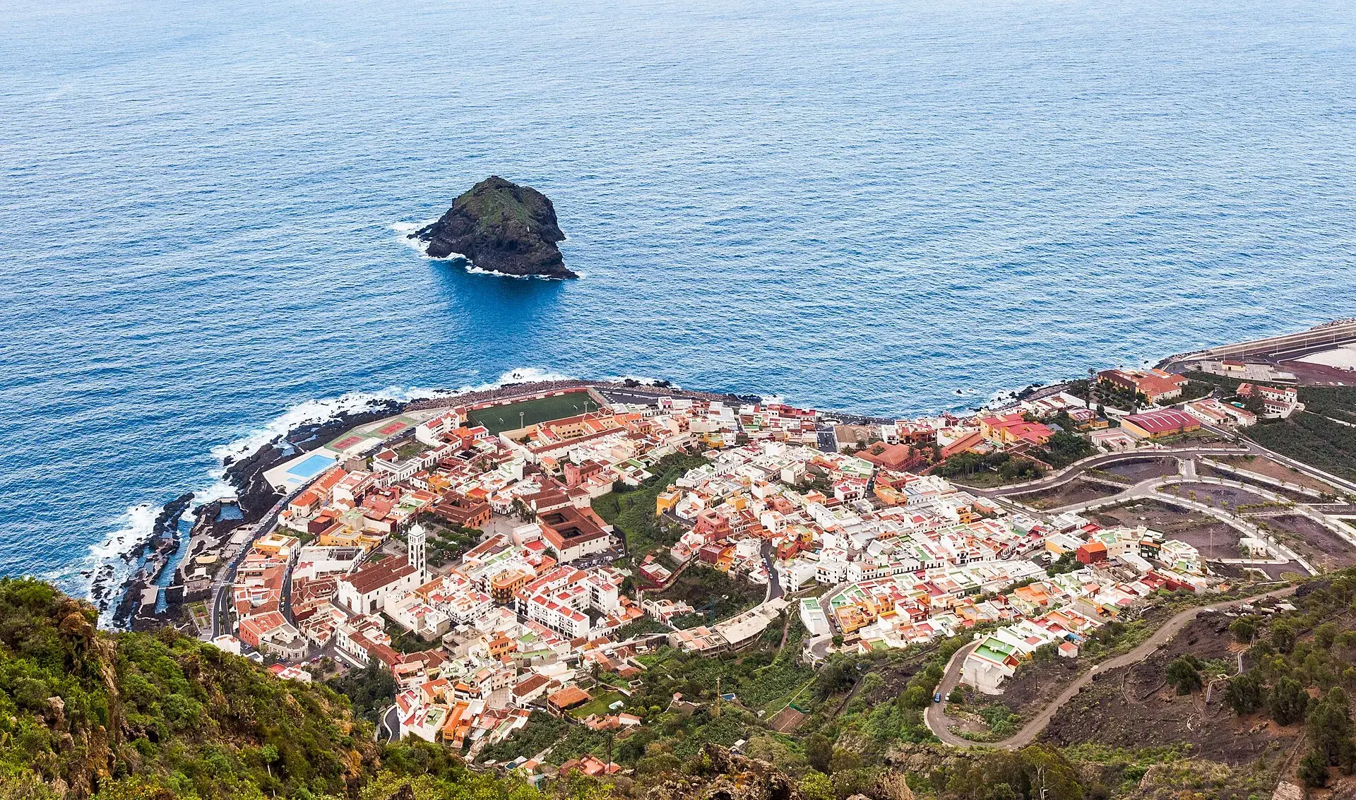
Garachico, Tenerife: old town, El Caletón and the Isla Baja
What to see in Garachico in half a day: the port buried by lava in 1706, the historic centre, El Caletón, the castle, San Roque, buses and where to park.
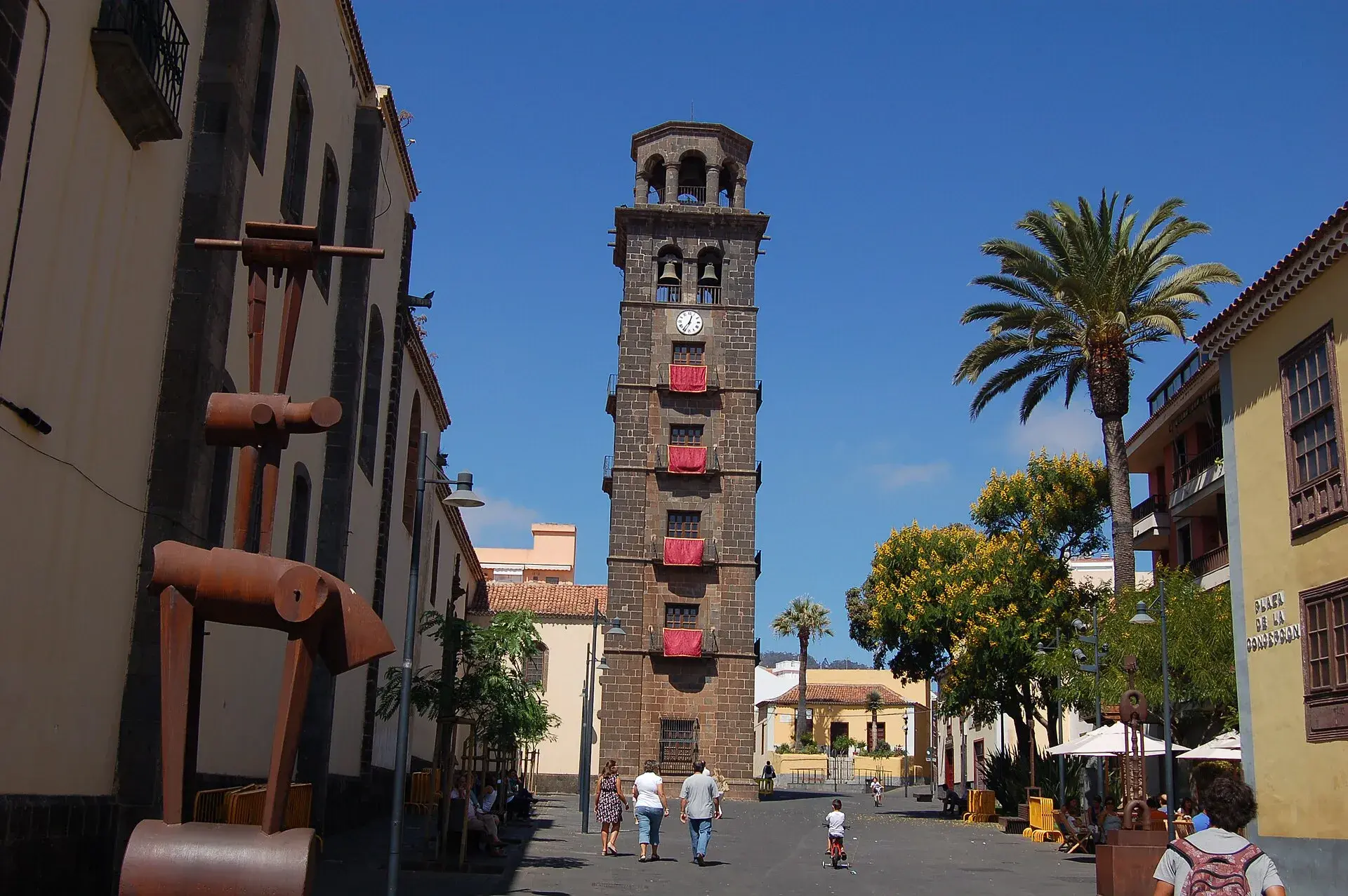
La Laguna, Tenerife: old town, museums and how to get there
What to see in La Laguna step by step: walking route through the World Heritage old town, cathedral, museums, tram, parking, festivals and a trip to Anaga.
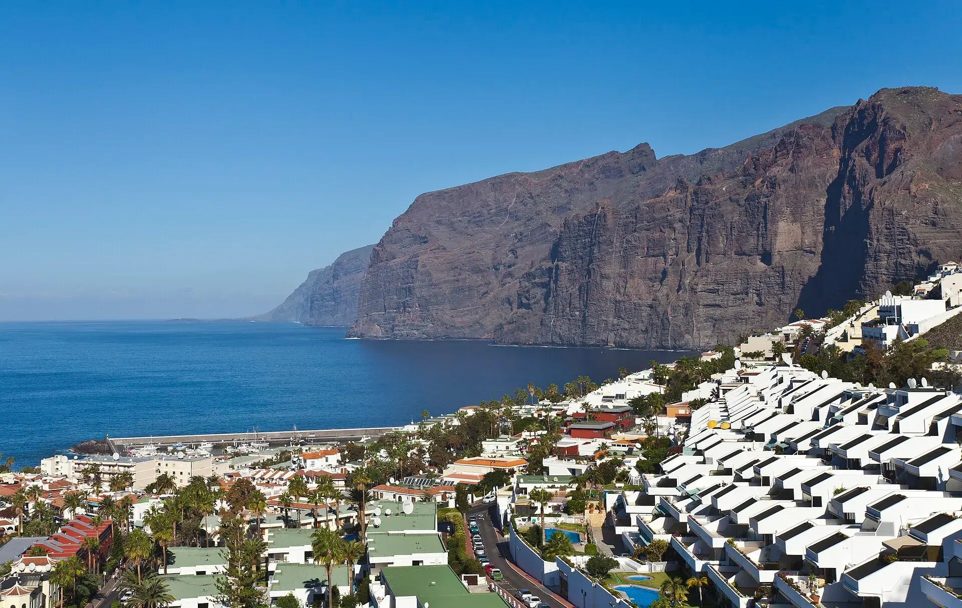
Los Gigantes Tenerife: cliffs, boat trips, beaches and access
Los Gigantes (Tenerife): cliffs up to 600 m, Archipenque viewpoint, boats from the marina, Los Guíos, rock pools, buses 473 and 477 and where to park.
Tenerife protected areas rules: trail quotas and drones
Rules for Tenerife's protected areas: trails that need booking, Teide, Masca and El Pijaral, drones, camping, wildfire alerts, dogs and fines in 2026.