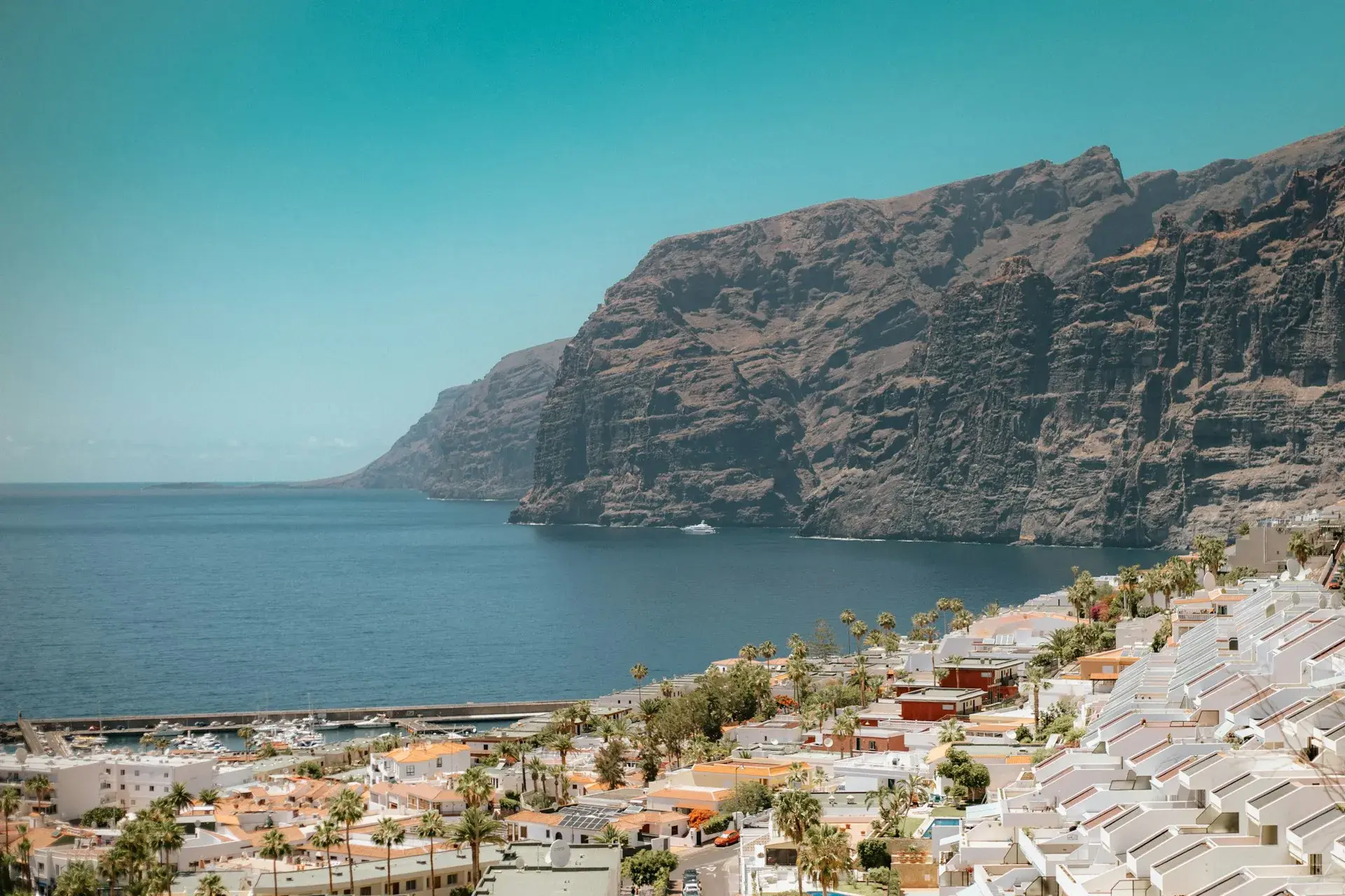
Photo by Eugen Sacalî on Unsplash
What to See in South Tenerife: Beyond the Resorts
The south of Tenerife is the island's dry, sunny side, home to the resorts of Costa Adeje, Playa de las Américas and Los Cristianos, but almost everything really worth seeing lies outside them: in the old towns of the midlands (Adeje, Arona, Vilaflor, Granadilla), on the windy coast at El Médano, at the Los Gigantes cliffs and in the sea that links them, with a resident, protected and internationally recognised population of pilot whales. This guide organises all of that by area, with the time each stop needs, where to park and which TITSA guagua (the local word for bus) gets there, and suggests how to split it over two or three days. The other half of the island is in what to see in north Tenerife.
Bus timetables change with the season and some Adeje lines are diverted because of roadworks: check them on the TITSA website the day before. Prices and opening hours for paid sites are those published on their official websites at the time of writing and are worth confirming.
Costa Adeje, Playa de las Américas and Los Cristianos: what they have and what they lack
The three resorts form a continuous built-up strip of about ten kilometres between Los Cristianos and La Caleta. What they have: sandy beaches with every facility, including Playa del Duque and Torviscas in Costa Adeje and Las Vistas between Las Américas and Los Cristianos, all three flying the Blue Flag in 2026 (Playa de Los Cristianos lost it this year); a seafront promenade you can walk from end to end; the port of Los Cristianos, with ferries to La Gomera in about 50 to 60 minutes; Puerto Colón, where most whale-watching boats depart; Siam Park, the Costa Adeje water park; and the island's greatest concentration of restaurants, hotels and nightlife. What they lack: a historic centre or traditional architecture, except for the old quay in Los Cristianos, which keeps something of its fishing past. They are a comfortable base, not a destination in themselves: the beaches are compared in the best beaches in south Tenerife and the areas to stay in where to stay in Tenerife.
- Time: half a day of strolling; the rest, beach.
- Parking: paid along almost the whole seafront; difficult in summer and at Easter.
- Guagua: 110 from Santa Cruz, direct on the TF-1, 55 minutes; 111 via Candelaria, Güímar and the airport, an hour and a half; 342 from the Costa Adeje bus station to Teide; 343 between the two airports.
La Caleta
At the end of the Costa Adeje promenade, La Caleta is still a small fishing village, with fish restaurants above the quay and a rocky point protected as a Site of Scientific Interest. Playa de la Enramada, of dark sand and pebbles, is right next to it. It is the best place to eat without leaving the Adeje coast and to watch the sunset with La Gomera opposite.
- Time: two hours, lunch included.
- Parking: an open area next to the village; it fills up at lunchtime at weekends.
- Guagua: no useful direct line; the practical option is to walk along the promenade from Playa del Duque, about 30 to 40 minutes.
Adeje old town and the Barranco del Infierno
Adeje's old town sits about 300 metres above the sea and ten minutes from the coast, with calle Grande as its main street, the 16th-century church of Santa Úrsula and the ruins of the Casa Fuerte, the fortress of the lords of Adeje. It is a midland town with a life of its own, a market and restaurants serving chicken in garlic, and the gateway to the Barranco del Infierno.
The ravine is a Special Nature Reserve and visits are regulated by its operator: advance booking on the official website is compulsory, the daily capacity is limited and a safety helmet is included. According to that website, entry costs €16 for non-residents and €6 for Canary Islands residents; the trail is 6.5 kilometres there and back, about three hours, with 250 metres of ascent and low-to-medium difficulty, ending at a waterfall at the head of the ravine. In summer (1 June to 15 September) entry is between 8:00 and 10:30 and the site closes at 13:30; in winter (16 September to 31 May), entry is 8:30–11:30 and closing is at 14:30. It closes in rain or during weather alerts, and in high season places sell out days or weeks in advance.
- Time: an hour for the old town; four with the ravine.
- Parking: on the streets of the old town, scarce in the morning; the trailhead is at the top of calle de los Molinos.
- Guagua: 473 (Los Cristianos–Los Gigantes) stops in Adeje; check for possible roadwork diversions.
Arona old town and Vilaflor: the Paisaje Lunar and the road up to Teide
Arona, the municipal capital for Los Cristianos and Las Américas, is a quiet midland town with the church of San Antonio Abad, a square with café terraces and the Roque del Conde opposite; half an hour's stroll on the way to Vilaflor.
Vilaflor de Chasna, at around 1,400 metres, is the highest village in the Canary Islands. It has a square with the church of San Pedro, a monumental Canary Island pine (the Pino Gordo) at the entrance to the village and a tradition of spring water, honey and high-altitude wine. From here the PR-TF 72 trail leads to the Paisaje Lunar, the eroded white tuff formations of Los Escurriales in the Corona Forestal Natural Park: according to the Turismo de Tenerife route sheet, it is a 12.9-kilometre circular route, about four hours, of medium difficulty, with 778 metres of cumulative ascent between 1,381 and 1,967 metres, and no permit needed. The route and the village have their own guide: Paisaje Lunar and Vilaflor. Vilaflor is also where the TF-21 starts towards Boca Tauce and Las Cañadas, the southern entrance to the national park, which has its own Teide National Park guide.
- Time: an hour in Vilaflor; half a day with the Paisaje Lunar.
- Parking: free in the square and at the entrance to the village.
- Guagua: 482 Los Cristianos–Arona–Vilaflor, 40 minutes.
El Médano, La Tejita and Montaña Roja
El Médano is the town of the wind: a 750-metre beach of golden-brown sand with shallow water, windsurfing and kitesurfing almost every day, a seafront promenade, a square with café terraces, showers, toilets and assisted bathing for people with reduced mobility in summer. To the west, beyond the Montaña Roja Special Nature Reserve (166 hectares over three kilometres of coast, with the reddish volcanic cone that gives the area its name), lies La Tejita, a kilometre of undeveloped sand with surf and a naturist tradition at the end closest to the mountain. The climb to the top of Montaña Roja is short and shadeless, and gives the best view of both beaches.
- Time: half a day; a full day with a swim at both beaches.
- Parking: limited in El Médano; a dirt area at La Tejita, which fills up at weekends.
- Guagua: 470 El Médano–La Tejita–Los Abrigos–Las Galletas–Los Cristianos, one hour.
Los Abrigos, Granadilla and San Miguel
Los Abrigos is a one-street fishing village above the quay, with fish restaurants whose tables fill up at weekends; more a stop for dinner than for sightseeing. Up the slope, Granadilla de Abona keeps an old town of cobbled streets and old houses around the church of San Antonio de Padua, and San Miguel de Abona, another small midland town, reaches down to Montaña Amarilla, a Natural Monument of yellow tuff next to Costa del Silencio where swimming and snorkelling are good when the sea is calm.
- Time: an hour per town; an afternoon for Montaña Amarilla.
- Parking: easy in the old towns; limited at Montaña Amarilla.
- Guagua: 416 Granadilla–San Miguel–Los Cristianos, 40 minutes; 470 for Los Abrigos.
Playa San Juan and Alcalá
In Guía de Isora, between Costa Adeje and Los Gigantes, two coastal towns have grown without losing their scale: Playa San Juan, with its dark-sand beach, promenade and fishing quay, and Alcalá, with charcos (natural pools) on the lava platform and the Playa de la Jaquita. They are where the people of the south-west go to eat, and a quiet alternative for staying overnight.
- Time: an hour each.
- Parking: easy outside high season.
- Guagua: 473, which stops in Playa San Juan.
Los Gigantes and Puerto de Santiago
The Los Gigantes cliffs, up to 600 metres high according to Turismo de Canarias, close off the southern side of the Teno massif and plunge into the sea above Playa de los Guíos, a black-sand cove at the foot of the wall. The town is a hillside resort with a marina from which boats leave to tour the cliffs and to watch whales and dolphins. The Archipenque viewpoint, on the road into town, gives the classic photo. Neighbouring Puerto de Santiago has Playa de la Arena, a wider black-sand beach. From Santiago del Teide, further up the road, the TF-436 descends to Masca via the Cruz de Hilda viewpoint: a narrow road of hairpin bends that is one of the sights of the west in its own right. Boats, beaches and access are covered in the guide to Los Gigantes.
- Time: half a day; add two hours if you go up to Masca.
- Parking: narrow, steep streets in Los Gigantes; a small car park next to Playa de los Guíos.
- Guagua: 473 from Los Cristianos via Adeje and Playa San Juan, an hour and twenty minutes; 477 direct from the Costa Adeje bus station, 50 minutes.
The sea: whales and dolphins in Teno-Rasca
The Teno-Rasca marine strip, about 22 kilometres between Punta El Fraile (Teno) and Punta Salema (Rasca, near Las Galletas), is a Special Area of Conservation in the Natura 2000 network and, since January 2021, Europe's first Whale Heritage Site, recognised by the World Cetacean Alliance. The reason is a resident population of about 200 short-finned pilot whales, joined by bottlenose dolphins all year round and other passing species. Trips leave from Los Cristianos, Puerto Colón and Los Gigantes, last two to three hours and run all year; choose boats flying the Barco Azul (Blue Boat) flag, the Canary Islands Government's authorisation for this activity. Trips, prices and seasons are compared in whale and dolphin watching in Tenerife.
The nearby east: Candelaria and Güímar
Half an hour from Los Cristianos on the TF-1 towards Santa Cruz, the Güímar valley area is the half-day trip that the fewest visitors make. Candelaria is the town of the Virgen de Candelaria, patron saint of the Canary Islands: the current basilica, from the mid-20th century, presides over a square open to the sea with the nine bronze statues of the menceyes, the island's Guanche kings; on 2 February and 15 August the town fills with pilgrims. Güímar has the Pirámides de Güímar, the ethnographic park created around the six stepped pyramids studied by Thor Heyerdahl, with a museum and gardens: it is open daily 10:00–18:00, except 1 January and 25 December, and the basic ticket costs €12.50 (€18 for the full ticket) according to its website. On the coast, the Malpaís de Güímar is a Special Nature Reserve with a flat trail through the Montaña Grande lava field from the Puertito de Güímar. More trips like this are in the best excursions in Tenerife.
- Time: half a day; a full day with the Malpaís.
- Parking: free next to the basilica (full on feast days) and at the Pirámides.
- Guagua: 120 Santa Cruz–Candelaria–Puertito de Güímar–Güímar, 45 minutes; the 111 stops in Candelaria on its way south.
How to split it over two or three days
- Day 1, Adeje and the sea: Barranco del Infierno first thing (booked in advance), Adeje old town, lunch in La Caleta and an afternoon whale-watching trip from Puerto Colón.
- Day 2, the midlands and the wind: Arona and Vilaflor in the morning, the Paisaje Lunar or the drive up to Teide on the TF-21, and El Médano with Montaña Roja at sunset; dinner in Los Abrigos.
- Day 3, the west: Playa San Juan or Alcalá on the way, Los Gigantes and Playa de los Guíos, Masca on the TF-436 and back via Santiago del Teide. If you prefer less driving, swap this day for Candelaria and Güímar.
With two days, drop the east and shorten the third day to Los Gigantes without Masca. If you are travelling with children, the guide to Tenerife with kids adapts these stops to ages and timings.
Good to know
- Bookings. The Barranco del Infierno and the Barranco de Masca have quotas that sell out; Teide via the TF-21 does not need a booking, but the cable car and the summit permit do.
- Sun and wind. It rarely rains in the south, but the sun and the wind at El Médano or Montaña Roja are punishing; bring water, a cap and sun protection even in winter.
- Roads. The TF-1 is fast; the roads to Vilaflor, Masca and Los Gigantes are slow and winding. A 30-kilometre journey can take an hour.
- Calima. Dust from Africa suspended in the air reaches the south more often and blots out the views of La Gomera and Teide for a day or two.
Frequently asked questions
Is it worth leaving the resorts in south Tenerife?
Yes. The resorts take care of the beach and your accommodation, but the south's heritage and landscapes are 15 to 60 minutes away: the Barranco del Infierno and Adeje old town, Vilaflor and the Paisaje Lunar, El Médano and Montaña Roja, Los Gigantes and Masca. By car or with lines 473, 482 and 470 you can cover almost all of it.
Can you see the south without a car?
Largely, yes. The 473 links Los Cristianos, Adeje, Playa San Juan and Los Gigantes; the 477 runs direct from Costa Adeje to Los Gigantes; the 482 climbs to Arona and Vilaflor; the 470 connects Los Cristianos with Los Abrigos, La Tejita and El Médano; the 342 goes to Teide; and the 120, from Santa Cruz, to Candelaria and Güímar. What does not work well without a car is Masca and the Malpaís de Güímar.
How many days do you need?
Three well-planned days cover Adeje, the sea, the midlands, El Médano and the west; with two, leave out Candelaria and Güímar. Beaches and Siam Park are separate and come on top of the days you spend at the resort.
When is the best time to visit the south?
Any time: it is the part of the island with the most sunshine and the least rain. Summer is hot and windy in El Médano; from November to March temperatures are mild and the Barranco del Infierno and the Paisaje Lunar are more pleasant to walk. Pilot whales can be seen all year round.
Keep planning
You may also like
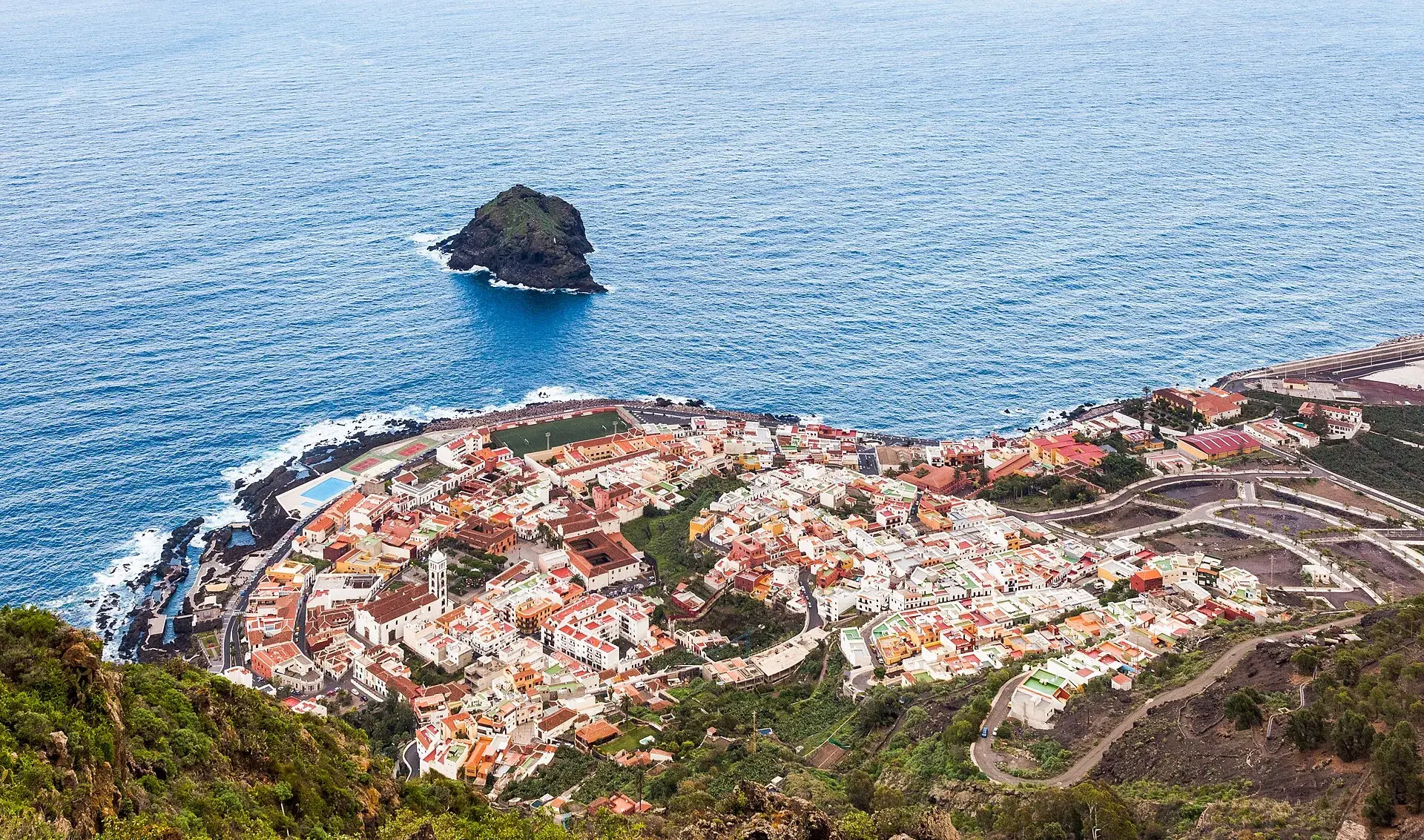
Garachico, Tenerife: old town, El Caletón and the Isla Baja
What to see in Garachico in half a day: the port buried by lava in 1706, the historic centre, El Caletón, the castle, San Roque, buses and where to park.
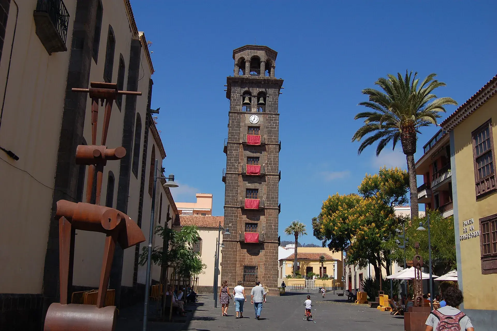
La Laguna, Tenerife: old town, museums and how to get there
What to see in La Laguna step by step: walking route through the World Heritage old town, cathedral, museums, tram, parking, festivals and a trip to Anaga.
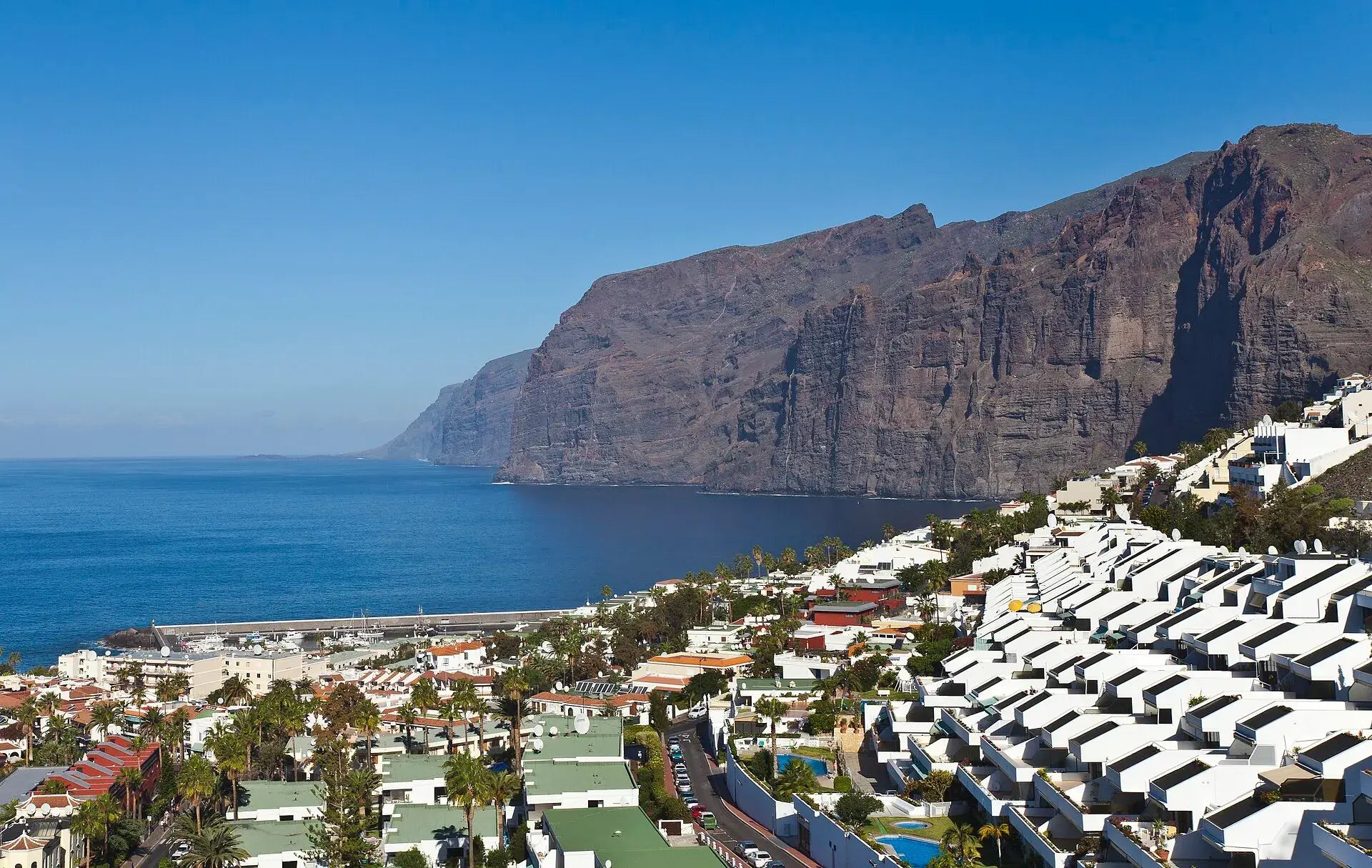
Los Gigantes Tenerife: cliffs, boat trips, beaches and access
Los Gigantes (Tenerife): cliffs up to 600 m, Archipenque viewpoint, boats from the marina, Los Guíos, rock pools, buses 473 and 477 and where to park.
Tenerife protected areas rules: trail quotas and drones
Rules for Tenerife's protected areas: trails that need booking, Teide, Masca and El Pijaral, drones, camping, wildfire alerts, dogs and fines in 2026.