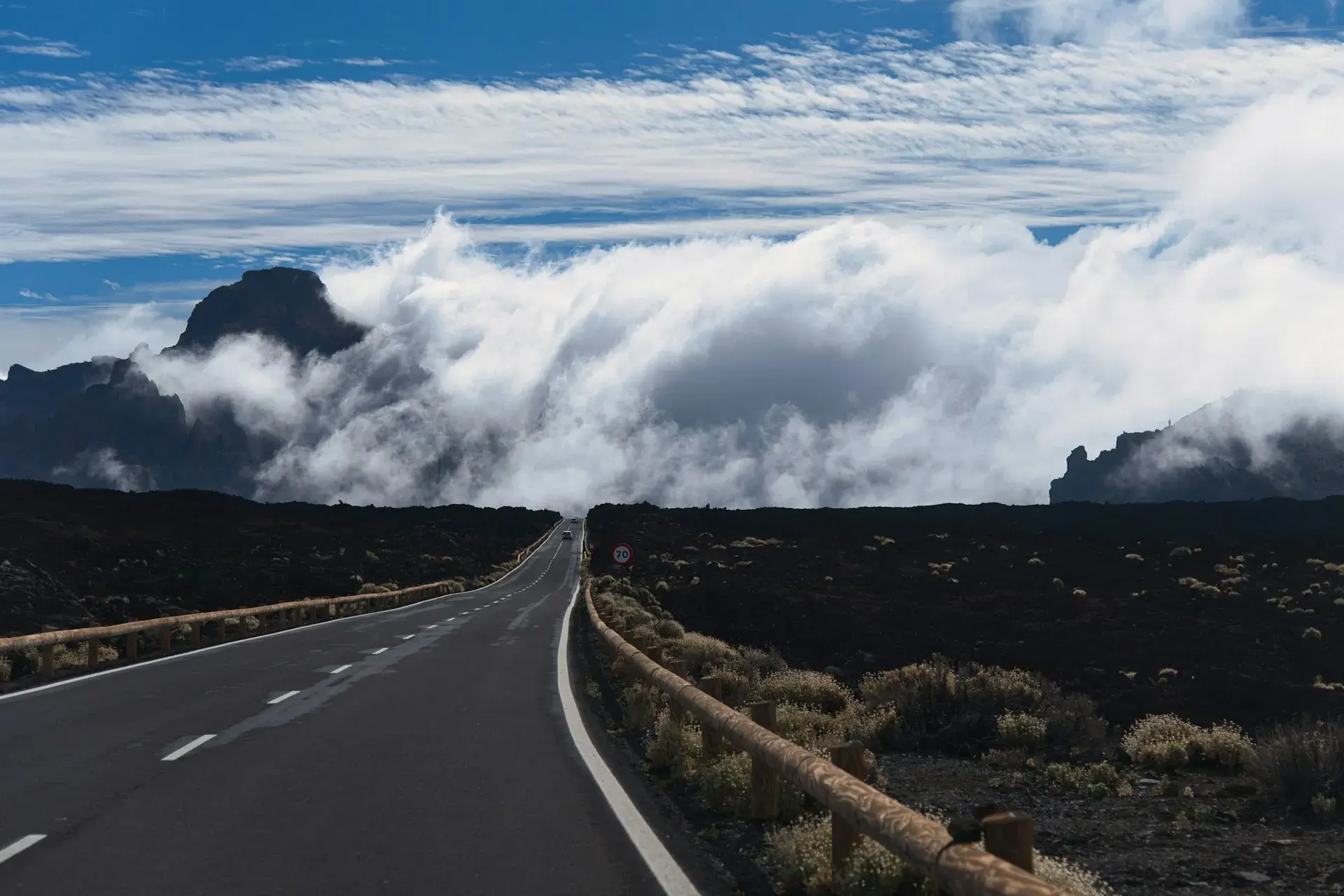
Photo by Kamil Molendys on Unsplash
Tenerife Road Trip: The Best Driving Routes on the Island
The best road trip in Tenerife is not one route but five: the crossing of Parque Nacional del Teide, with four roads in; the Anaga ridge on the TF-12 with the descent to Taganana; the Teno massif with Masca and Punta de Teno; the historic north from La Orotava to Buenavista; and the south-west coast from Adeje to Los Gigantes. The full loop of the island fits into one long day or, better, two.
Before you set off: what Tenerife's roads are like
Two motorways carry almost all the traffic: the TF-1, along the south and east coasts from Santa Cruz to Adeje and extended as an expressway towards Santiago del Teide, and the TF-5, from Santa Cruz to La Laguna, the Orotava Valley and Los Realejos, which continues as an ordinary road towards Icod. Both have fixed speed cameras, and the TF-5 regularly jams on the approach to La Laguna. Everything else is mountain road: well surfaced, narrow, full of hairpin bends and cyclists and, on the famous stretches, coaches.
Two warnings for 2026. The Cabildo (the island government) now regulates car access to the busiest spots (Masca during wildfire risk alerts, Punta de Teno while the TF-445 roadworks last, and Teide during special operations with shuttle guaguas, the local word for buses), and in winter ice closes the park roads without notice; each case is covered in its route below. Car hire, insurance and parking in town are covered in getting around Tenerife.
Driving around Tenerife: one day or two
Doing the full loop in one day is only possible if you accept hardly stopping at all. The logical ring leaves the south on the TF-1 to Santiago del Teide, crosses Teno on the TF-436 through Masca to Buenavista del Norte, follows the north coast on the TF-42 and TF-5 (Garachico, Icod, Puerto de la Cruz, La Orotava) to Santa Cruz and returns south on the TF-1 via Candelaria. Without detours that is roughly 200 to 250 km and four or five hours of pure driving; with the Masca stretch and a stop in each village, the day stretches to ten or twelve hours.
The two-day version is the one we recommend. Day one: the south-west, Masca, Garachico and Icod, with a night in Garachico, Icod or Puerto de la Cruz. Day two: La Orotava, La Laguna, Anaga on the TF-12 with the descent to Taganana and the return via San Andrés. That way you reach Masca first thing, before the coaches, and Anaga in the morning, when the fog on the ridge usually sits higher. With only one day, skip Anaga and Masca. With more time, the Tenerife in 5 days and Tenerife in 7 days itineraries spread these routes over several days.
Teide by its four roads in
You cross the park on the TF-21, which runs from La Orotava to Vilaflor via El Portillo and the cable car, and on two roads that join it: the TF-24, from La Esperanza along the island's central ridge, and the TF-38, from Chío in the west. The trick is to go up one way and come down another. The route published by Hola Islas Canarias, from La Laguna via La Esperanza to Vilaflor and the La Centinela viewpoint (San Miguel de Abona), adds up to 98.9 km and 2 hours 8 minutes of driving. Trails, the cable car and the summit permit are covered in the Teide National Park guide.
TF-24: the ridge road from La Esperanza
The most beautiful way up and the longest. From La Laguna it enters the pine forest at La Esperanza (the last village with a petrol station and restaurants), passes the Las Raíces and Las Lagunetas recreation areas and strings together the Ortuño and Chipeque viewpoints, with Teide rising above the sea of clouds over the Orotava Valley on trade-wind mornings. Higher up come the Izaña Observatory and the La Tarta viewpoint, with its layers of coloured ash, before the road drops to El Portillo. Hazards: thick fog in the pine forest, cyclists and ice on shady bends in winter.
TF-21 from La Orotava
The classic way in from the north: it leaves the old town of La Orotava, climbs through the midlands and the pine forest via Aguamansa and comes out at El Portillo, with the visitor centre and the junction with the TF-24. This is the road the Cabildo closes first when there is ice: in December 2024 it was cut between Aguamansa (km 16) and the cable car base station (km 43), and in March 2026 it closed again during Storm Regina. Fill up in La Orotava; after Aguamansa there is nothing.
TF-21 from Vilaflor
It starts in Vilaflor, the highest municipality in the Canary Islands (about 1,400 m), with a petrol station and the Pino Gordo on the way out. It tops out at Boca Tauce, the junction with the TF-38, and enters Las Cañadas across the Llano de Ucanca: Los Azulejos, the Roques de García, the Parador and the cable car base station, with free parking according to the official website. It is the quickest route from Costa Adeje and Los Cristianos and therefore the busiest: the Roques de García car park fills up before eleven.
TF-38 via Chío
The least known and emptiest way in. It climbs from Chío (Guía de Isora), which has a petrol station, through open pine forest and enters the park across the black lava flows of the Narices del Teide, from the 1798 eruption, with La Gomera and La Palma in view on clear days, up to Boca Tauce. Ideal if you are staying in Los Gigantes or Playa San Juan, and a great way down at sunset.
Practicalities inside the park
- Parking: free at El Portillo, Minas de San José, the cable car, the Roques de García and the TF-21 viewpoints; the last two fill up by mid-morning. Never on the hard shoulder of a bend.
- Hazards: ice and snow from December to March, fog on the northern approaches and very strong sun at 2,000 m.
- Closures: for ice and for events: on the nights of 12 and 13 August 2026, with the Perseids and the eclipse, the Cabildo closed the roads to private vehicles from 17:00 to 05:00 with shuttles from La Orotava, La Esperanza and Vilaflor, and it has announced access control with parking reservations for visitors and shuttles from 2027: check the conditions in force the day before.
- When: all year round; for snow, January and February once the road reopens. The viewpoints on the TF-21 and TF-24 are among the best viewpoints in Tenerife.
Anaga on the TF-12 with the descent to Taganana
The TF-12 leaves La Laguna via Las Canteras and follows the ridge of the Anaga Rural Park through laurel forest. The first stop is Cruz del Carmen, with a visitor centre, a car park and short trails; then the turn-off to the Pico del Inglés viewpoint, with Teide on one side and the Roques de Anaga on the other. The road stays narrow as far as El Bailadero, where you have to choose: drop to the north coast on the TF-134 towards Taganana, Roque de las Bodegas and Almáciga, or carry on to San Andrés and Las Teresitas beach.
The descent to Taganana is the highlight of the route: tight bends, the village clinging above the ravine and the coast of the sea stacks below. Benijo beach has been officially closed since July 2024 because of rockfalls, so your swimming stop is Almáciga or Roque de las Bodegas, both with fish restaurants. From Taganana you return to El Bailadero and drop down to San Andrés to close the loop on the TF-11 to Santa Cruz. The Hola Islas Canarias route through the north-east, from La Laguna to Candelaria via Anaga, comes to 66.3 km and 90 minutes without stops.
Hazards: fog on the ridge can cut visibility to a few metres, especially in the afternoon; on several stretches two cars can barely pass each other; there are hikers and cyclists on the road; and the Cruz del Carmen car park fills up at weekends. Go early and on a weekday. In 2026 the Cabildo is considering limiting access for large buses and hire cars to the massif, as in Masca: check before you go. Trails and villages are in the Anaga Rural Park guide.
Teno and Masca: TF-82, TF-436 and TF-445
The Teno massif fills the north-west corner of the island and is crossed by the TF-436, which links Santiago del Teide with Buenavista del Norte via Masca and El Palmar. From Santiago del Teide the road climbs to the Cruz de Hilda viewpoint and plunges towards the hamlet in a series of hairpins with single-lane stretches; then it climbs back over the pass and descends gently to Buenavista. It is one of the most spectacular stretches of road in the Canary Islands and the one with the most coaches between ten and four.
Since 30 July 2026 the Cabildo has been running checkpoints on the TF-436 (at Las Lagunetas and in Santiago del Teide) during wildfire risk alerts, between 09:00 and 16:00. During those hours visitors' vehicles, hire cars included, are turned back; residents, workers, public transport and authorised vehicles can pass. The alternative is TITSA bus 355 (Buenavista–Masca–Santiago del Teide), which is also compulsory for hiking down the gorge. When there is no alert, the road is open: drive it early, let locals pass at the passing places and take your photos from the Cruz de Hilda and Masca viewpoints, not from the road. The car park in the hamlet is small and paid.
Punta de Teno, the lighthouse at the island's western tip, is reached on the TF-445 from Buenavista, a road carved into the cliff with a risk of rockfalls. According to Buenavista Town Council, since 19 January 2026 and while the TF-445 roadworks last, with no announced end date, access by private car, on foot and by bicycle has been banned every day, and only TITSA bus 369 (from Buenavista bus station, €1 per journey, about 20 minutes), taxis and authorised vehicles can go through. Before the works there were already restrictions by day and time: check the current ones before you go. During weather alerts the road closes completely. Masca, Garachico and El Palmar feature in the prettiest villages in Tenerife.
The historic north on the TF-5 and TF-42
From Puerto de la Cruz to Teno Alto, the Hola Islas Canarias northern route adds up to 55.8 km and one hour twenty-four minutes of driving, with a maximum altitude of 750 m: the easiest route on this list and the one that links the most villages. Start in La Orotava, with its old town of mansions and wooden balconies, and drop down to the TF-5. After the San Vicente tunnel, in Los Realejos, the San Pedro viewpoint gives access to the palm grove of Rambla de Castro; in San Juan de la Rambla, Las Aguas is worth the detour, with the charco (natural rock pool) of La Laja and fish restaurants.
Icod de los Vinos is the stop for the Drago Milenario, the thousand-year-old dragon tree; from here the TF-42 continues through Garachico, with its historic centre, El Caletón and the old quay, and on through Los Silos to Buenavista del Norte, the gateway to Teno. Garachico has parking at the entrance to the old town and by the harbour, but it fills up early on Sundays; in Icod, the easiest option is around the Drago park. It is the ideal route for a cloudy day and the one that pairs best with lunch at a guachinche (a family-run eatery serving its own wine) in the midlands. From Buenavista you can drive up to Teno Alto, a plateau of goats and cheese with a bar at the end of the road.
The south-west coast: from Adeje to Los Gigantes
The Hola Islas Canarias south-west route runs from Costa Adeje to Masca in 48 km and one hour ten minutes. Leave the TF-1 at Armeñime and take the TF-47 coast road, one lane in each direction and heavy traffic, towards Playa San Juan, a fishing village with a promenade and a beach, and Alcalá, with rock pools and a local feel. Puerto de Santiago has La Arena beach, with black sand and waves on some days; in Los Gigantes the Archipenque viewpoint gives you the head-on view of the cliffs, and a narrow street leads down to Los Guíos beach, where parking is scarce.
From Los Gigantes the road climbs via Tamaimo to Santiago del Teide, where it joins the TF-82 towards Icod or the TF-436 towards Masca. Drive it in reverse at the end of the day: the descent to Los Gigantes with the sun setting over La Gomera is one of the best sunsets on the island from behind the wheel. Hazards: blind bends between Los Gigantes and Tamaimo, hotel traffic leaving Armeñime in the late afternoon and little parking in Los Gigantes in summer.
Which route to choose for the time you have
- Half a day: a single road into Teide, there and back via Vilaflor or via La Orotava, with a stop at the Roques de García.
- One day: the full crossing of Teide (up the TF-24, down the TF-21 or TF-38) or Anaga with the descent to Taganana.
- Two days: the island loop with a night in the north, which takes in Masca, Garachico and Anaga.
- Three days or more: one for Teide, one for Teno and the historic north, one for Anaga; the south-west fits into any afternoon from the south.
- If you dislike bends: the historic north and the south-west coast; Teide via Vilaflor and the TF-38 is the combination with the fewest hairpins.
Hazards and common mistakes
- Trusting the distance: in Masca, Anaga and on Teide, allow for an average of 30 km per hour and add your stops.
- Driving up Teide without filling up or carrying cash: there are no petrol stations or cash machines inside the national park; fill up in La Esperanza, La Orotava, Vilaflor or Chío.
- Ignoring the ice: from December to March check the Cabildo's road status; if the TF-21 is closed, see whether the TF-38 is still open.
- Fog: in Anaga and on the central ridge it comes down suddenly; dipped headlights and no overtaking.
- Stopping on the road for photos: on the TF-436 and in Las Cañadas, braking hard to take pictures is a common hazard. Use the viewpoints.
- Single-lane stretches: on the TF-445 and parts of the TF-436 the vehicle going uphill has priority, and the passing places are for passing, not for parking.
Car hire in brief
A small car is the best choice: it passes more easily on single-lane stretches and fits into the gaps in village car parks. Check the insurance excess (scrapes in Masca and in village car parks are the most common damage); automatics, airports and child seats are covered in getting around Tenerife.
Frequently asked questions
How long does it take to drive around Tenerife?
Without stops, four to five hours for a loop of roughly 200 to 250 km. With Masca, the northern villages and Anaga the day runs to more than ten hours, so it is better to split it over two days with a night in the north.
What is the most beautiful road in Tenerife?
It depends on the scenery: the TF-436 through Masca for its sheer drops, the TF-12 in Anaga for the laurel forest and the TF-24 along the ridge for the sea of clouds with Teide straight ahead. If you can only do one, crossing the national park on the TF-24 and TF-21 packs the greatest contrast into a single day.
Can I drive up Teide in a hire car?
Yes, except during closures for ice and during special shuttle operations, such as the one for the Perseids in August 2026. The Cabildo is preparing access control with parking reservations for visitors from 2027: check the conditions in force before you go up. Snow chains are not used: when there is ice, the roads are closed.
Can I drive to Masca and Punta de Teno in 2026?
To Masca yes, except when there is a wildfire risk alert: the Cabildo then closes the TF-436 to tourist traffic from 09:00 to 16:00 and the only option is bus 355. To Punta de Teno no, while the TF-445 roadworks last (nor on foot or by bike): you go up on bus 369 from Buenavista del Norte.
Keep planning
You may also like
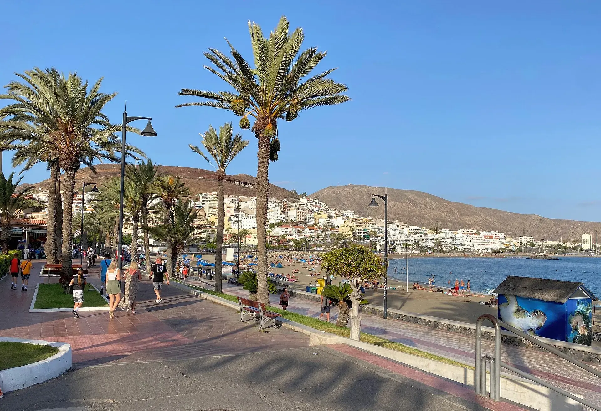
Accessible Tenerife: beaches, transport and step-free visits
Accessible Tenerife: beaches with assisted bathing and amphibious chairs, airport assistance, buses, tram and eurotaxi, and which visits work in a wheelchair.
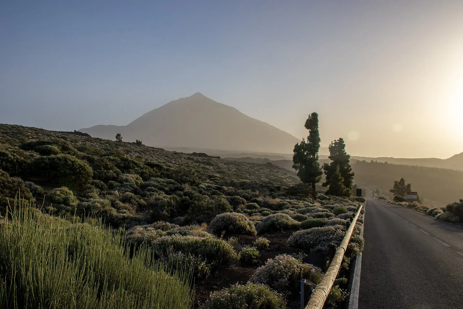
Calima in Tenerife: what it is, when it comes, how it affects you
Calima in Tenerife: what Saharan dust is, which months it tends to arrive, how it affects health and flights, where to check warnings and what to do that day.
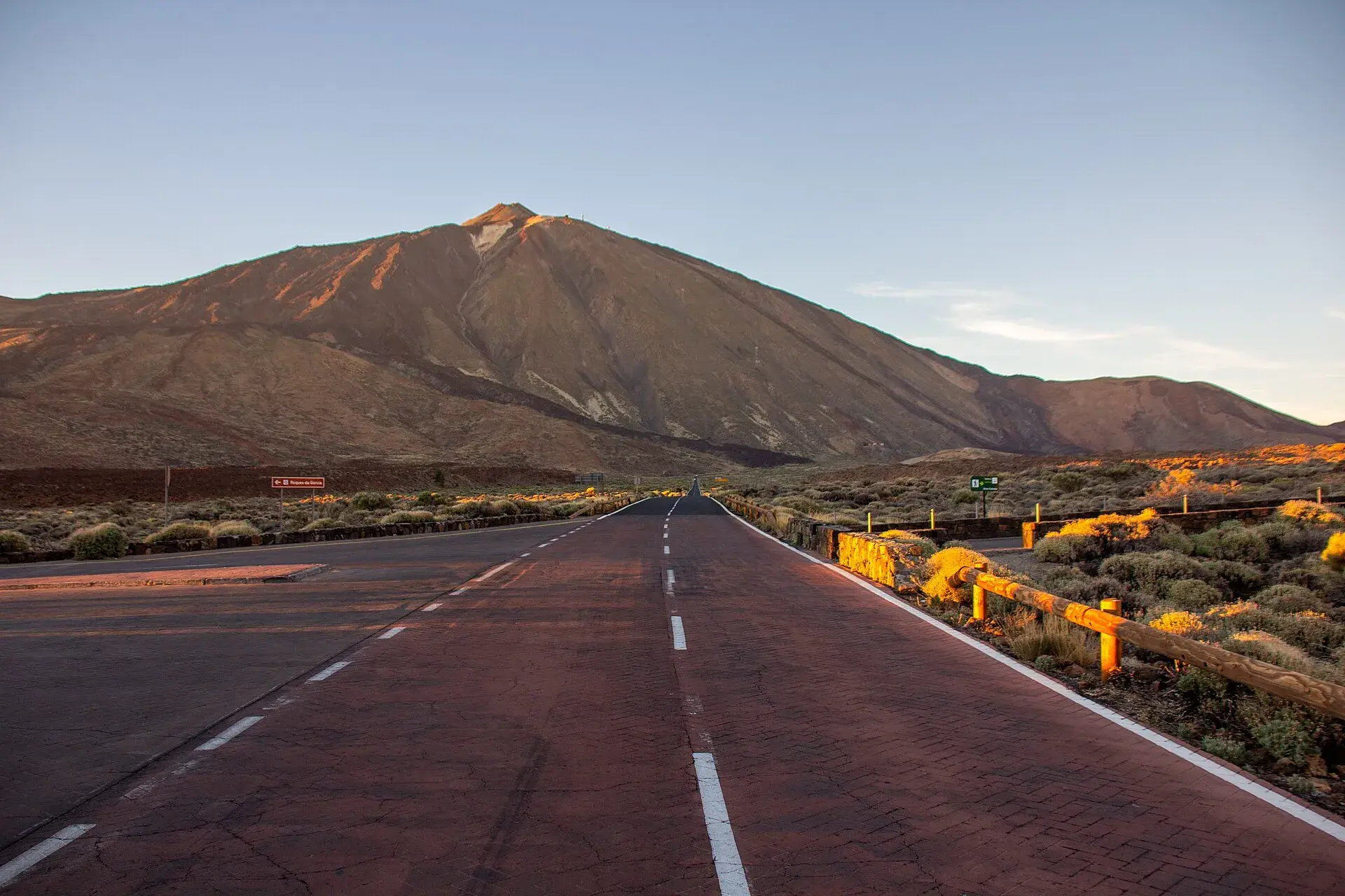
Car hire in Tenerife: insurance, deposit and useful tips
Car hire in Tenerife without surprises: when it pays off, insurance and excess, deposit, fuel, child seats, Masca, Teide and what to check at pick-up.
Digital nomads in Tenerife: visa, areas, housing and internet
Digital nomads in Tenerife: the remote work visa and 2026 requirements, EU citizen registration, the best areas to live, renting, healthcare and internet.