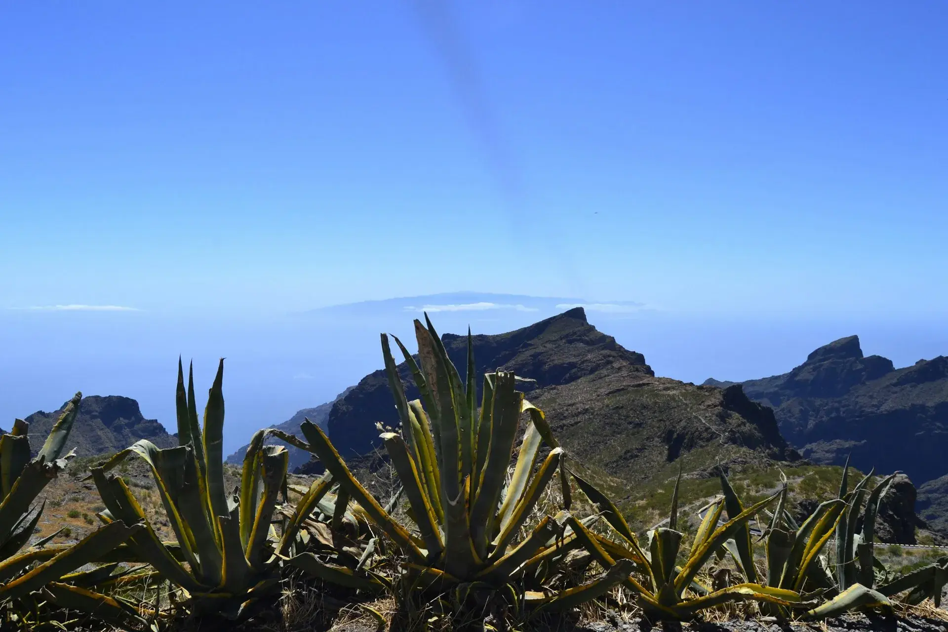
Photo by Andrea Junqueira on Unsplash
Best viewpoints in Tenerife: views worth pulling over for
The viewpoints in Tenerife worth stopping for fall into five areas: the Anaga massif (Cruz del Carmen, Pico del Inglés, Jardina, El Bailadero), the Dorsal road and Parque Nacional del Teide (Ortuño, Chipeque, La Tarta, Minas de San José, Roques de García, Llano de Ucanca), the north (Humboldt, La Garañona, San Pedro, Garachico), the west and Teno (Archipenque, Cherfe, Masca, Cruz de Hilda, Punta de Teno) and the south (Montaña Roja, La Centinela). Almost all are right by the road, with parking and free of charge. What changes is the time of day: on the Dorsal and in Anaga the show is the sea of clouds and the sunset; on the coast, the early-morning light.
How this selection was made
It includes signposted, publicly accessible viewpoints with somewhere to leave the car, based on the Tenerife Tourism fact sheets, the official viewpoint leaflet of Parque Nacional del Teide and information from the Cabildo (the island government) on Anaga and Teno. Road kilometre points are taken from those sheets; mountain roads change condition, so check the road before you set off.
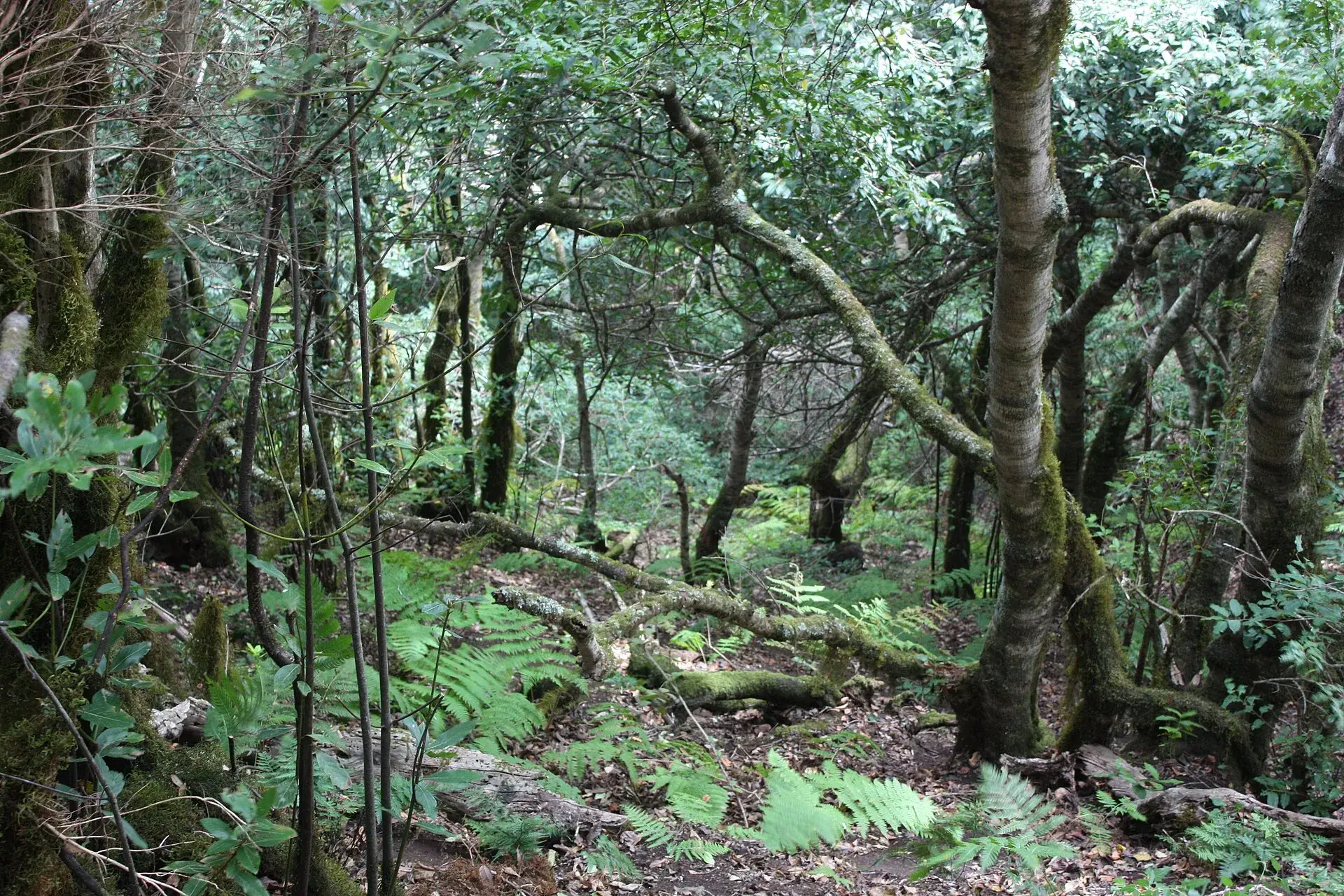
Anaga: laurel forest and two slopes
Parque Rural de Anaga has the most photogenic viewpoints less than half an hour from La Laguna, along the TF-12 (the Las Mercedes road), which is narrow and winding. The car parks are small and fill up by mid-morning at weekends.
Cruz del Carmen
What you see: the southern slope of Anaga, La Laguna and, on clear days, Mount Teide above the laurel forest. Access: TF-12, next to the park visitor centre, open daily 9:30–16:00 (until 15:00 in the summer months). Parking: yes, but it is the busiest in Anaga; arrive before 10:00 at weekends. Guagua: TITSA line 076 from La Laguna (guagua is the Canarian word for bus). Best time: morning; in the afternoon the mist closes in on the ridge. Accessibility: viewpoint and visitor centre accessible.
Pico del Inglés
What you see: the widest panorama of the massif: the Roques de Anaga, the Tahodio and Afur ravines, Santa Cruz, the Aguere valley and Mount Teide in the distance. Access: turn off the TF-12 onto the TF-114. Parking: small. Guagua: line 073. Best time: first thing, before the trade wind pushes the cloud up. Accessibility: no adapted access, according to the official fact sheet.
Jardina
What you see: a bird's-eye view of La Laguna with Mount Teide behind. Access: TF-12, km 25, at the entrance to the park. Parking: yes. Best time: sunset, as the city lights come on. Crowds: light. Accessibility: adapted.
El Bailadero
What you see: both slopes at once: Taganana and the north coast on one side, the ravine down to San Andrés on the other. Access: junction of the TF-12 and the TF-134, the road down to Taganana. Parking: at the roadside, scarce at weekends. Best time: morning. The PR-TF 04 trail descends from here to Taganana.
Amogoje
What you see: Taganana, the rock stacks and the beaches of Roque de las Bodegas and Almáciga. Access: TF-134, km 2. Parking: none; a brief stop on the hard shoulder. Guagua: the 946 (Santa Cruz–Taganana–Almáciga) stops in the area.
Cabezo del Tejo
You can only get here on foot, inside the El Pijaral Integral Nature Reserve, with a free prior permit from the Cabildo processed through Tenerife ON. The circular trail from La Ensillada is just over six kilometres long and of medium difficulty; the reward is Taganana and the north coast with nobody around.
The Dorsal and Parque Nacional del Teide
The TF-24 climbs from La Laguna along the crest of the Dorsal ridge to El Portillo and is the sea-of-clouds road: it runs above the layer that covers the north. Inside Parque Nacional del Teide the official leaflet lists twenty-three roadside viewpoints, nearly all accessible for people with reduced mobility, plus three at La Rambleta, reached by cable car.
Ortuño
What you see: Mount Teide above the pine forest, the north-west coast and, with luck, La Palma; on many mornings, a blanket of cloud over the valley. Access: TF-24, km 19, La Victoria de Acentejo. Parking: yes, plus a bus stop. Best time: mid-morning and sunset. Accessibility: adapted.
Chipeque
What you see: the Orotava Valley, the sea of clouds when it forms, Mount Teide, Teno and La Palma. It is the most photographed viewpoint on the Dorsal. Access: TF-24, km 26, Santa Úrsula. Parking: yes, but it fills up at summer sunsets. Guagua: no. Best time: late afternoon, with the sun setting over the cloud layer. Accessibility: adapted.
La Tarta
What you see: a bank of colourful volcanic layers that explains the name (tarta means cake) and, in the distance, La Palma; there are two platforms one after the other. Access: TF-24, km 31.8 and 31.9, already inside the park, near El Portillo. Parking: yes. Best time: afternoon, with the sun full on the strata.
Minas de San José
What you see: a former pumice quarry with two areas on either side of the road: to the north the Montaña Rajada lava flows, to the south the whole Las Cañadas caldera. Access: TF-21, km 38.5. Parking: yes, at both areas. Best time: any; its open horizon works at night too.
Roques de García (La Ruleta)
What you see: Roque Cinchado, the western wall of the caldera, the Llano de Ucanca and the Teide–Pico Viejo pair. Access: TF-21, km 46.5, opposite the Parador. Parking: large, but it is the most visited viewpoint in the park and runs out of spaces at midday. Guagua: lines 342 (Costa Adeje) and 348 (Puerto de la Cruz) stop at the Parador. Best time: first or last thing. Accessibility: accessible platforms.
Llano de Ucanca and Los Azulejos
What you see: the largest plain in the park, with the La Catedral rock rising 144 metres above it; at Los Azulejos, greenish and bluish rocks coloured by hydrothermal alteration. Access: TF-21, km 48.1 and 47. Parking: yes. Best time: morning, with side light on the caldera wall.
Boca Tauce, Narices del Teide and Sámara
If you arrive from the south, Boca Tauce (TF-21, km 53) is your first full view of Mount Teide and Pico Viejo. Continuing along the TF-38 towards Chío, Narices del Teide (km 3.2) looks out over the 1798 eruption, the last inside the park, and Sámara (km 7.5) shows a field of young cones almost bare of vegetation. They are quick roadside stops with parking and few people, and essential on a west-to-centre Tenerife road trip.
North: valleys, cliffs and villages
Humboldt (La Orotava)
What you see: the whole Orotava Valley, with its banana plantations, Puerto de la Cruz, Los Realejos and Mount Teide behind; the view Alexander von Humboldt described in 1799. Access: TF-21, km 1, on the way out of La Orotava towards Mount Teide. Parking: limited; in 2023 the Cabildo banned parking on the hard shoulders because of rockfalls. Best time: mid-afternoon. Accessibility: adapted.
La Garañona (El Sauzal)
What you see: from a landscaped park, the cliff of more than 200 metres above La Garañona beach, a black-sand strip with no practicable access. Access: El Sauzal village centre, minutes from the TF-5; street parking. Facilities: a café built into the rock. Best time: sunset and days with big waves. Casa del Vino is five minutes away.
San Pedro (Los Realejos)
What you see: the Rambla de Castro protected landscape: palm trees, banana plantations, the Castro family estate and the La Gordejuela water-pumping station. Access: TF-5, km 41, next to the San Pedro chapel. Parking: yes, plus a bus stop. Facilities: restaurant and café. Best time: morning; it is the end of the Rambla de Castro trail, about four easy kilometres. Accessibility: adapted.
Garachico and El Guincho
The Garachico viewpoint, on the TF-82 climbing towards El Tanque, gives the classic postcard of the town with the Roque offshore and the 1706 lava flow reaching the sea; it has a restaurant and parking. El Guincho, on the coast road out of town, shows the cliff and the new harbour, with parking, a bus stop and adapted access. Both fit into a day exploring the north of Tenerife.
West and Teno
Archipenque (Los Gigantes)
What you see: the full length of the Los Gigantes cliffs, the marina, La Gomera and the Punta de Teno lighthouse. Access: TF-454, km 6, at the entrance to Puerto de Santiago. Parking: yes. Best time: sunset, with the sun behind La Gomera. Accessibility: adapted.
Cherfe
What you see: the whole Masca ravine from the pass, with the hamlet below and La Gomera and La Palma on the horizon. Access: TF-436, at the high point between Santiago del Teide and Masca. Parking: small, at the roadside. Best time: morning; in the afternoon the sun is straight ahead.
Masca and Cruz de Hilda
In the hamlet of Masca there is a public viewpoint over the ravine with very few spaces. Further on, towards Buenavista, La Cruz de Hilda (TF-436, km 14) offers another angle with terraces and palm trees, and has parking, a bus stop, a café and adapted access. Hiking down the ravine is regulated: prior booking on the official website, a compulsory boat return and, since 2025, access to the hamlet on the 355 guagua from the car park at the Santiago del Teide cemetery.
Punta de Teno
What you see: the island's westernmost point: Los Gigantes in profile, the old stone lighthouse from 1897 and the new one from 1978, and La Gomera to the west. Access: TF-445 from Buenavista del Norte, a cliff road with a risk of rockfalls. It has been closed to private traffic at weekends and on public holidays for years, and since January 2026, because of roadworks on the TF-445, access by private car has been banned every day: you get in on the 369 guagua from Buenavista bus station (about twenty minutes, €1 per journey), by taxi or with a permit. Check the current rules with the town council. Best time: sunset.
South and east
Montaña Roja (El Médano)
What you see: from the top of the 171-metre cone, La Tejita, El Médano and the Granadilla coast. Access: TF-1, San Isidro–El Médano exit, then the TF-64 and TF-643 towards Los Abrigos. Parking: two car parks, at the El Tapao bend and next to La Tejita. Climb: half an hour to an hour on a marked trail inside a special nature reserve; stay on the path, because the wetland is home to the Kentish plover. Best time: sunrise, before the trade wind picks up.
La Centinela (San Miguel de Abona)
What you see: the south from San Miguel to Roque del Conde, with Montaña Roja, Montaña de Guaza and the Rasca badlands. Access: TF-28, km 85, on the boundary with Arona. Status: the building has been closed for years; in February 2026 the Cabildo awarded the contract to restore it with an archaeological interpretation centre. Check whether the esplanade is open before making the detour. It is the stop for anyone travelling through the south of Tenerife on the old road.
The sea of clouds and the trade winds: when and where to see it
The sea of clouds is a layer of stratocumulus that the trade winds, moisture-laden north-easterlies, form against the northern slopes. Above it sits drier, warmer air, separated by a temperature inversion that stops the cloud growing upwards: that is why the blanket is thin, flat and stable. Its height varies with the time of day and the season; when the trade wind is well established, especially between May and September, it usually sits between about 700 and 1,500 metres, leaving the Dorsal, the heights of Anaga and the whole national park above it.
To see it, head to a viewpoint on the northern slope above that level: Chipeque and Ortuño on the TF-24, La Tarta at El Portillo, Pico del Inglés and Cruz del Carmen in Anaga. If the cloud is above you, you will see nothing: check the cloud-base height on the AEMET website before you go up. The best light is in the late afternoon; with a southerly wind or calima (dust from Africa hanging in the air) the phenomenon disappears.
Driving the mountain roads
The roads on the Dorsal, in Anaga and in Teno are narrow, with no hard shoulder in many stretches and tight bends. The national park advises keeping your speed down, parking only in designated areas and not leaving valuables in the car. In winter the TF-21 and TF-24 can close because of snow or ice, and fog on the TF-12 cuts visibility within minutes. Fill up before you go up, because there are no petrol stations inside the park, and bring warm clothes: at 2,000 metres it can be fifteen degrees cooler than on the coast.
Which one to choose for what you want
- Sea of clouds at sunset: Chipeque, with Ortuño as a less crowded alternative.
- Mount Teide straight ahead without walking: Roques de García and Boca Tauce.
- Widest panorama: Pico del Inglés.
- With a wheelchair or pushchair: Cruz del Carmen, Jardina, Chipeque, Humboldt, San Pedro, Archipenque and Cruz de Hilda have adapted access according to Tenerife Tourism.
- Sunset over the sea: Archipenque and Punta de Teno.
- Night sky: any viewpoint in the national park, as explained in the guide to stargazing on Mount Teide.
- By guagua: Ortuño, Pico del Inglés, Cruz del Carmen, Amogoje, Roques de García, San Pedro and Cruz de Hilda.
Frequently asked questions
What is the best viewpoint for seeing Mount Teide?
To see it whole with the valley at its feet, Chipeque or Ortuño on the TF-24; to have it towering over you, Roques de García and Boca Tauce. Humboldt frames it with La Orotava and the banana plantations.
What time can you see the sea of clouds?
In summer the layer is usually there almost all day on the northern slope, but the best light is in the late afternoon. Make sure the cloud base is below the viewpoint: if Chipeque is in the fog, you will see nothing.
Can you drive to Punta de Teno?
Not in 2026: because of roadworks on the TF-445, you can only get in on the 369 guagua from Buenavista del Norte, by taxi or with a permit. Outside roadworks periods, the road is usually closed to private traffic at weekends and on public holidays.
Do you need a permit for any viewpoint?
Only for Cabezo del Tejo, inside the El Pijaral Integral Nature Reserve, with a free permit from the Cabildo. All the others are open access, and entry to the national park is free too.
Keep planning
You may also like
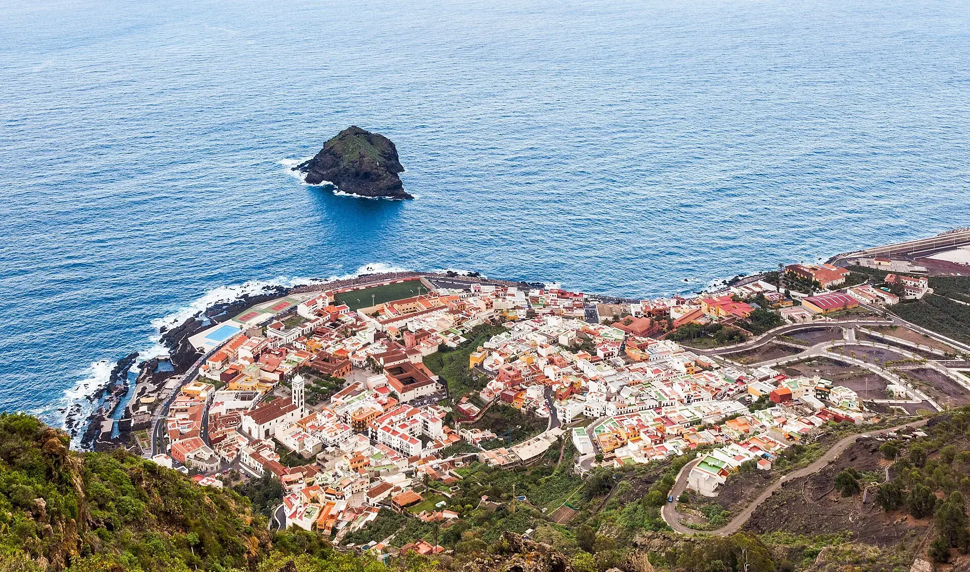
Garachico, Tenerife: old town, El Caletón and the Isla Baja
What to see in Garachico in half a day: the port buried by lava in 1706, the historic centre, El Caletón, the castle, San Roque, buses and where to park.
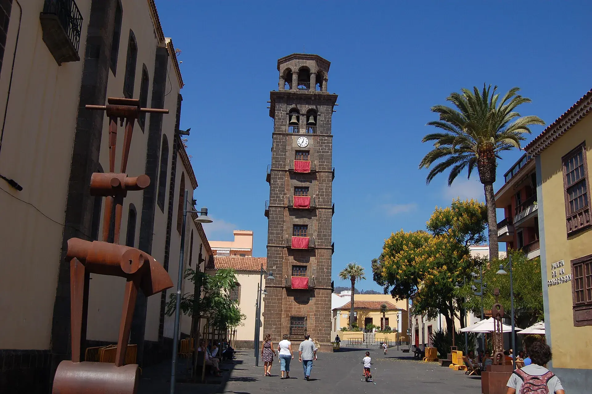
La Laguna, Tenerife: old town, museums and how to get there
What to see in La Laguna step by step: walking route through the World Heritage old town, cathedral, museums, tram, parking, festivals and a trip to Anaga.
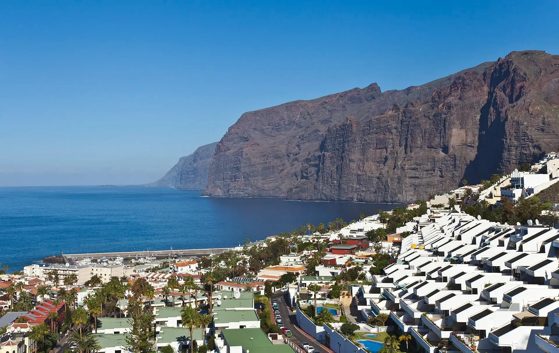
Los Gigantes Tenerife: cliffs, boat trips, beaches and access
Los Gigantes (Tenerife): cliffs up to 600 m, Archipenque viewpoint, boats from the marina, Los Guíos, rock pools, buses 473 and 477 and where to park.
Tenerife protected areas rules: trail quotas and drones
Rules for Tenerife's protected areas: trails that need booking, Teide, Masca and El Pijaral, drones, camping, wildfire alerts, dogs and fines in 2026.