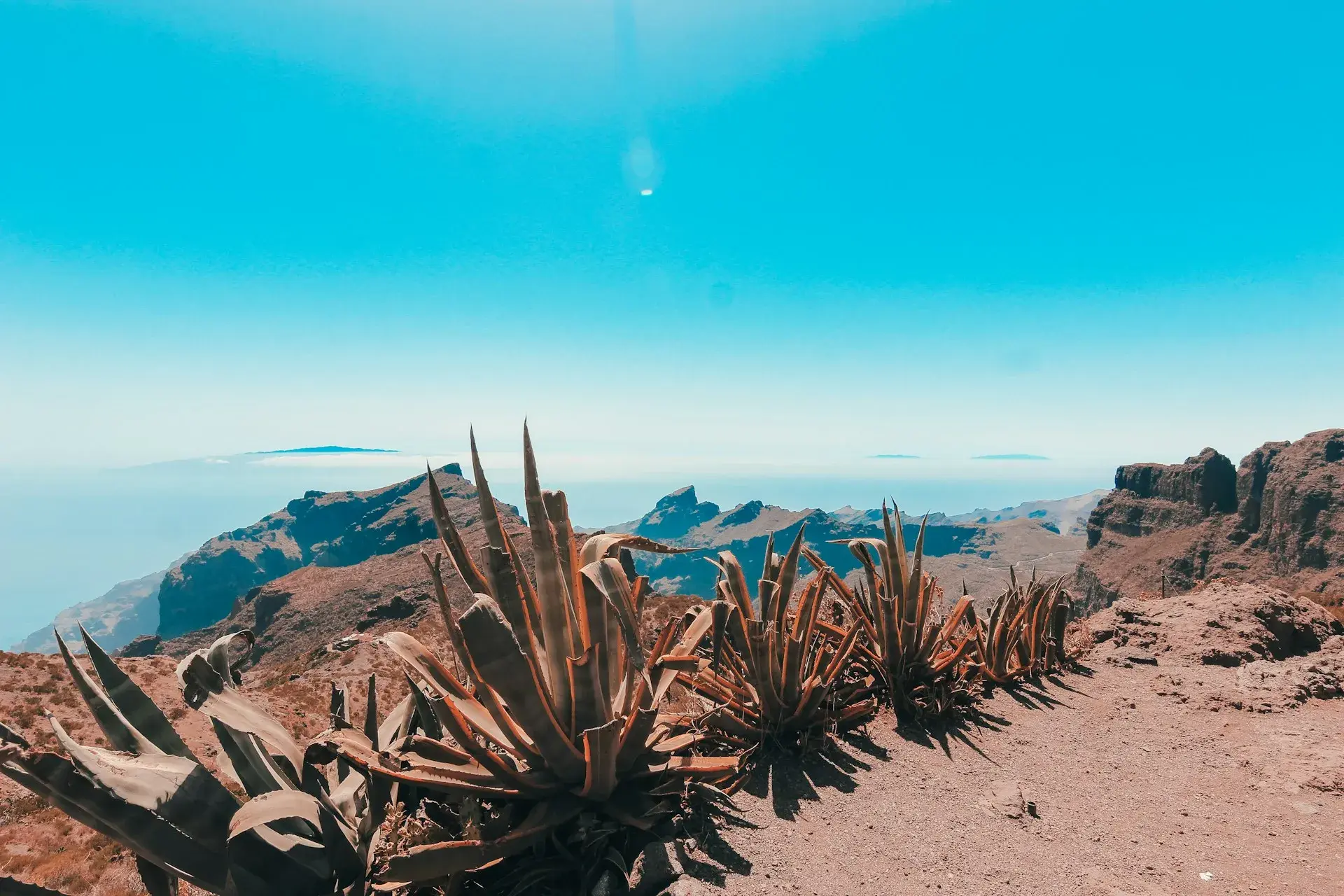
Photo by Miltiadis Fragkidis on Unsplash
Hidden Gems in Tenerife: Lesser-Known Places Worth the Detour
Tenerife's lesser-known places are not really hidden: they sit ten minutes from the motorway, just outside the organised excursions. This guide brings together the corners of Tenerife that are worth the detour, from the cave houses of Chinamada and the road-less beach of Antequera to the lava tube in Icod, the southern badlands and the tuff towers of the Paisaje Lunar, with the real access, parking, permits, time needed and warnings. Villages with historic centres and natural pools have their own guides and are only linked here.
How this selection was made
A place makes the list if it meets three conditions: public access confirmed by official sources (the Cabildo, Turismo de Tenerife or the body that manages each site), it lies outside the usual circuit, and it offers something you will not find elsewhere on the island. Quotas, opening hours and prices change: check them on the official website cited. The Drago Milenario appears only as a contrast.
Anaga: inhabited caves, a permit-only forest and a beach with no road
Chinamada and the trail to Punta del Hidalgo
What it is: a hamlet in Anaga at around 600 metres above sea level, made up of cave houses carved into the tuff and still lived in; the track did not reach it until 1992. Why go: it is the only place on the island where living in a cave is still everyday life, and the Aguaide viewpoint drops sheer to the coast at Punta del Hidalgo. Access: a surfaced track from Las Carboneras (TF-12 via Las Mercedes), or on foot along the PR-TF 10 from Cruz del Carmen; a handful of parking spaces at the end of the track. Time: an hour for the hamlet; the descent to Punta del Hidalgo is about 4.7 kilometres and two and a quarter hours according to Turismo de Tenerife, with a very steep zigzag at the end. Warnings: the caves are private homes. If you walk down to the coast, the guagua (the local word for bus) back from Punta del Hidalgo goes via La Laguna. The other trails are covered in the Anaga Rural Park guide.
El Pijaral and the Enchanted Forest
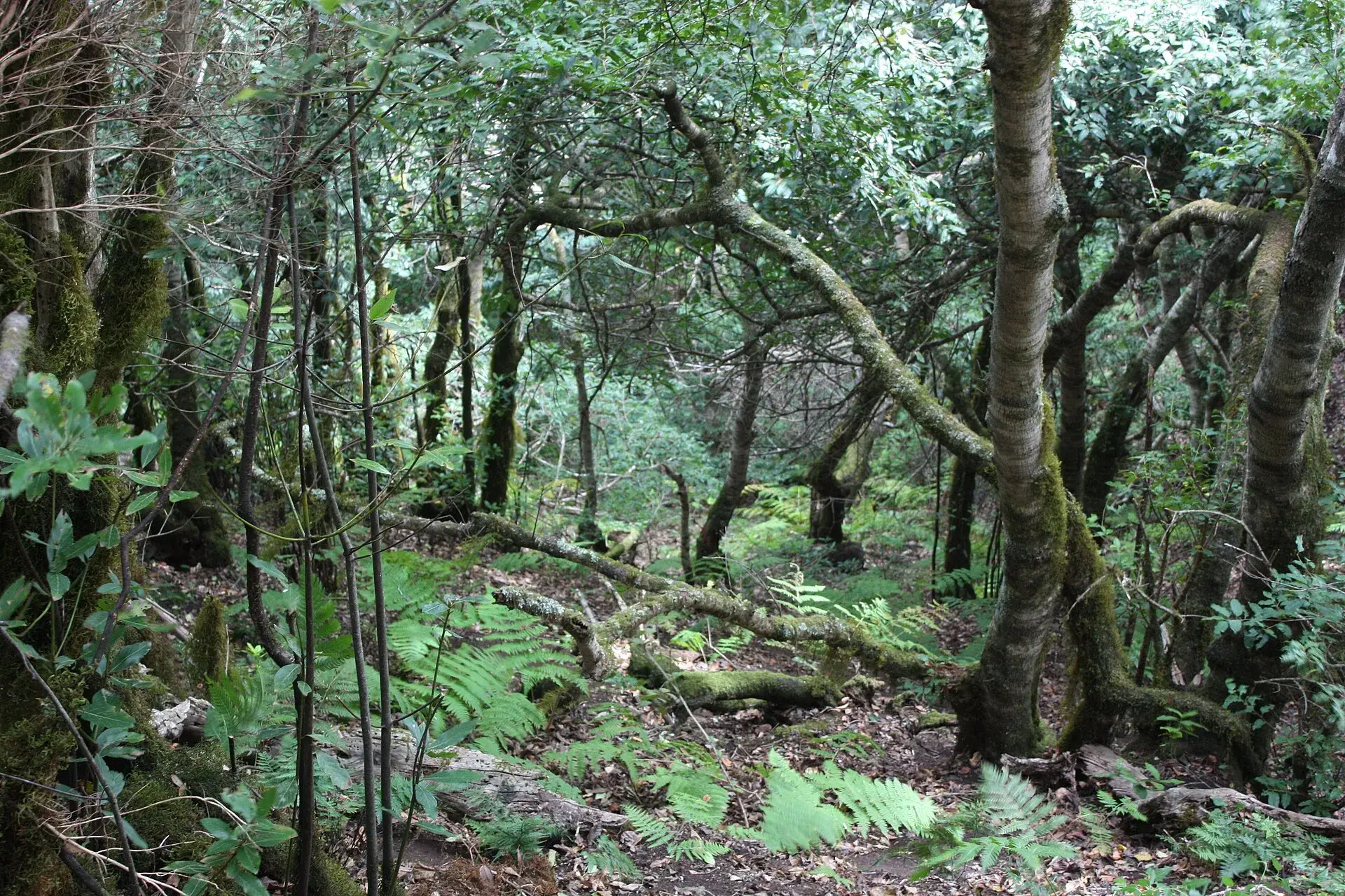
What it is: a 300.7-hectare Integral Nature Reserve with the Roque de Anambro and Roque de Chinobre and the best-preserved laurel forest (laurisilva) on the island, home to the laurel pigeon (rabiche) and Bolle's pigeon (turqué). Why go: the circular trail from La Ensillada to the Cabezo del Tejo viewpoint, just over six kilometres and of medium difficulty, runs through a forest of twisted, moss-covered trees. Permit: compulsory and free, with a small daily quota, requested in advance from the Cabildo through Tenerife ON; without it you cannot enter. Access: La Ensillada, on the TF-123 towards Chamorga from El Bailadero; small car park. Time: three hours. Warnings: very steep ground that turns slippery in rain or fog; wear shoes with good grip and carry water.
Playa de Antequera
What it is: a beach of around 400 metres of fine grey sand and pebbles on the southern coast of Anaga, with no road, facilities or shade: the only large beach in Tenerife that you can reach only on foot or by sea. Access: a trail from Igueste de San Andrés, rated hard by Turismo de Tenerife; you need to be fit and allow around three hours each way. The alternative is a boat from Santa Cruz or San Andrés. Parking: on the street in Igueste. Time: a full day. Warnings: go at low tide (at high tide the sand disappears), set off at dawn in summer and carry at least two litres of water per person.
Roque de las Bodegas
What it is: Taganana's main beach, black sand and pebbles, with fish restaurants right on the shore and fewer than fifty parking spaces. Why go: it is less well known than Almáciga and Benijo (officially closed since July 2024 because of rockfalls), the waves are gentler, and it is the best place to eat after a day in Anaga. Access: TF-134 from El Bailadero; guagua 946 from Santa Cruz stops at the beach. Warnings: strong currents; do not swim far from the shore.
The north: underground, on the cliffs and among the vineyards
Cueva del Viento (Icod de los Vinos)
What it is: a lava tube formed by flows from Pico Viejo, with 18.5 kilometres surveyed, the longest in Europe. Why go: the guided tour covers a stretch lit only by head torches, with lava formations and cave fauna found nowhere else on the island. Booking: guided tours only, bought in advance on the official website; there is no ticket office and only cards are accepted. The visitor centre is at calle Los Piquetes 51, open 9:00–16:00. Price: €25 for adults, €15 for Canary Islands residents, €8.50 for children aged 5 to 12 (€5 for resident children). Time: about two hours. Warnings: children under five are not admitted, nor are bags or rucksacks; the ticket includes a helmet and light. Wear closed shoes and bring a warm layer.
Rambla de Castro (Los Realejos)
What it is: a protected landscape of palm trees, banana plantations and cliffs between Playa de Los Roques and the Mirador de San Pedro, with the Castro family's estate and the old La Gordejuela water-pumping station, an industrial ruin perched above the sea. Why go: the most beautiful coastal walk in the north, almost unknown outside the island. Access: Mirador de San Pedro, TF-5, kilometre 41, with parking, a bus stop and a restaurant; a linear, easy trail of about four kilometres, an hour and a half to two hours. Warnings: in several stretches it runs along cliffs without railings; there is no safe swimming.
Charco del Viento (La Guancha)
What it is: natural lava pools on the coast of La Guancha, at the end of a road through banana plantations from the TF-5; one of the most open and least crowded charcos (the Canary Islands word for natural rock pools) in the north outside summer weekends. Parking: limited. Warnings: it closes when the sea is rough. Access and conditions for this and the other charcos are in the guide to natural pools in Tenerife.
La Garañona and the Casa del Vino (El Sauzal)
What it is: a viewpoint park with a café carved into the rock above a cliff more than 200 metres high and, five minutes away, the Casa del Vino, a 17th-century estate run by the Cabildo with a wine museum, a honey centre, a tasting room and a restaurant. Why go: the best view of the Acentejo coast and the best introduction to the island's wines; the museum is free and tastings are paid separately. Access: El Sauzal's centre from the TF-5; the Casa del Vino is at calle San Simón 49. Time: two hours. Warnings: do not try to walk down to La Garañona beach: the path is impassable. Check the Casa del Vino's opening hours on its website.
The Drago Milenario, as a contrast
The dragon tree in Icod has been a National Monument since 1917 and receives coach tours all day: it is worth seeing, but it is no hidden corner. The most impressive tree without the queues is the Pino Gordo in Vilaflor. The historic centres of the north are in the guide to the prettiest villages in Tenerife.
The centre: the pine forest of the Dorsal
Las Lagunetas (El Rosario)
What it is: a protected landscape of 3,800 hectares of pine forest and monteverde (laurel and heather woodland) on the crest of the Dorsal, beside the La Esperanza road (TF-24), with the Las Calderetas recreation area and short trails. Why go: this is the forest where Tenerife locals have their Sunday picnics, with fog drifting through the pines and temperatures ten degrees lower than on the coast. Access: TF-24, kilometre 16; Las Calderetas is reached from El Ravelo via calle Lomo Piedras. The dirt tracks from La Matanza, La Victoria and Santa Úrsula require a 4x4. Parking: very limited; no public bus. Trails: SL-TF 299 El Centeno and SL-TF 294 Los Brezos (circular, 8.5 kilometres, medium difficulty). Warnings: sections affected by the 2023 wildfire may still be closed; check on Tenerife ON. During fire alerts barbecues are banned.
The south and east: badlands, volcanic cones and a lunar landscape
Paisaje Lunar (Vilaflor)
What it is: towers and cones of white tuff sculpted by erosion above Vilaflor, inside the Corona Forestal Natural Park: the strangest geological formation on the island outside the national park, reachable only on foot among monumental Canary Island pines. Access: the PR-TF 72 starts from the square of the church of San Pedro in Vilaflor, at around 1,400 metres: a circular route of roughly 13 kilometres with about 780 metres of ascent, around four hours according to the official route sheet and longer with stops. There is a shorter approach via the Madre del Agua track from the TF-21, not suitable for ordinary cars. Parking: on the streets of Vilaflor's old centre. Time: half a day. Warnings: there is no water anywhere on the route (carry a litre and a half per person); cold in winter and sun without shade in summer. The Paisaje Lunar is fenced off: you view it from the trail's lookout point.
Malpaís de Güímar and Montaña Grande
What it is: a Special Nature Reserve of around 290 hectares of lava flows (a malpaís, or volcanic badland) running from Montaña Grande, a 276-metre cone, down to the sea next to the Puertito de Güímar. Why go: lava, tabaibas and cardón spurges about 25 minutes from Santa Cruz, and almost nobody walks it. Access: from the Puertito, along the Samarines path to the foot of Montaña Grande, or along the coast on the SL-TF 901 Camino de la Mar, about four kilometres between El Socorro and the Puertito; Tenerife ON has waymarked new routes. Parking: in the Puertito. Time: two to three hours. Warnings: no shade or water; avoid midday in summer and stay on the marked trails.
Montaña Pelada (Granadilla de Abona)
What it is: a 152.7-hectare Natural Monument: a cone formed by an underwater eruption, with a crater almost a kilometre across, dunes and a fossil dune that records changes in sea level. Why go: it lies between El Médano and Los Abrigos and hardly anyone sets foot on it; from the crater rim you can see the whole Granadilla coast. Access: TF-1, San Isidro exit, TF-64 to El Médano, avenida Juan Carlos I towards La Jaquita and El Cabezo, park at the end and cross the Barranco de La Barca on foot. The tracks through the industrial estate are in poor condition and the Cabildo advises against them without a 4x4. Time: an hour and a half. Warnings: constant wind and no shade; do not go down into the crater off the trail.
Montaña Amarilla (Costa del Silencio)
What it is: a 27.8-hectare Natural Monument in San Miguel de Abona: an underwater cone of yellow tuff cut away by the sea, with a shifting dune and rock platforms that the tide covers and uncovers. Why go: the colour of the cliff at sunrise and the tide pools, in a tourist area where nobody expects a protected site. Access: TF-652 towards Costa del Silencio, turn left about 800 metres after kilometre 5 and continue to the end; or on foot along the coastal path from the resort, an hour and a half there and back. Parking: small, at the end of the road. Warnings: the rock is soft and crumbles; keep away from the edge.
Barranco del Infierno (Adeje)
What it is: a Special Nature Reserve with the only permanent watercourse in the south, ending in a waterfall above Adeje's old town. Why go: greenery and water in the middle of the dry south, on an easy trail of 6.5 kilometres there and back, with about 250 metres of ascent and around three hours. Permit and price: online booking on the operator's website is compulsory, with an assigned time slot; €16 for non-resident adults and €6 for Canary Islands residents; the daily quota sells out days or weeks in advance in high season. Opening hours: entry in the morning only (until 10:30 from 1 June to 15 September and until 11:30 the rest of the year), closing in the early afternoon. Access: the trail starts at the Molino Viejo, at the top of Adeje's old town; small car park, so arrive early. Warnings: a helmet is compulsory (handed out at the meeting point), closed shoes, minimum age five and under-16s must be accompanied; no animals allowed. The full route sheet is in the best hikes in Tenerife.
Pirámides de Güímar
What it is: an ethnographic park with six stepped structures of volcanic stone that Thor Heyerdahl studied in the 1990s, with a museum, themed gardens and the exhibition An Ocean of Plastic. Why go: whatever you make of the debate about their origin, it is a well-organised, well-explained visit with indoor sections, ideal when the weather is poor. Opening hours: daily 10:00–18:00, except 1 January and 25 December. Price: basic ticket €12.50, full ticket €18, with audio guide €26; guided tour €22.50. Access: calle Chacona, Güímar, 25 minutes from Santa Cruz on the TF-1. Time: one to two and a half hours depending on the ticket.
The Arico pine forest and El Contador
What it is: the great pine forest of the south-east, in the Corona Forestal, with the El Contador recreation area as the hub of its trail network. Why go: the quiet side of the summit, with no excursion traffic and deep ravines such as the Barranco de Tamadaya. Access: a surfaced track climbing from Villa de Arico (TF-28). On foot, the PR-TF 86.2 climbs from Arico el Nuevo to El Contador: 10.7 kilometres, five hours, high difficulty and 1,215 metres of ascent. Parking: at the recreation area. Warnings: during fire alerts the recreation areas close; check with the Cabildo.
The west: the lighthouse cape
Punta de Teno
What it is: the westernmost tip of the island, with a stone lighthouse from 1897 and another from 1978, a small cove and the cliffs of Los Gigantes in profile: the only point on the coast from which you can see them along their full length, with one of the island's best sunsets facing La Gomera. Access and restrictions: the TF-445 from Buenavista del Norte is a cliff road at risk of rockfalls. It used to close to private traffic at weekends and on public holidays and, since January 2026, because of roadworks on the TF-445, access by private vehicle, on foot and by bike has been banned every day: only guagua 369 from the Buenavista bus station (about twenty minutes, €1 per journey), taxis and authorised vehicles can get in. Check the current rules with the Ayuntamiento (town council). Warnings: open sea with currents; swim in the cove only when the sea is calm. The island's other lookouts are in the best viewpoints in Tenerife.
How to plan your visit
- Permit or advance booking required: El Pijaral (free, Tenerife ON), Cueva del Viento (official website) and Barranco del Infierno (operator's website). Without a booking you cannot get in.
- Low tide only: Antequera, Montaña Amarilla and the charcos of the north.
- On foot only: Chinamada from Cruz del Carmen, Antequera, Paisaje Lunar and Cabezo del Tejo. There are no water fountains.
- For days of calima (Saharan dust haze) or rain: Cueva del Viento, Pirámides de Güímar and the Casa del Vino.
- By area: Anaga (Chinamada, El Pijaral, Roque de las Bodegas) fits into one day; the north (Cueva del Viento, Rambla de Castro, El Sauzal) into another; the south (Paisaje Lunar, Montaña Pelada, Montaña Amarilla, Barranco del Infierno) needs two.
Frequently asked questions
Which places in Tenerife do tourists not know about?
The ones without a big car park or a coach stop: Chinamada, the Malpaís de Güímar, Montaña Pelada, Las Lagunetas, Playa de Antequera and the Arico pine forest. They are no secret to Tenerife locals, but they do not feature on the coach routes.
Which spots need a permit?
El Pijaral (a free Cabildo permit with a daily quota), the Barranco del Infierno (paid entry with a booking and time slot) and the Cueva del Viento (guided tour bought in advance).
Can you drive to Playa de Antequera?
No. You get there on foot from Igueste de San Andrés along a demanding trail of about three hours each way, or by boat from Santa Cruz or San Andrés. Go at low tide and take plenty of water.
What is the best lesser-known place to visit with children?
The Pirámides de Güímar, for the well-organised route and the shade, and the Malpaís de Güímar along the coast, with short, flat stretches. Rambla de Castro works if the children are already confident walkers, because the cliffs have no railings.
Do you need a car?
For most of them, yes. By guagua you can reach Roque de las Bodegas (946), Icod for the Cueva del Viento (363 and lines from Santa Cruz), Candelaria and Güímar (120 and 122) and Punta de Teno (369 from Buenavista). Chinamada, Las Lagunetas, Montaña Pelada and the Arico pine forest require a car or a long walk.
Keep planning
You may also like
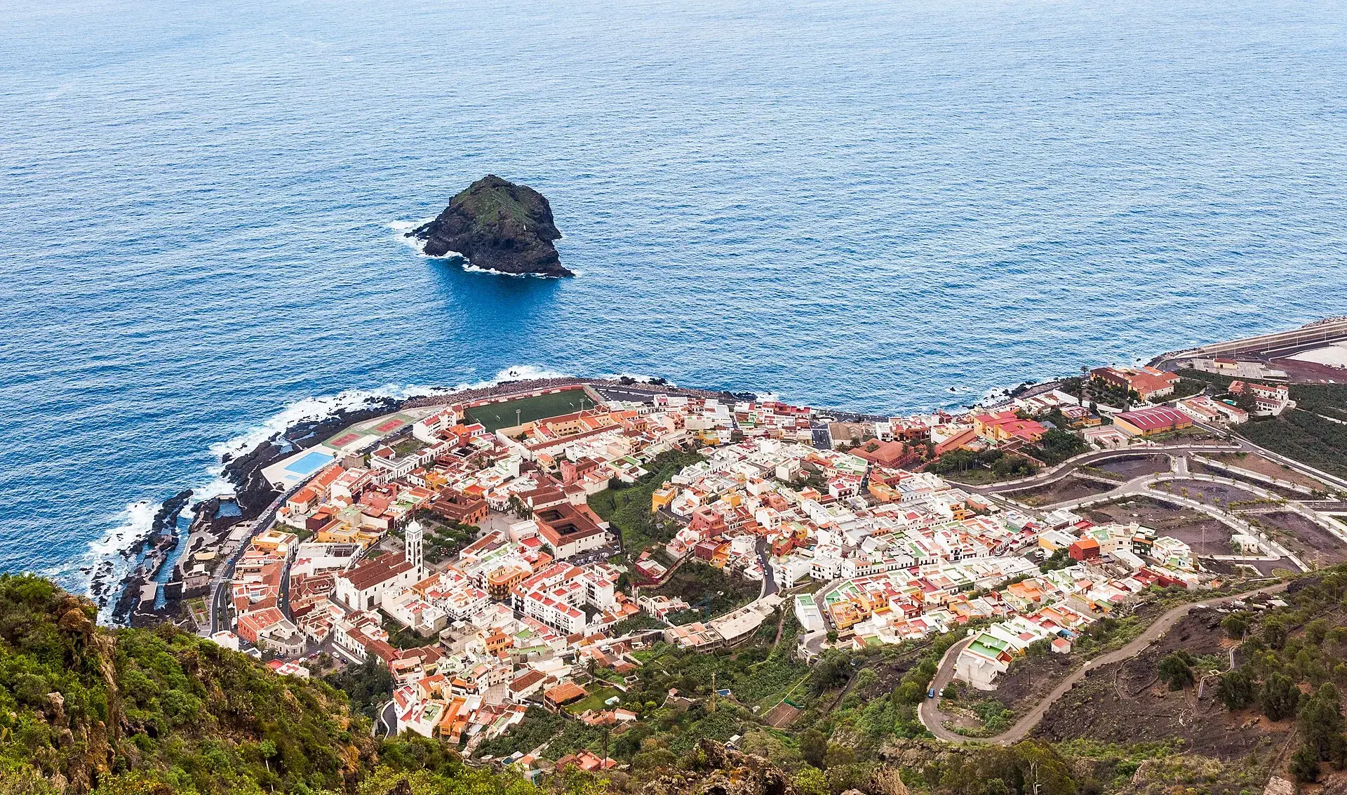
Garachico, Tenerife: old town, El Caletón and the Isla Baja
What to see in Garachico in half a day: the port buried by lava in 1706, the historic centre, El Caletón, the castle, San Roque, buses and where to park.
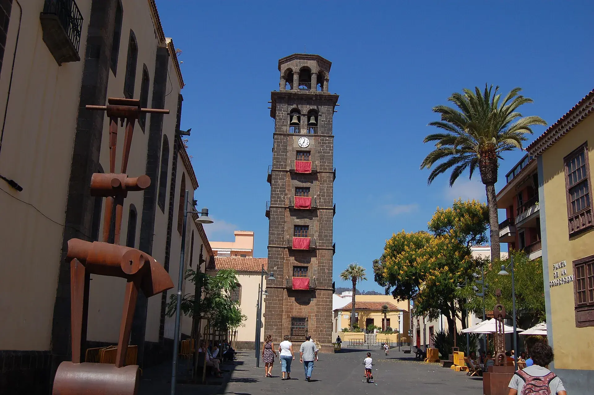
La Laguna, Tenerife: old town, museums and how to get there
What to see in La Laguna step by step: walking route through the World Heritage old town, cathedral, museums, tram, parking, festivals and a trip to Anaga.
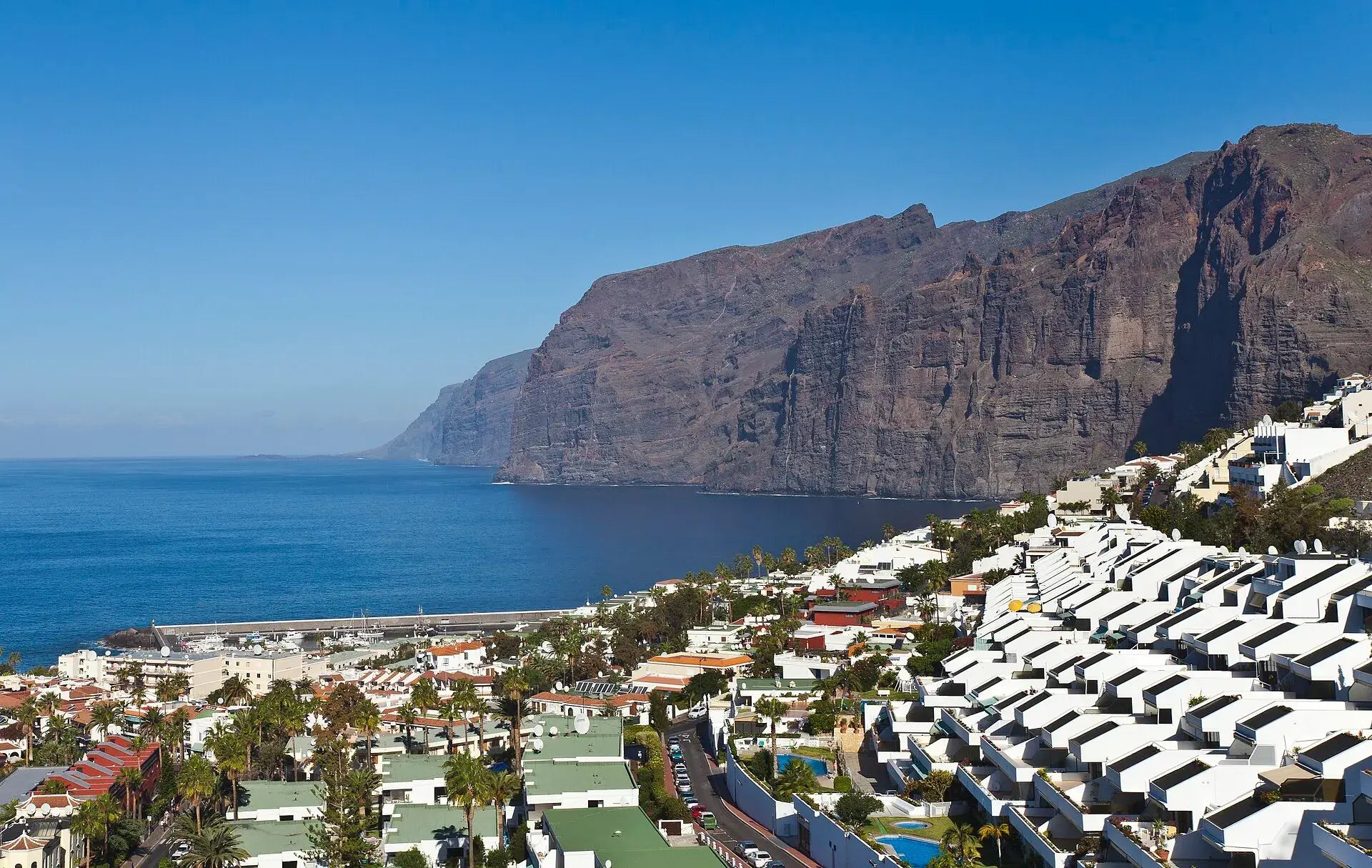
Los Gigantes Tenerife: cliffs, boat trips, beaches and access
Los Gigantes (Tenerife): cliffs up to 600 m, Archipenque viewpoint, boats from the marina, Los Guíos, rock pools, buses 473 and 477 and where to park.
Tenerife protected areas rules: trail quotas and drones
Rules for Tenerife's protected areas: trails that need booking, Teide, Masca and El Pijaral, drones, camping, wildfire alerts, dogs and fines in 2026.