Diego Hernández beach, Tenerife: how to walk there and tips
Diego Hernández beach is a small cove of natural golden sand on the unspoilt Adeje coast, between La Caleta and El Puertito, that you can only reach on foot: about fifteen or twenty minutes along an earth path from the Costa Adeje golf course area, or around half an hour along the coastal path from La Caleta. There are no sunbeds, no beach bar and no lifeguards, and at high tide the sand almost disappears. In return you get turquoise water, few people and a landscape without buildings ten minutes from the hotels. It is the southern beach for anyone who wants peace and does not mind walking in the sun; it is not for families with small children or for spending the day unprepared.
At a glance
- Area and municipality: the Adeje coast, between La Caleta and El Puertito, north of Costa Adeje.
- Sand: natural, golden.
- Approximate length: in the order of 80 metres, with a width that depends on the tide.
- Waves and wind: generally calm water, but with no breakwaters and no lifeguards: swim with caution.
- Lifeguards: none.
- Facilities: none; bring water, food and shade.
- Blue Flag 2026: no.
- Accessibility: not accessible; the path has stretches of loose stone and slopes.
- Parking: you cannot drive there; park on the streets of the Costa Adeje golf course area or in La Caleta.
- TITSA bus: there is no guagua (the local word for bus) stop by the beach; head for Costa Adeje or La Caleta and walk from there. Check the line on the TITSA website.
- Best for: peace and quiet, naturism, swimming in clear water and anyone combining beach and walk.
- Drawbacks: a walk with no shade on the way there and uphill on the way back, no facilities at all and little sand at high tide.
How to get there
There are two routes, and both are on foot.
From the Costa Adeje golf course area
This is the shorter one. The path starts in the Golf Costa Adeje complex area, next to a raised walkway, and descends a slope of earth and stone to the cove in about fifteen or twenty minutes. Park on the streets of the development, following the signs. The return is uphill and in the sun: save water for it.
From La Caleta along the coast
From the village of La Caleta a coastal path climbs onto the plateau above the cliffs, drops down to the pebble cove of Los Morteros, climbs again and descends once more to Diego Hernández, in around half an hour. It is longer but prettier, and lets you finish the day eating fish in La Caleta. There are rocky, steep stretches: wear closed shoes, not flip-flops.
The sea, the tides and safety
The cove usually has a calm sea, with water of a turquoise that is unusual in Tenerife. But there are no lifeguards, no breakwaters and nobody nearby to ask for help, and the official Canary Islands Tourism listing advises caution when swimming. Do not swim when there is a swell, do not swim alone far from the shore and, if you bring older children, keep them in sight.
The tide is in charge: at low tide there is a comfortable strip of sand, and at high tide very little remains. Check the tide table before you set off and choose the hours around low water. Head back before dark: the path is not lit.
Bring everything you will need and take your rubbish back with you. Do not remove stones or build piles with them, and do not feed the animals.
Naturism
Naturism is traditional at Diego Hernández, as at the end of La Tejita closest to Montaña Roja, and the official listing records it. People in swimwear come too, and both coexist without problems. If you would rather avoid it, bear in mind that it is the custom of the cove.
What is nearby
La Caleta, the starting point of the coastal path, is a former fishing village with fish restaurants facing the sea and the dark-sand beach of La Enramada next to it. To the south the Costa Adeje promenade begins with Playa del Duque, its opposite: imported sand, every facility and a Blue Flag. From Puerto Colón, further south, whale and dolphin watching trips set out. For more coves and less-visited places on the island, the guide to hidden gems in Tenerife is the next step, and the guide to what to see in south Tenerife places La Caleta in an itinerary.
Best time of day and year
The best time is early morning, for the sun and for the tide if it coincides with low water: you walk while it is cool and the cove is empty. At midday the walk is hard without shade. The afternoon brings good light and a sunset over the sea, but plan to walk back in daylight.
You can go all year: south Tenerife has sun and mild temperatures in winter, which is when the walk is most pleasant. In summer, set off very early and with twice as much water. The guide to the best time to visit Tenerife covers the weather by month.
Frequently asked questions
Can you drive to Diego Hernández?
No. You can only get there on foot, on the path from the Costa Adeje golf course area (about 15–20 minutes) or on the coastal path from La Caleta (around half an hour).
Is it a nudist beach?
Naturism is traditional in the cove and the official listing records it, although many people in swimwear come too. Both coexist.
Does it have any facilities?
No: no sunbeds, no bar, no toilets and no lifeguards. Bring water, food, sun protection and some shade, and take your rubbish home.
Is it suitable for children?
Not for small children: the walk is demanding in the heat, there is no shade or facilities and the beach is unsupervised. With older children used to walking, it can be a good outing at low tide.
When is there more sand?
At low tide. At high tide the cove shrinks to a narrow strip, so check the tide table before you go.
Keep planning
- The best beaches in south Tenerife: the cove in the context of Costa Adeje.
- The best beaches in Tenerife: other beaches to get away from the crowds.
- Hidden gems in Tenerife: places off the usual circuit.
You may also like
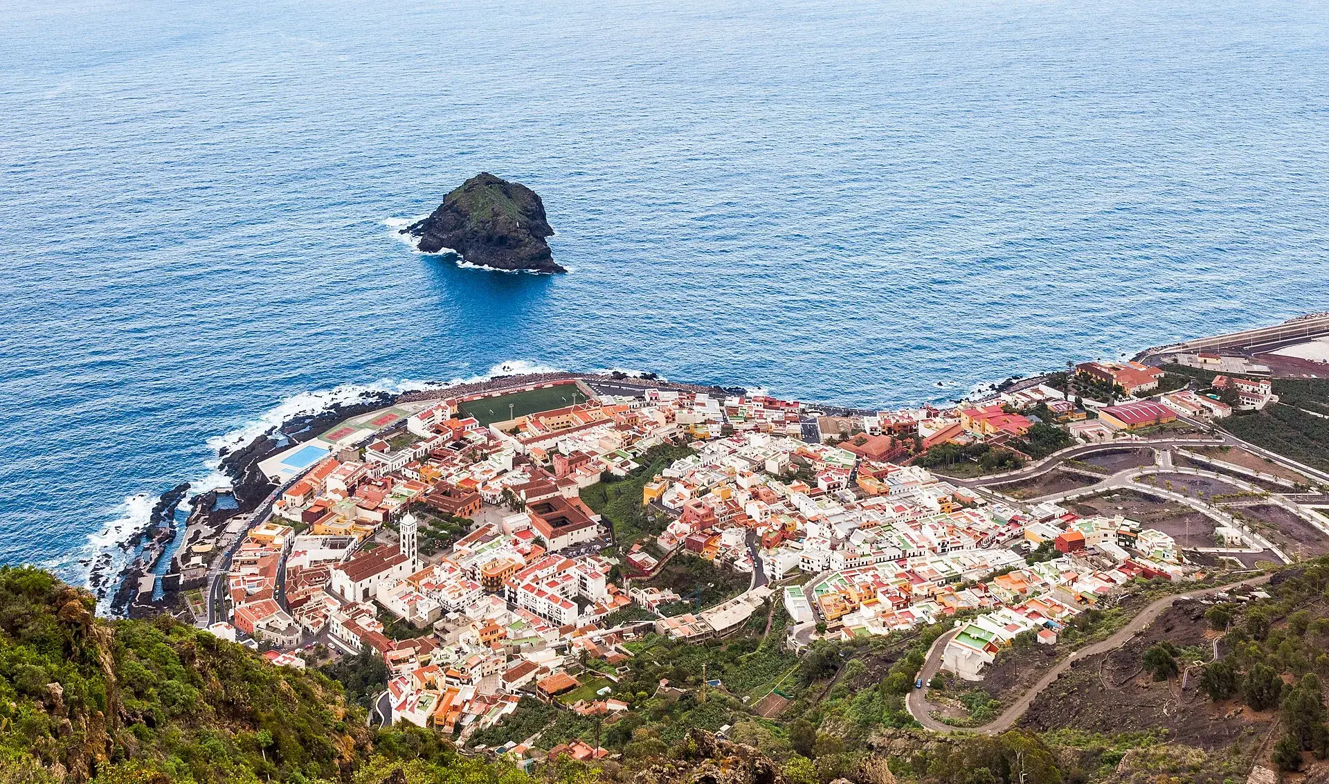
Garachico, Tenerife: old town, El Caletón and the Isla Baja
What to see in Garachico in half a day: the port buried by lava in 1706, the historic centre, El Caletón, the castle, San Roque, buses and where to park.
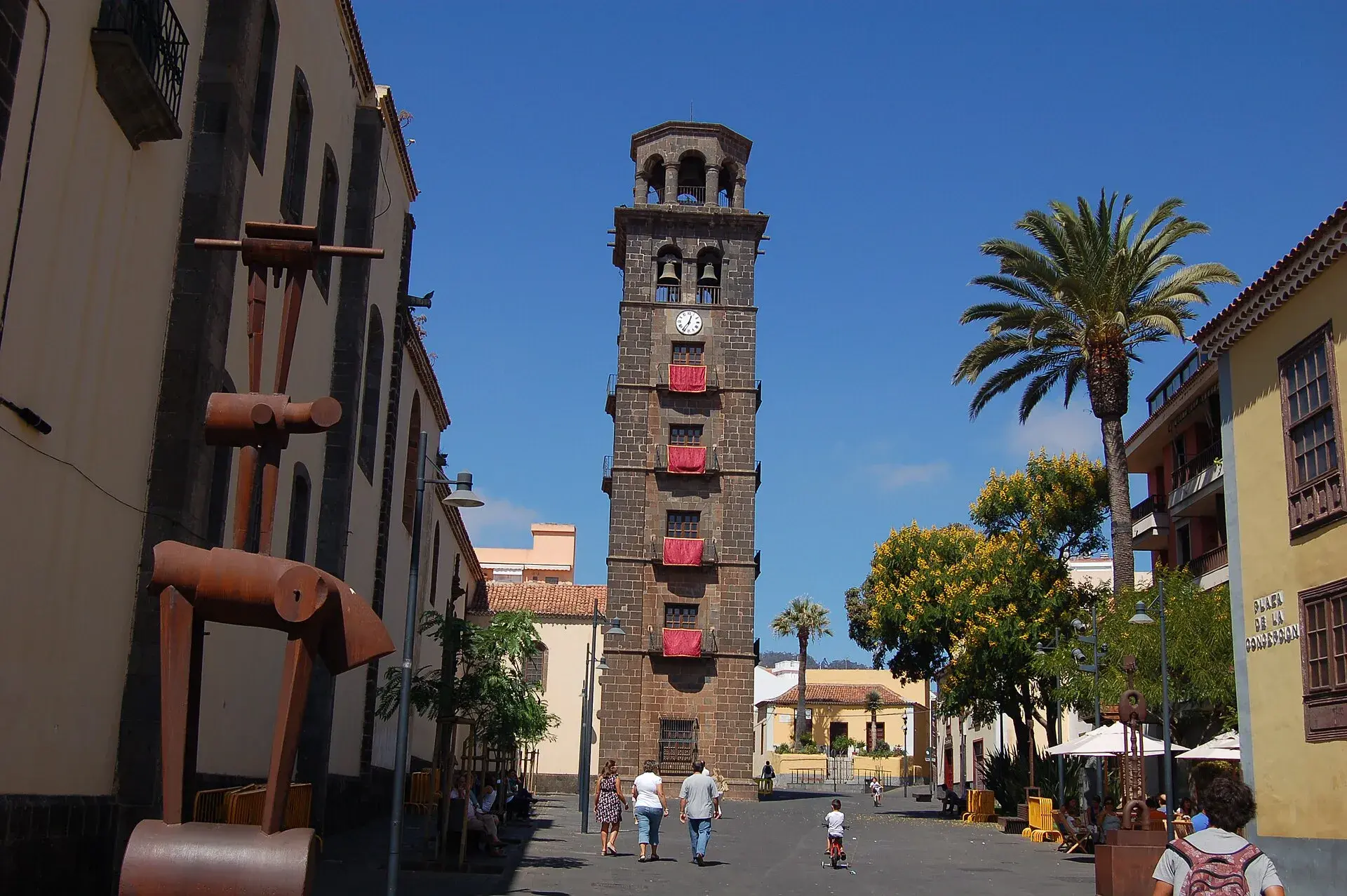
La Laguna, Tenerife: old town, museums and how to get there
What to see in La Laguna step by step: walking route through the World Heritage old town, cathedral, museums, tram, parking, festivals and a trip to Anaga.
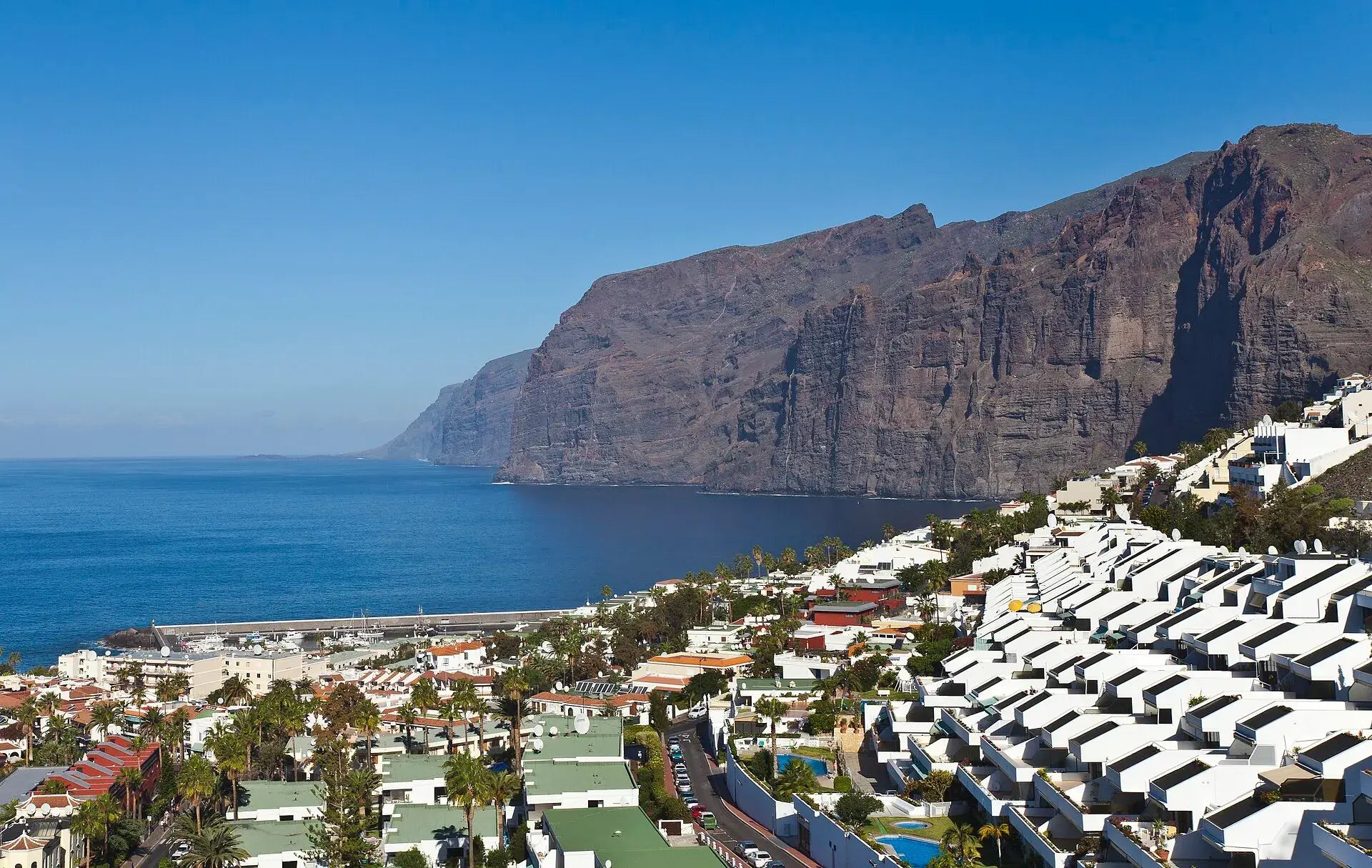
Los Gigantes Tenerife: cliffs, boat trips, beaches and access
Los Gigantes (Tenerife): cliffs up to 600 m, Archipenque viewpoint, boats from the marina, Los Guíos, rock pools, buses 473 and 477 and where to park.
Tenerife protected areas rules: trail quotas and drones
Rules for Tenerife's protected areas: trails that need booking, Teide, Masca and El Pijaral, drones, camping, wildfire alerts, dogs and fines in 2026.