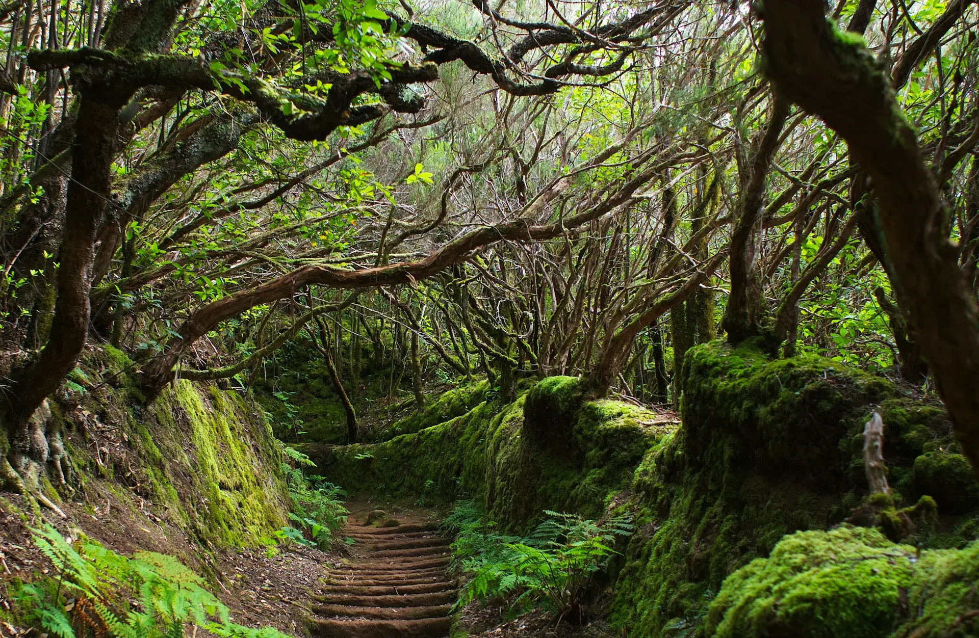
Photo by Mihály Köles on Unsplash
Best hikes in Tenerife: trails by difficulty and area
Hiking in Tenerife spans three landscapes, all less than two hours' drive from one another: the volcanic high mountains of Teide National Park, the laurisilva (laurel forest) and ravines of Anaga and Teno, and the dry southern coast with its lava fields and tuff cones. This selection brings together 12 routes with a practical fact sheet (distance, elevation, time, permits, water, shade and guagua, the local word for bus) plus four shorter ones, sorted by difficulty and with the area given for each. The figures come from the official route sheets of the national park and the Cabildo de Tenerife (the island government); when a source does not publish a figure, we leave it out.
How we made this selection
We have prioritised waymarked trails with an official route sheet: the numbered trails of Teide National Park, the Cabildo's PR-TF routes that are officially approved or awaiting approval, and the regulated paths that require a booking. The difficulty given for each route is the official source's, which is sometimes generous: a trail rated "easy" on Teide is still at 2,200 m with no shade. Before you set off, check Tenerife ON, the Cabildo's platform, for closures due to wind, heat, snow or fire risk; in summer, summit trails are often closed during high-temperature alerts.
Easy routes
Roques de García (trail no. 3)
The most famous loop on the island circles the Roque Cinchado and drops to the foot of La Catedral, with Teide always in view. The first stretch to the viewpoint is flat and accessible; the rest has loose rock.
- Area: Teide National Park, opposite the Parador. Start: La Ruleta viewpoint.
- Distance: 3.6 km. Elevation: about 170 m. Time: 2 hours. Type: loop.
- Difficulty: easy according to the Cabildo, medium according to the park. Permit: no.
- Water and shade: none; café at the Parador.
- Bus: lines 342 (Costa Adeje) and 348 (Puerto de la Cruz), Parador stop, one trip a day.
- Warnings: the car park is full from mid-morning; the Cabildo has announced capacity controls at the viewpoint.
Sendero de los Sentidos (Cruz del Carmen)
Three short sections through the laurisilva next to the Anaga visitor centre: the first, with a wooden boardwalk, is suitable for pushchairs; the second, about 500 m long, has steps and a raised walkway; the third links the two and descends to the Llano de los Loros viewpoint.
- Area: Anaga Rural Park, La Laguna. Start: Cruz del Carmen visitor centre.
- Distance: about 2.15 km in total. Time: under an hour. Difficulty: easy. Type: loop.
- Permit: no. Water and shade: full shade; café and toilets at the visitor centre.
- Bus: line 273 from La Laguna bus station, Saturdays, Sundays and public holidays only, every 30 minutes; every day, lines 076, 077 and 275 also stop at Cruz del Carmen.
- Warnings: mist and slippery ground almost every day; bring a warm layer.
La Caldera – Mamio (PR-TF 35, La Orotava)
A loop among pines and chestnut trees from the La Caldera recreation area in Aguamansa, along the Mamio track and past the Casa del Agua. The easiest forest walk in the north and the alternative when Teide is closed by snow.
- Area: north, La Orotava, Corona Forestal Natural Park. Start: La Caldera recreation area car park.
- Distance: 5.7 km. Elevation: 215 m. Time: 2 hours 30 minutes. Altitude: between 1,000 and 1,200 m.
- Difficulty: easy. Type: loop. Permit: no.
- Water and shade: almost full shade; water fountains in the recreation area.
- Bus: line 348 (Puerto de la Cruz–Teide) stops at Aguamansa on the way up.
- Warnings: the recreation area closes during fire or wind alerts.
Other short routes with an official route sheet
- Montaña Roja (El Médano): a short, shadeless climb up the 171 m cone that closes off La Tejita beach, a 166-hectare special nature reserve; car parks at the El Tapao bend and next to the beach, off the TF-643. Strong wind at the top and plover nests off the path.
- Rambla de Castro (Los Realejos): a protected landscape with a palm grove, the Castro family estate, the San Pedro chapel and the La Gordejuela water pumping station, starting from the San Pedro viewpoint (exit from the TF-5 after km 41). Easy; the route sheet does not give a distance.
- Malpaís de Güímar, trail 1 (El Puertito): a 6.1 km loop, 169 m of elevation, 3 hours, medium difficulty, across recent lava with no shade; at dawn only in summer.
- Las Vueltas de Taganana (Anaga): a 4.5 km cobbled descent from the forest lodge on the TF-12 to Taganana, 2 hours 30 minutes, medium difficulty; return on bus 946.
Medium routes
Arenas Negras (trail no. 2)
A loop from El Portillo across a field of black lapilli (volcanic gravel) with Teide ahead and views over the Orotava Valley. The best introduction to the park without a car, because both buses terminate at the trailhead.
- Area: Teide National Park. Start: El Portillo visitor centre.
- Distance: between 6 and 7.6 km depending on the route sheet (national park or Cabildo). Elevation: between 260 and 370 m. Time: 3 hours.
- Difficulty: easy according to the park, medium according to the Cabildo. Type: loop. Permit: no.
- Water and shade: none; toilets at the visitor centre.
- Bus: lines 342 and 348, end of the line at El Portillo.
- Warnings: one downhill section reaches a 60 % gradient on volcanic sand.
- Longer alternative from the same start: Siete Cañadas (trail no. 4), 16.6 km of almost flat walking at the foot of the Guajara wall between El Portillo and the Parador, 4 to 5 hours, with no water, no shade and no way out along the way.
Samara (trail no. 13)
Recent volcanoes, lone pines on black lava and the western face of Teide and Pico Viejo. The quietest trail in the park and one of the best at sunset.
- Area: Teide National Park, western access. Start: km 7.5 of the TF-38 (from Chío), Samara car park.
- Distance: 4.6 km. Elevation: 130 m. Time: 2 hours 45 minutes.
- Difficulty: medium. Type: loop. Permit: no.
- Water and shade: none. Bus: no.
- Warnings: loose volcanic sand on the climbs; sunglasses or goggles in the wind.
Cruz del Carmen – Chinamada – Punta del Hidalgo (PR-TF 10)
Anaga's great descent: laurisilva on the ridge, the hamlet of Las Carboneras, the inhabited cave houses of Chinamada, the Aguaide viewpoint above the sea and the final drop to the natural pools of Punta del Hidalgo.
- Area: Anaga Rural Park, La Laguna. Start: Cruz del Carmen (about 920 m; the trail's highest point is around 950 m). Finish: Punta del Hidalgo, by the sea.
- Distance: 10.4 km. Elevation: 420 m of ascent and 1,300 m of descent. Time: 4 hours.
- Difficulty: medium. Type: one way, officially approved. Permit: no.
- Water and shade: shade in the first half; none after Chinamada. Bars in Las Carboneras and Punta del Hidalgo.
- Bus: line 273 to Cruz del Carmen (weekends and public holidays) or lines 076, 077 and 275 (daily); back from Punta del Hidalgo, the 050 to La Laguna or the 105 to La Laguna and Santa Cruz.
- Warnings: the descent is hard on the knees; trekking poles are recommended. The Chinamada–Punta del Hidalgo section is 4.7 km (2 hours 15 minutes) and works as a shorter version.
Paisaje Lunar (PR-TF 72, Vilaflor)
The white tuff spires of the Paisaje Lunar (Lunar Landscape), set among pines at almost 2,000 m, are reached on an officially approved loop from Vilaflor along the old Camino de Chasna. The most complete route in the south.
- Area: south, Vilaflor de Chasna, Corona Forestal Natural Park. Start and finish: Vilaflor.
- Distance: 12.9 km. Elevation: 778 m. Time: 4 hours. Altitude: between 1,381 and 1,967 m.
- Difficulty: medium. Type: loop, officially approved. Permit: no.
- Water and shade: pine forest for much of the way; no reliable water sources.
- Bus: line 342 (Costa Adeje–Teide) stops in Vilaflor, one trip a day.
- Warnings: check Tenerife ON for closures due to wildlife control or fire risk; the Paisaje Lunar itself is fenced off and must not be walked on.
Barranco del Infierno (Adeje)
The most visited ravine in the south climbs from the old town of Adeje to a waterfall along a narrow path. Access is regulated, with a daily quota, booking, a compulsory helmet and insurance included.
- Area: south, Adeje. Start: Calle Los Molinos, at the top of the old town. Distance: 6.5 km return. Elevation: about 250 m. Time: about 3 hours. Type: out and back.
- Permit: compulsory booking on the official website, with an entry time; paid, with a reduced rate for residents (check the current price). Entry from 8:00 to 10:30 from 1 June to 15 September and until 11:30 the rest of the year; everyone must be out by 13:30 in summer and 14:30 in winter.
- Age: not allowed for children under 5; under-16s must be accompanied. No animals.
- Water and shade: partial shade at the bottom of the ravine.
- Warnings: closes in rain or during wind alerts; the quota sells out weeks in advance in high season.
Challenging routes
Montaña Blanca – Pico del Teide (trails no. 7 and no. 10)
The hike up the highest point in Spain: an easy track among the Huevos del Teide (Teide's Eggs, large lava boulders), the shoulder of Montaña Blanca, the Altavista refuge and a final scramble over loose rock to La Rambleta. The upper section of trail 7 and the final stretch to the crater require a booking; the regulations, the refuge and the fee are covered in our Teide National Park guide.
- Area: Teide National Park. Start: km 40.2 of the TF-21, Montaña Blanca car park (about 2,350 m). Finish: La Rambleta (3,555 m) or the summit (3,718 m).
- Distance: 8.2 km to La Rambleta plus 0.65 km to the peak. Elevation: about 1,190 m plus about 168 m. Time: 5 hours 30 minutes plus 40 minutes.
- Difficulty: hard. Type: one way; descend on foot or by cable car with a one-way ticket bought at the top.
- Permit: yes. Trail 7 requires a Tenerife ON booking for its upper section, and the Telesforo Bravo trail a separate booking with a quota per time slot; since 19 January 2026 both carry a fee, paid only by people who do not live in Tenerife. The step-by-step process is in our guide to the Teide summit permit.
- Water and shade: none. Bus: not practical for the ascent.
- Warnings: the park advises against it for people with heart problems; altitude sickness is common; cold and wind at any time of year; closures due to snow and ice.
Alto de Guajara (trails no. 5 and no. 15)
Guajara, at 2,715 m, is the highest point of the caldera wall and the best balcony over Teide, the Llano de Ucanca and, on clear days, the neighbouring islands.
- Area: Teide National Park, southern rim of the caldera. Start: the Parador, along trail 4 to the turn-off for trail 5.
- Official figures by section: trail 5, 1.3 km and 205 m to the Degollada de Guajara pass (1 hour, hard); trail 15, 3.7 km and 352 m from the pass to the summit (2 hours 30 minutes). Add the approach along Siete Cañadas and the return by the same path.
- Difficulty: hard. Type: out and back. Permit: no.
- Water and shade: none. Bus: it does not fit between the outbound and return trips of lines 342 and 348.
- Warnings: loose rock on the climb to the pass; strong wind at the summit; start at dawn.
Afur – Tamadite – Taganana – Afur (PR-TF 8)
Anaga's most complete route follows the Afur ravine, with running water for much of the year, down to the wild Tamadite beach; it then climbs the cliff to Taganana, continues through the Las Vueltas woodland and returns to Afur along the Inchirés path.
- Area: Anaga Rural Park, Santa Cruz de Tenerife. Start and finish: Afur square, via the TF-136.
- Distance: 14.3 km. Elevation: about 1,550 m cumulative. Time: 7 hours. Altitude: from sea level to 861 m.
- Difficulty: medium according to the official route sheet, but it is a full day in the mountains. Type: loop. Permit: no.
- Water and shade: shade only in the woodland; no water sources; bar in Taganana.
- Bus: not practical for the loop; line 946 reaches Taganana if you do it one way with support.
- Warnings: do not swim at Tamadite, which has dangerous currents; the ravine can become impassable after rain. For an easier taste of Anaga, the Anaga Rural Park guide suggests shorter alternatives.
Barranco de Masca (Teno)
The descent of the Masca ravine, from the hamlet to the beach, is regulated by the Cabildo: compulsory booking, a quota, access only by authorised transport, descent only and exit by boat to Los Gigantes. The most spectacular trail in Tenerife and the most demanding in terms of logistics.
- Area: Teno Rural Park, Buenavista del Norte. Start: access checkpoint in Masca (about 750 m). Finish: Masca beach.
- Distance: about 5 km, downhill only. Elevation: about 750 m of descent with short climbs. Time: about 4 hours.
- Difficulty: hard according to the official website, which requires good physical fitness. Type: one way, with exit by boat.
- Permit: booking on the trail's official website. Descent slots from 8:30 to 13:00, with 25 people every half hour, on certain days of the week only (check the calendar). As of October 2026, bookings open from Wednesday to Saturday and the non-resident rate starts at €40.66 (IGIC included) according to the official website, with special rates for Canary Islands residents and free for Tenerife residents. The boat is paid separately and must leave no more than four hours after your slot. Not allowed for children under 8. All the details are in our guide to the Masca gorge.
- Transport: you cannot drive to the start; use TITSA bus 355 from Santiago del Teide, one hour before your slot.
- Water and shade: no water sources; little shade at midday. At least 1.5 litres per person.
- Warnings: hiking boots are compulsory (smooth soles are not allowed); a helmet is lent at the checkpoint; free cancellation only more than 72 hours ahead; closes in rain or heavy swell.
Which one to choose
- With young children: Sendero de los Sentidos, the accessible section of the Roques de García and Rambla de Castro.
- Without a car: Arenas Negras (end of the line for buses 342 and 348), the PR-TF 10 with the buses to Cruz del Carmen and the 050 or 105 back, Las Vueltas de Taganana with the 946.
- A single day in the mountains: Roques de García in the morning and Samara at sunset, or Paisaje Lunar if you prefer forest.
- The big day out: Montaña Blanca–Teide with a permit, Afur–Tamadite–Taganana, or Masca with a booking.
- Heat in the south: Anaga or Aguamansa; if the north is overcast, Paisaje Lunar or Malpaís de Güímar.
- Views without much walking: Montaña Roja and Samara, plus the best viewpoints in Tenerife.
Mountain safety in Tenerife
- Heat. In the south and in the Anaga ravines temperatures exceed 35 degrees during calima (hot, dusty wind from the Sahara), and the Cabildo closes trails during high-temperature alerts. Start at dawn with more water than you think you need.
- Altitude. Above 2,000 m the sun burns twice as fast and there is less oxygen; altitude sickness is common at La Rambleta. Climb slowly and go down if symptoms appear.
- Mist and wind. Mist closes in within minutes in Anaga and the Corona Forestal: stay on the trail and carry the GPS track downloaded. Wind closes the cable car and makes the Anaga ridges and the Guajara summit dangerous; check the AEMET (Spanish weather agency) warning.
- Snow and fires. From December to March the access roads to Teide close; at maximum fire alert the Cabildo closes the forests and recreation areas.
- Emergencies. Call 112 and give the trail name and the nearest signpost. Tell someone your route and when you expect to be back. If you would rather go with company, many routes are offered with a guide among the best outdoor activities in Tenerife.
What to bring and when to go
Hiking boots with a good tread (compulsory in Masca), layers with a windbreaker even if it is hot lower down, a hat and gloves on Teide from November to April, sunglasses and high-factor sun cream, between one and a half and three litres of water depending on the route, food, trekking poles for the Anaga descents, a first-aid kit and a head torch if the route runs close to sunset. There are no water sources in the national park, and in Anaga the hamlet bars close on some days: do not count on restocking.
October to May is the good season in the south, in Teno and in the ravines; May to October is the season for the high mountains, with the tajinaste flowering on Teide in May and June. Anaga can be walked all year round, with more mud in winter. July and August mean early starts and account for most heat closures. To get between areas, see getting around Tenerife; to get off the busiest circuits, the hamlets and paths in the lesser-known corners of Tenerife are a good starting point.
Frequently asked questions
What is the most beautiful hike in Tenerife?
It depends on the landscape: for the volcano, the Roques de García or, with a permit, the summit of Teide; for forest and sea, the PR-TF 10 from Cruz del Carmen to Punta del Hidalgo; for a ravine, Masca with a booking. With no paperwork and just one day, the PR-TF 10 sums up the island in four hours.
Do you need a permit to hike in Tenerife?
Yes, in these cases: the summit of Teide (Telesforo Bravo trail) and the climb via Montaña Blanca (trail 7), both booked on Tenerife ON and, since January 2026, with a fee only for people who do not live in Tenerife; the Masca ravine; the Barranco del Infierno; and El Pijaral, the loop through Anaga's oldest laurisilva from La Ensillada, which requires a free prior authorisation on Tenerife ON with a very small daily quota. A Cabildo resolution of October 2026 adds a booking requirement, with no fee, for national park trails 9, 23 and 28, but as of October 2026 no date for it to take effect has been confirmed: check Tenerife ON. The other national park trails and the Cabildo's PR-TF routes are open and free. Car access to Punta de Teno along the TF-445 is also banned while the roadworks last: you get there on bus 369 from Buenavista del Norte.
Can you go hiking in Tenerife without a car?
Yes, with some planning. Buses 342 and 348 reach Teide once a day; the 273 (weekends) and the 076, 077 and 275 go up to Cruz del Carmen, and the 050 and 105 come back from Punta del Hidalgo; the 946 reaches Taganana; the 342 stops in Vilaflor; and the 355 is the only way to reach the start of Masca. Confirm timetables with TITSA the day before.
Which route should you take to hike up Teide?
The only waymarked one is trail 7 via Montaña Blanca, 8.2 km and about 1,190 m of elevation to La Rambleta, plus trail 10 to the crater with a permit. Allow just over six hours for the ascent, start at dawn and come down by cable car with a ticket bought at the top, or spend a night at the Altavista refuge and climb before dawn.
Keep planning
You may also like
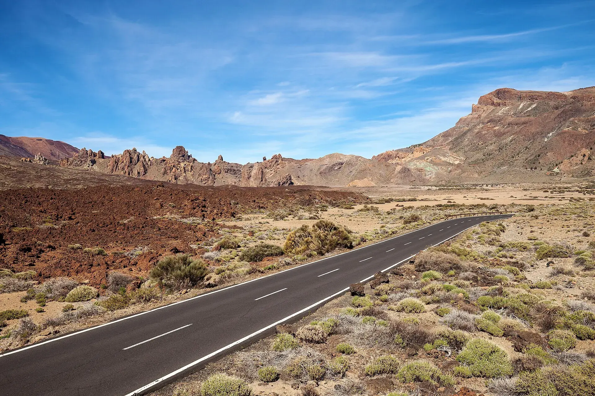
Cycling in Tenerife: riding up Teide and the key routes
Cycling in Tenerife: how to ride up Teide via Vilaflor, La Orotava, La Esperanza and Chío, with distances, elevation gain, best season, rules and bike hire.
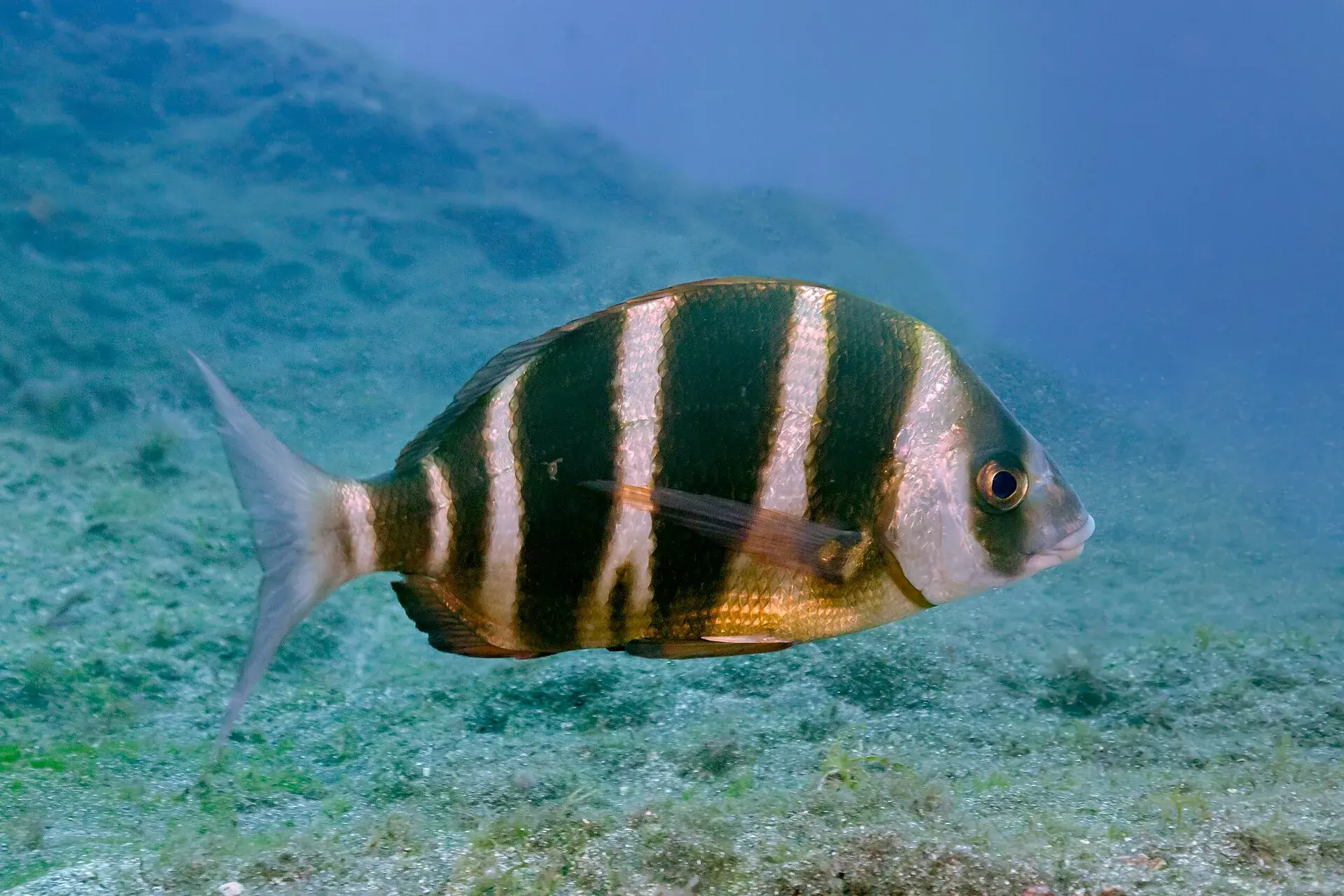
Diving in Tenerife: best spots, snorkelling, try dives and rules
Diving and snorkelling in Tenerife by area: Abades, El Puertito, Las Galletas, Radazul, Los Gigantes and Garachico, with depth, wildlife, try dives and safety.
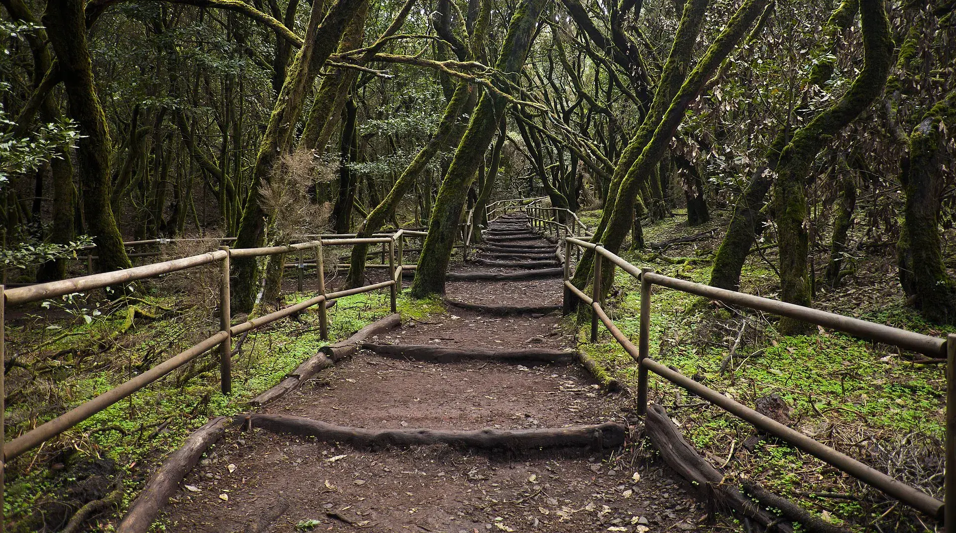
La Gomera day trip from Tenerife: ferry, route and timings
La Gomera day trip from Tenerife: ferries from Los Cristianos, car or tour, a route through Garajonay, Hermigua and Agulo, and how not to miss the last boat.
 Featured
Loro Parque or Siam Park: which to choose, prices and Twin Ticket
Loro Parque or Siam Park: differences, prices and Twin Ticket in 2026, opening hours, free buses, minimum heights, food, queues and who each park suits best.