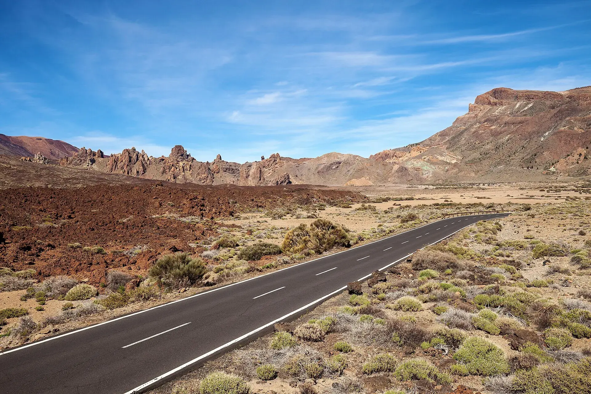
Photo by Thomas Wolf , www.foto-tw.de, CC BY-SA 3.0 de, via Wikimedia Commons
Cycling in Tenerife: riding up Teide and the key routes
Cycling in Tenerife revolves around one idea: riding up Teide from sea level, more than 2,000 metres of climbing in a single ascent. Four roads reach Las Cañadas, the caldera above 2,000 metres that surrounds the peak: the TF-21 via Vilaflor from the south, the TF-21 via La Orotava from the north, the TF-24 via La Esperanza from La Laguna and the TF-38 from Chío, in the west. With good fitness, any of them can be done in a morning from October to May, and all of them call for warm clothing at the top, water for the climb and respect for the traffic rules that came into force on 1 October 2026. This guide gives the figures for each climb, the best months, bike hire and what you need to know about safety.
Why the pros train here
The Parador de Las Cañadas del Teide, inside the National Park and above 2,000 metres, has for years been the training-camp base for professional cycling teams before the Grand Tours. It combines three things that are hard to find together in Europe: altitude to sleep at, a mild winter climate on the coast, and long, steady climbs in every direction, so you can descend to the sea and climb back up another side. That same altitude has a less friendly side: in March 2026 a storm left the park covered in snow and ice, the Cabildo (the island government) closed every access road and the cyclist Remco Evenepoel spent two days cut off at the Parador until a patrol escorted his vehicle on the descent. For the amateur cyclist, the lesson is clear: up there the weather changes fast and the road can be closed.
The classic Teide climbs
The figures come from Turismo de Tenerife's official routes and from climb profiles published by specialist platforms; depending on the exact start and finish points they vary by a few kilometres. Before setting off, check the National Park information in the Teide guide.
South: Los Cristianos, Vilaflor and the TF-21
- Route: Los Cristianos via the TF-28 and TF-51 (Arona, La Camella), and the TF-21 via Vilaflor to the National Park boundary · Distance: 33 to 37 km, depending on the finish · Elevation gain: 2,100 to 2,240 m · Average gradient: around 6 %, with sections over 11 % · Water stops: Arona and Vilaflor.
This is the longest continuous climb and the most popular with those staying in the south. The first kilometres, between Los Cristianos, Arona and La Camella, have the heaviest traffic; from Vilaflor, the highest village in the Canary Islands (at about 1,380 metres), the road enters the pine forest and traffic thins out. To Vilaflor it is about 21 km and around 1,260 metres of climbing, a good ascent in its own right for a first day. The village and the Paisaje Lunar are covered in the Vilaflor guide.
North: La Orotava and the TF-21
- Route: from La Orotava (or from Puerto de la Cruz) on the TF-21, via Aguamansa and the La Piedra viewpoint to El Portillo · Distance: about 27 km from La Orotava to El Portillo; about 47 km from Puerto de la Cruz to the high point of the TF-21 · Elevation gain: around 2,400 m from Puerto de la Cruz · Average gradient: close to 6 % on the TF-21 · Water stops: La Orotava, Aguamansa and El Portillo (visitor centre and bar-restaurant).
The greenest climb: it crosses the chestnut-covered midlands and the La Orotava pine forest, often inside the sea of clouds (mar de nubes), the layer of low cloud the trade winds form at mid-altitude. In fog, use lights and visible clothing. The hardest, most sustained stretch is the series of hairpins above La Orotava. Turismo de Tenerife's Route 2 combines it with the descent via La Esperanza: 98 km and 2,727 metres of total climbing.
North-east: La Esperanza and the TF-24
- Route: from La Laguna, at about 550 metres, via La Esperanza and the ridge road to Izaña, at about 2,300 metres, then down to El Portillo · Elevation gain: around 1,750 m to Izaña · Water stops: La Esperanza is the last village with services.
This is the climb for those staying in Santa Cruz or La Laguna and the one with the viewpoints: La Tarta, La Crucita, Ayosa and Ortuño line the ridge road. Fog on the ridge is common in the afternoon and the temperature drops quickly. Turismo de Tenerife includes it in its Route 8, the full loop from Costa Adeje via Arafo, La Esperanza, Teide and Vilaflor: 162 km and 3,950 metres of climbing, only for very well-trained cyclists.
West: Chío and the TF-38
- Route: from Chío (Guía de Isora) on the TF-38 to Boca Tauce, where it joins the TF-21 · Climb distance: about 24 km · Average gradient: 5.6 %, with ramps of 10 % · Water stops: Chío; there are no services on the climb.
This is the loneliest climb and one of the most spectacular, between lava flows and pine forest, with the Chío viewpoint near the top. It is part of Turismo de Tenerife's Route 7: a loop from Costa Adeje via Guía de Isora, Chío and Teide, descending via Vilaflor, 101 km with 3,841 metres of climbing and a high point of about 2,360 metres.
Masca and the Isla Baja
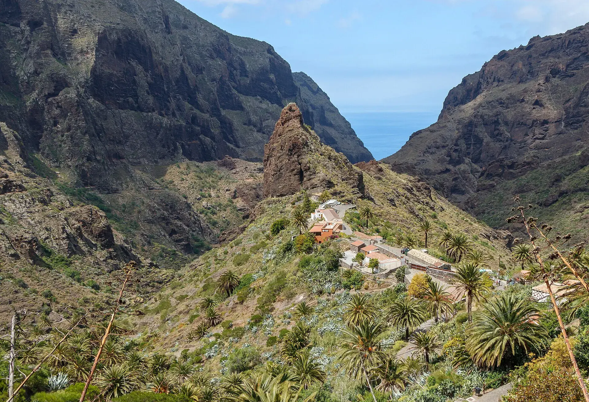
It is not a Teide climb, but it is the island's most technical road. The official Route 1 starts in Garachico, climbs to the Erjos pass (about 1,100 metres, km 19), passes through Santiago del Teide and drops to Masca on gradients of up to 20 % before returning via Buenavista del Norte: 54 km and 1,589 metres of climbing. The TF-436 is narrow, with blind bends, buses and visitors' cars; since 30 July 2026 it has an access control that is activated during wildfire risk alerts. More details on this road and the others in a Tenerife road trip.
Which to choose
- First Teide climb: the TF-21 via Vilaflor, for its steady gradient and for Vilaflor as a stopover.
- The most beautiful: the TF-24 via La Esperanza, with the ridge viewpoints.
- The hardest: Los Cristianos–Vilaflor–Teide linked with the TF-38 (Route 7) or the full Route 8 loop.
- A short day or active rest: Los Cristianos–Vilaflor and back, or the official Route 6 (70 km and 1,368 metres), along the south coast to El Médano with gentle climbs.
- Technique and scenery: Masca via Route 1.
Best season, wind and cold at the top
Turismo de Tenerife recommends spring and autumn for long routes. From October to May the coast is mild and the mountains cool; in summer the heat bites on the southern climbs, so it is best to set off at dawn. In winter, above 2,000 metres you may find snow or ice, and the park road is closed whenever the Cabildo decides: check road conditions the day before.
The temperature difference between the coast and Las Cañadas is large, and the descent chills you even more. Always carry a windproof jacket, arm warmers and full-finger gloves for the descent, even if it is 25 degrees in Los Cristianos. The wind, stronger in exposed areas, pushes you sideways on open bends. The Tenerife packing list includes the layering that also works on the bike.
Traffic and rules
Royal Decree 518/2026, which amends Spain's General Traffic Regulations and came into force on 1 October 2026, changes several rules that affect cyclists:
- Helmet: compulsory for all cyclists on interurban roads, without the previous exceptions for long climbs, heat or medical reasons. Under-16s must always wear one.
- Overtaking cyclists: vehicles must slow down by at least 20 km/h below the road's limit, leave 1.5 metres of lateral clearance and, where the road has more than one lane in each direction, change lanes completely.
- In town: cyclists may ride in the centre of the lane, and motor vehicles behind them must keep at least 5 metres back.
- In groups: you may ride two abreast, keeping as far to the side as possible, and in single file on sections without visibility or with heavy traffic. Groups of more than 50 cyclists need authorisation from the Cabildo or the island cycling federation.
Add mountain common sense: in the National Park, ride only on authorised roads and tracks, and at the viewpoints cars reverse out without looking.
Bike hire and transport
- Hire: in the southern resorts and in Puerto de la Cruz there are shops that rent road bikes by the day or week. Check whether pedals and helmet are included, and book ahead from October to May, the busiest season.
- E-bike: it lets non-training riders climb Teide, but the battery is the limit. Ask about the real range with 2,000 metres of climbing and plan the route so you do not run out of assistance at the top.
- Bringing your own bike by plane: book sports equipment with the airline when you buy your ticket, travel with a hard case or padded bag, and check the rules on CO2 cartridges and electronic groupset batteries. From the airport, you will need a large taxi or a transfer with room for the box; the Tenerife airports guide explains the connections.
- Buses: do not count on taking your bike on TITSA's guaguas (buses) as a way back; check the conditions with the company itself.
Mountain biking
The island network of mountain bike routes includes the BC-1 (North Route), the longest at about 85 km, and the BC-5, through the Vilaflor pine forests inside the Corona Forestal Nature Reserve. In protected areas, and particularly in the National Park, you may only ride on authorised roads and tracks: check the signage and the park rules before setting off.
Safety and water
- Water and food: there are hardly any fountains on the climbs. Set off with two bottles and refill in the villages (Arona, Vilaflor, La Esperanza, Chío) and at El Portillo; at the top, the Parador and El Portillo are practically the only services.
- Sun and altitude: at 2,000 metres the UV is very intense and the air dry. Sunscreen, sunglasses and drink before you are thirsty.
- Descents: tight bends, gravel after rain, buses and visitors' cars stopping at any viewpoint. Descend with a margin and with your rear light on.
- Calima: the suspended dust (calima) makes breathing harder under exertion; if AEMET (Spain's weather agency) issues a warning, shorten your ride.
- Emergencies: 112. Mobile coverage fails in parts of the park and on the TF-38; tell someone your route.
Frequently asked questions
How long does it take to cycle up Teide?
It depends a lot on your level. As a reference, Turismo de Tenerife estimates about 5 hours for the full Route 7, 101 km with 3,841 metres of climbing, at an average of 20 km/h.
Can you cycle to the summit of Teide?
No. The highest road reaches about 2,360 metres, in Las Cañadas. For the peak you need the cable car and the summit permit, or an ascent on foot via regulated trails.
When is the best time for cycling in Tenerife?
Spring and autumn. In winter the coast is ideal, but up high there may be snow and closures; in summer it is best to set off at dawn because of the heat.
Is a helmet compulsory in Tenerife?
Yes, on all interurban roads and with no exceptions since 1 October 2026. In town it is compulsory for under-16s.
Is it worth hiring an e-bike for Teide?
Yes, if you do not train regularly and want the scenery without suffering. Check the battery range with climbing and choose an out-and-back route on the same road.
Keep planning
You may also like
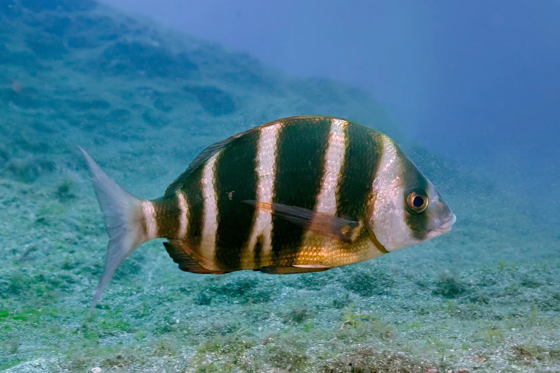
Diving in Tenerife: best spots, snorkelling, try dives and rules
Diving and snorkelling in Tenerife by area: Abades, El Puertito, Las Galletas, Radazul, Los Gigantes and Garachico, with depth, wildlife, try dives and safety.
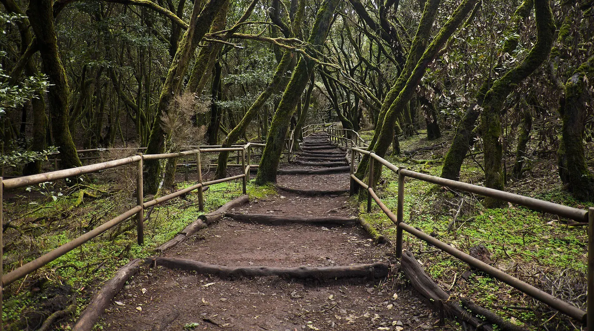
La Gomera day trip from Tenerife: ferry, route and timings
La Gomera day trip from Tenerife: ferries from Los Cristianos, car or tour, a route through Garajonay, Hermigua and Agulo, and how not to miss the last boat.
 Featured
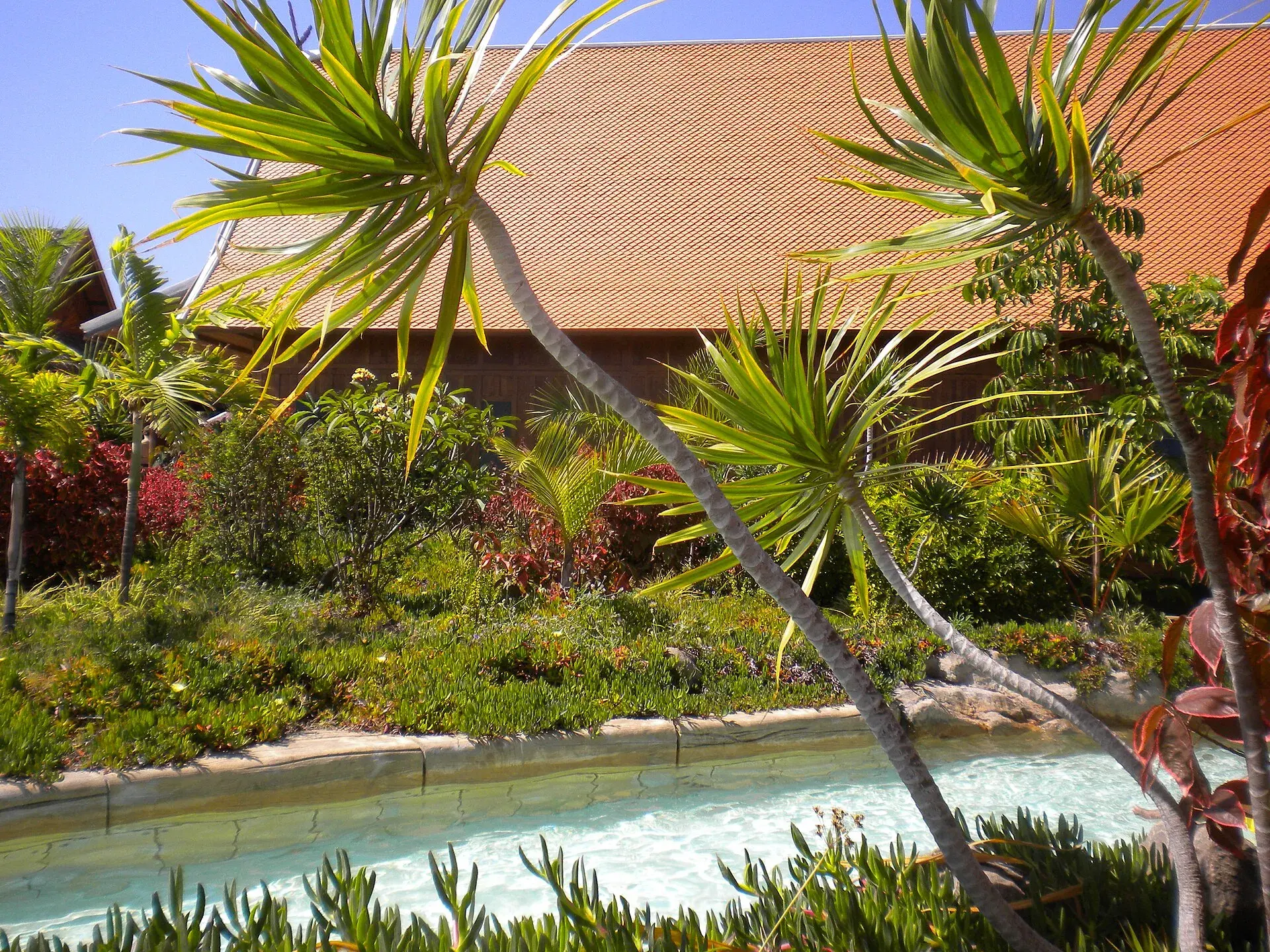
Loro Parque or Siam Park: which to choose, prices and Twin Ticket
Loro Parque or Siam Park: differences, prices and Twin Ticket in 2026, opening hours, free buses, minimum heights, food, queues and who each park suits best.
 Featured
Masca gorge hike: booking, rules, bus 355 and the boat out
Masca gorge hike in 2026: compulsory booking, official price, bus 355, time slots, minimum age, boat to Los Gigantes and what to do if the trail is closed.